Williams Township near Phillipsburg in Warren County, New Jersey — The American Northeast (Mid-Atlantic)
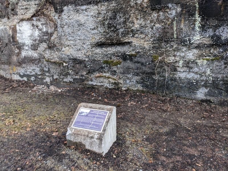
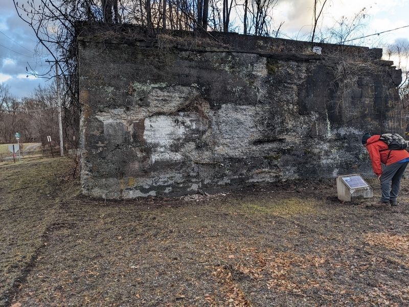
Andover Iron Furnace Concrete Faced Loading Ramp

Photographed by Seva Zaslavsky, January 1, 2025
1. Andover Iron Furnace Concrete Faced Loading Ramp Marker
Mined raw iron ore and anthracite coal were delivered to Andover Iron Furnace. Here this raw iron ore was heated by furnaces run by coal to make pig-iron. The pig-iron was shipped to the Trenton Iron Works (later known as the United States Steel Company) in Trenton, New Jersey, by first the Morris Canal, and later by railroad, where it was used primarily to make steel for the 1000s of miles of railroad tracks. It was also used to make gun barrels for the Union Army in the Civil War.
The loading ramp, one section directly in front of you, and the other section across the road to your left, is just out of view in the image of the Andover Furnace—shown with the elevated railroad—taken c.1900.
The ramp is part of the Historic District of the Morris Canal and is listed on both the New Jersey State and the National Register of Historic Places.
2013 Eagle Scout Project
by Peter Finegan of Troop 27, Bucks County Council of the Boy Scouts of America and the Phillipsburg Area Historical Society
Erected 2013
this page online
Topics. This historical marker is listed in these topic lists: Industry & Commerce • Railroads & Streetcars • War, US Civil • Waterways & Vessels.
Location. 40° 40.844′ N, 75° 10.751′ W. Marker is near Phillipsburg, New Jersey, in Warren County. It is in Williams Township. It is on Morris Canal Way north of Sawmill Street, on the left when traveling north. Touch for map. Marker is at or near this postal address: 15 Sawmill St, Phillipsburg NJ 08865, United States of America. Touch for directions.

Regionally, this marker is in New Jersey’s North Jersey. It is also in the American Northeast and in the Mid-Atlantic. Globally, it is in North America, the Western Hemisphere, the Western World, and the Anglosphere. Historically, it finds itself in what was once New Netherland and also one of the original Thirteen Colonies.
Other nearby markers. At least 8 other markers are within walking distance of this marker: Early Industry (approx. 0.2 miles away); James Campbell
Photographed by Seva Zaslavsky, January 1, 2025
2. Andover Iron Furnace Concrete Faced Loading Ramp Marker
Photographed by Seva Zaslavsky, January 1, 2025
3. Andover Iron Furnace Concrete Faced Loading Ramp Marker
Credits. This page was last revised on July 13, 2025. It was originally submitted on January 1, 2025, by Seva Zaslavsky of Maplewood, New Jersey. This page has been viewed 245 times since then and 39 times this year. Photos: 1, 2, 3. submitted on January 1, 2025, by Seva Zaslavsky of Maplewood, New Jersey. • Bernard Fisher was the editor who published this page.
