
Truro in Barnstable County, Massachusetts — The American Northeast (New England)
A Vanishing Shoreline
Photographed by Conrad Ward, July 28, 2024
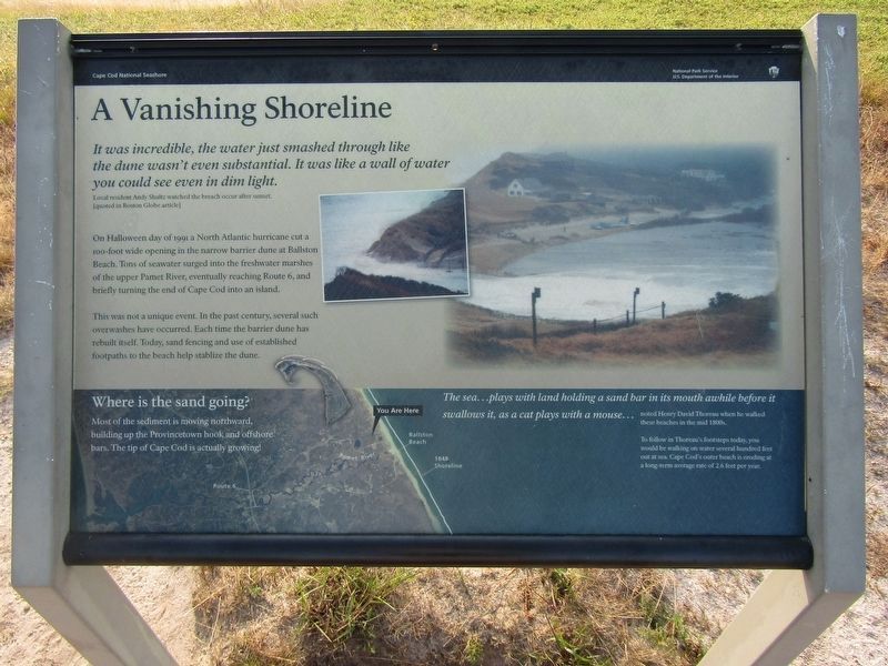
1. A Vanishing Shoreline Marker
It was incredible, the water just smashed through like the dune wasn't even substantial. It was like a wall of water you could see even in dim light.
Local resident Andy Shot watched the breach occur after sunset.
[quoted in Boston Globe article]
On Halloween day of 1991 a North Atlantic hurricane cut a 100-foot wide opening in the narrow barrier dune at Ballston Beach. Tons of seawater surged into the freshwater marshes of the upper Pamet River, eventually reaching Route 6, and briefly turning the end of Cape Cod into an island.
This was not a unique event. In the past century, several such overwashes have occurred. Each time the barrier dune has rebuilt itself. Today, sand fencing and use of established footpaths to the beach help stabilize the dune.
Where is the sand going?
Most of the sediment is moving northward, building up the Provincetown hook, and offshore bars. The tip of Cape Cod is actually growing!
The sea...plays with land holding a sand bar in its mouth awhile before it swallows it, as a cat plays with a mouse... noted Henry David Thoreau when he walked these beaches in the mid
this page online
To follow in Thoreau's footsteps today, you would be walking on water several hundred feet out at sea. Cape Cod's outer beach is eroding at a long-term average rate of 2.6 feet per year.
Erected by Cape Cod National Seashore (National Parks Service).
Topics. This historical marker is listed in these topic lists: Disasters • Environment • Waterways & Vessels. A significant historical date for this entry is October 31, 1991.
Location. 42° 0.171′ N, 70° 1.528′ W. Marker is in Truro, Massachusetts, in Barnstable County. It can be reached from Higgins Hollow Road north of North Pamet Road, on the left when traveling north. Located on East Summit of Bearberry Hill. Touch for map. Marker is in this post office area: Truro MA 02666, United States of America. Touch for directions.

Regionally, this marker is on Massachusetts’ Cape Cod. It is also in the American Northeast, in New England, and on the Eastern Seaboard. Globally, it is in the North Atlantic Region, North America, the Western Hemisphere, the Western World, and the Anglosphere. Historically, it finds itself in what was once one of the original Thirteen
Photographed by Conrad Ward, July 28, 2024
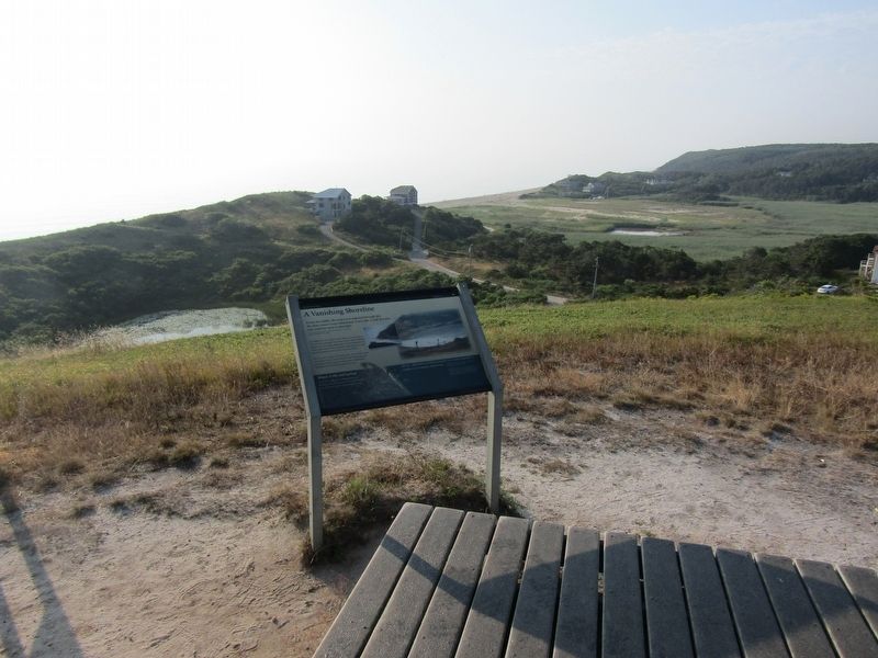
2. A Vanishing Shoreline Marker
Other nearby markers. At least 8 other markers are within 4 miles of this marker, measured as the crow flies: Pamet Cranberry Company (about 400 feet away, measured in a direct line); American Cranberry (approx. 0.2 miles away); Ralph S. Barnaby (approx. 2.8 miles away); Sixteen Pilgrims (approx. 2.8 miles away); Cape Cod Highland Lighthouse (approx. 3.1 miles away); Here Today Gone Tomorrow (approx. 3.1 miles away); The Steamship Portland (approx. 3.2 miles away); Truro Highlands Historic District (approx. 3.2 miles away). Touch for a list and map of all markers in Truro.
Also see . . . 1991 Perfect Storm (Wikipedia). Wikipedia (Submitted on January 6, 2025.)
Photographed by Conrad Ward, July 28, 2024
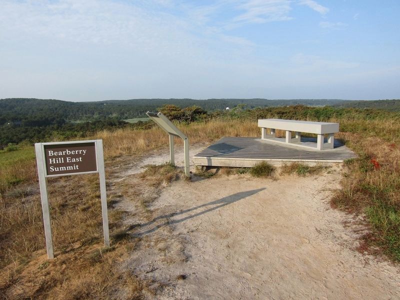
3. Bearberry Hill East Summit
Photographed by Conrad Ward, July 28, 2024
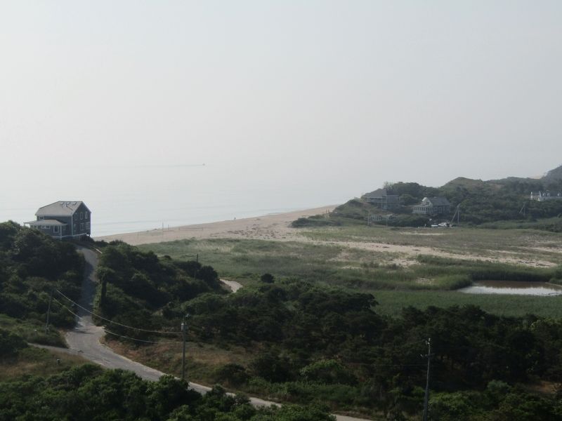
4. Ballston Beach
Credits. This page was last revised on January 11, 2025. It was originally submitted on January 6, 2025, by Conrad Ward of Guilford, Connecticut. This page has been viewed 208 times since then and 52 times this year. Photos: 1, 2, 3, 4. submitted on January 6, 2025, by Conrad Ward of Guilford, Connecticut. • Michael Herrick was the editor who published this page.
