Quincy in Hickory County, Missouri — The American Midwest (Upper Plains)
Butterfield Overland Mail Route - 1858-1861
[Quincy Relay and Meal Station]
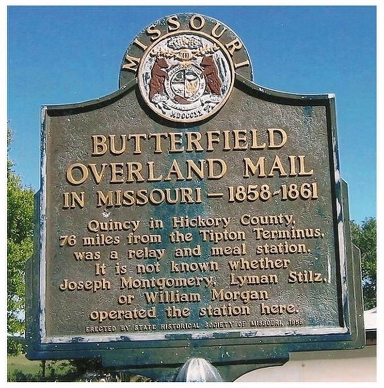
1. Quincy Relay and Meal Station Marker
Sign has been moved 450ft south from this original location and is now in front of the Public Hall
Erected 1958 by State Historical Society of Missouri.
Topics. This historical marker is listed in these topic lists: Immigration • Landmarks • Roads & Vehicles • Settlements & Settlers. A significant historical year for this entry is 1861.
Location. 38° 0.524′ N, 93° 28.32′ W. Marker is in Quincy, Missouri, in Hickory County. It is at the intersection of Highway (Missouri Route 83) and Hickory County (County Route 86) on Highway. Touch for map. Marker is at or near this postal address: 14348, Quincy MO 65735, United States of America. Touch for directions.

Regionally, this marker is in South-Central Missouri. It is also in the American Ozarks, in the Lewis & Clark Corridor, and in the Corn Belt. Globally, it is in North America, the Western Hemisphere, the Western World, and the Anglosphere. Historically, it finds itself in what was once the territory of the Mississippian Culture, the Louisiana Purchase,
this page online
Other nearby markers. At least 7 other markers are within 13 miles of this marker, measured as the crow flies: Weaubleau Christian Institute and College (approx. 8.9 miles away); John Whitaker (approx. 9 miles away); Veterans Memorial (approx. 9 miles away); Hickory County War Memorial (approx. 9.7 miles away); Hickory County (approx. 9.7 miles away); Butterfield Overland Mail in Missouri 1858-1861 (approx. 11.1 miles away); Yoast Station (approx. 13 miles away).
More about this marker. Next to the Public Hall Historical Marker
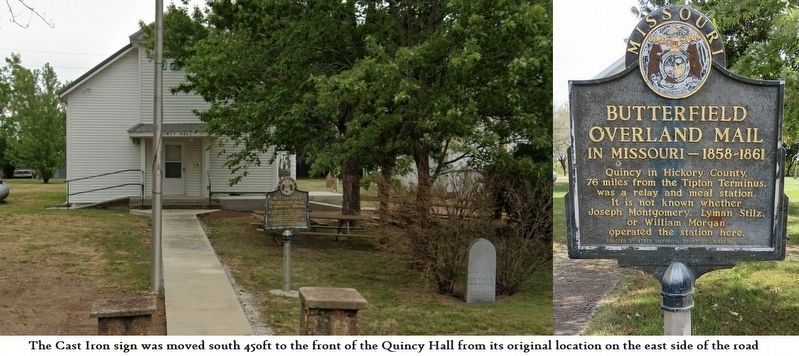
April 10, 2024
2. Station Sign in front of Public Hall
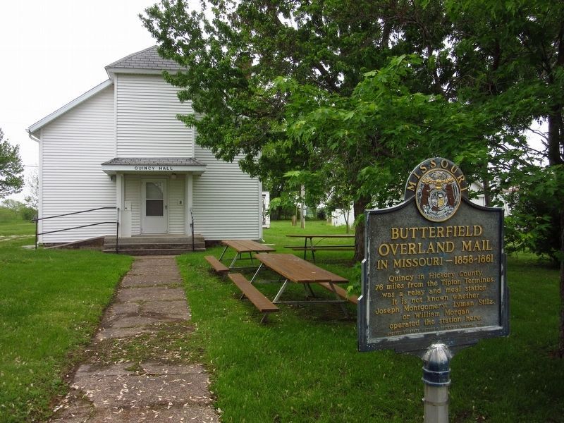
Photographed by Brent Hugh, May 3, 2019
3. Butterfield Overland Mail Route - 1858-1861 Marker in Quincy
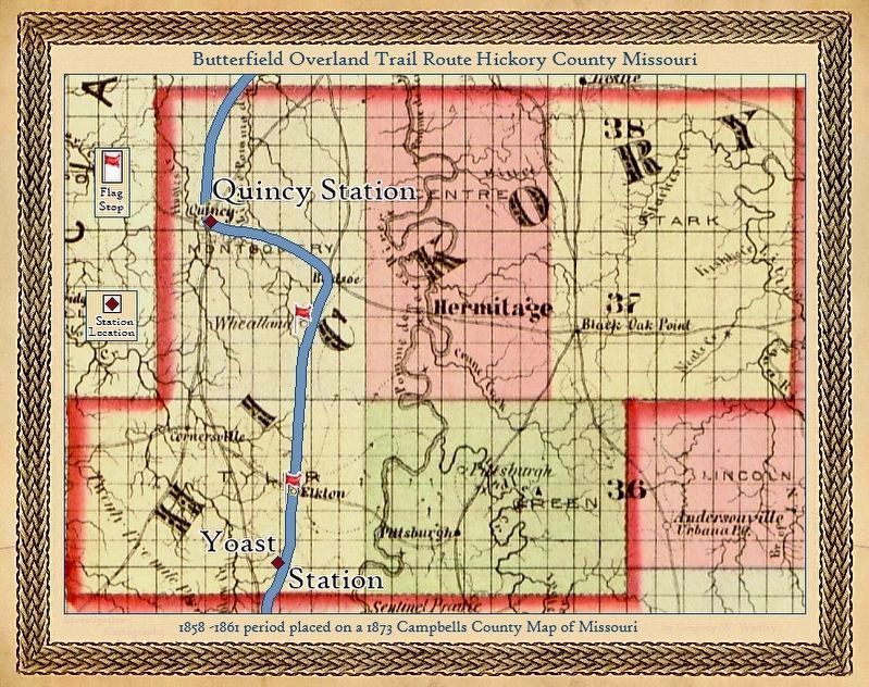
Photographed by Gregory William Wadley
4. Butterfield Overland Mail Route Hickory County Missouri 1858-1861 Period
Credits. This page was last revised on January 25, 2025. It was originally submitted on November 15, 2024, by Gregory William Wadley of Fremont Hills, Missouri. This page has been viewed 311 times since then and 76 times this year. Last updated on January 24, 2025, by Brent Hugh of Raytown, Missouri. Photos: 1, 2. submitted on November 15, 2024, by Gregory William Wadley of Fremont Hills, Missouri. 3. submitted on January 24, 2025, by Brent Hugh of Raytown, Missouri. 4. submitted on November 15, 2024, by Gregory William Wadley of Fremont Hills, Missouri. • J. Makali Bruton was the editor who published this page.
