
Batavia in Kane County, Illinois — The American Midwest (Great Lakes)
Bellevue Place
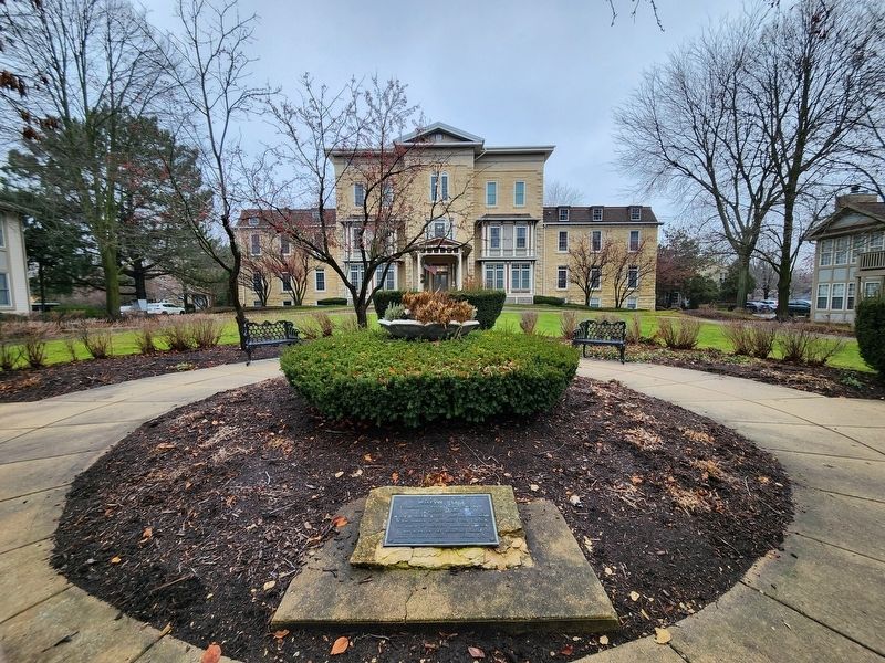
Photographed by Doug Green, December 24, 2023
1. Bellevue Place Marker. Bellevue Place is in the background.
Erected 1986 by Batavia Historical Society.
Topics. This historical marker is listed in these topic lists: Charity & Public Work • Education • Science & Medicine • Women. A significant historical year for this entry is 1875.
Location. 41° 50.682′ N, 88° 18.958′ W. Marker is in Batavia, Illinois, in Kane County. It is at the intersection of South Jefferson Street and Union Avenue, on the right when traveling south on South Jefferson Street. The marker is about 100 feet west of the intersection of South Jefferson Street and Union Avenue in a garden in front of Batavia Place. Touch for map. Marker is at or near this postal address: 405 S Jefferson St, Batavia IL 60510, United States of America. Touch for directions.

Regionally, this marker is in Greater Chicago. It is also in the American Midwest and on the Great Lakes. Globally, it is in North America, the Western Hemisphere, the
this page online
Other nearby markers. At least 8 other markers are within 3 miles of this marker, measured as the crow flies: Civil War Memorial (approx. ¼ mile away); Kane County Veterans Memorial (approx. 2.4 miles away); Spanish-American / Philippines War (approx. 2.4 miles away); World War I (approx. 2.4 miles away); World War II (approx. 2.4 miles away); Korean War (approx. 2.4 miles away); Vietnam (approx. 2.4 miles away); Kane County Government Center (approx. 2½ miles away).
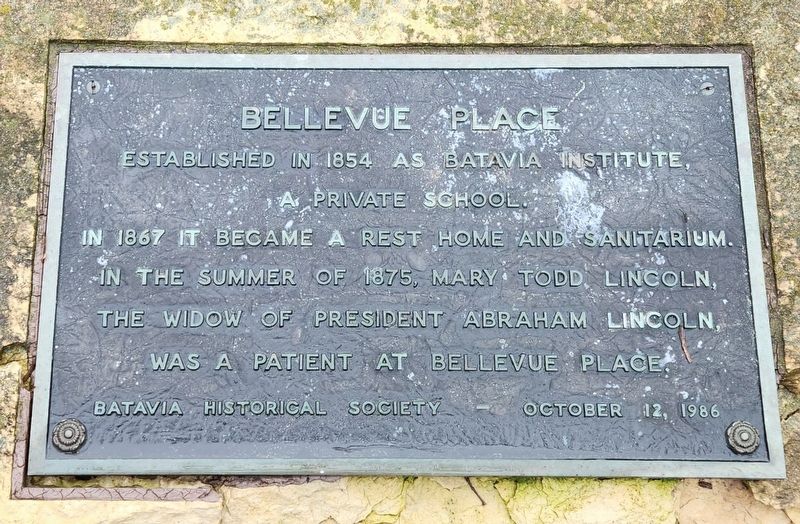
Photographed by Doug Green, December 24, 2023
2. Bellevue Place Marker

Photographed by Doug Green, December 24, 2023
3. Bellevue Place
Credits. This page was last revised on February 6, 2025. It was originally submitted on January 28, 2025, by Doug Green of Sugar Land, Texas. This page has been viewed 177 times since then and 21 times this year. Photos: 1, 2, 3. submitted on January 28, 2025, by Doug Green of Sugar Land, Texas. • Devry Becker Jones was the editor who published this page.
