Near Williamsbug in York County, Virginia — The American South (Mid-Atlantic)
Redoubts 12 & 13: The End of the Williamsburg Line
| — | New Quarter Park | — |
Photographed by Evan Dwyer, January 18, 2025
1. Redoubts 12 & 13: The End of the Williamsburg Line Marker
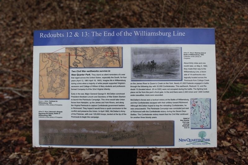
Two Civil War earthworks survive in New Quarter Park. They stand as silent reminders of a war that raged across the United States, especially the South, for four years (April 12, 1881-April 18, 1865). Imagine life in Williamsburg during a time when a majority of white people supported Virginia's secession and College of William & Mary students and professors formed Company A of the 32nd Virginia Infantry.
Early in the war, Major General George B. McClellan convinced President Abraham Lincoln and Secretary of War Edwin Stanton to launch the Peninsula Campaign. This drive would take Union forces from Hampton, up the James and York Rivers, and along the Virginia Peninsula to capture Confederate government leaders in Richmond. They hoped it would force a quick conclusion to the conflict and preserve the Union. In April 1862, McClellan's Army of the Potomac, with over 120,000 troops, landed at the tip of the Peninsula to begin the campaign.
About thirty miles and one month later, on May 4, 1862, they made their way to the Williamsburg Line, a blockade of 14 earthworks strategically located across the Peninsula from
this page online
McClellan's forces won a tactical victory at the Battle of Williamsburg, and the Confederates escaped with their artillery toward Richmond. Although McClellan hoped to trap the retreating Confederates, he was unsuccessful. The Peninsula Campaign was concluded just east of Richmond with the Confederate victory during the Seven Days Battles. The Confederate victory meant that the Civil War continued for another three bloody years.
Erected by York County.
Topics. This historical marker is listed in these topic lists: Anthropology & Archaeology • War, US Civil. A significant historical date for this entry is May 5, 1862.
Location. 37° 17.575′ N, 76° 38.647′ W. Marker is near Williamsbug, Virginia, in York County. It can be reached
Photographed by Evan Dwyer, January 18, 2025
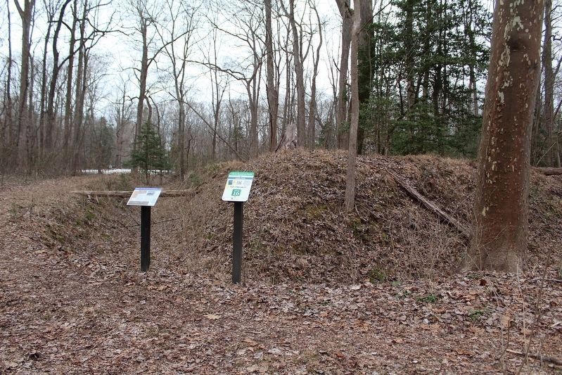
2. Marker location on the Redoubt 12 trail
The exterior of the western corner (and gun position) of Redoubt 12 is visible behind and just to the right of the marker.

Regionally, this marker is on Virginia’s Peninsula, in Coastal Virginia, and in the Hampton Roads Metropolitan Area. It is also in the American South, specifically in the Upper South, in the Tidewater, and on the Eastern Seaboard. Globally, it is in the North Atlantic Region, North America, the Western Hemisphere, the Western World, and the Anglosphere. Historically, it finds itself in what was once the territory of the Mississippian Culture, one of the original Thirteen Colonies, one of the Confederate States of America, and the Antebellum South.
Other nearby markers. At least 8 other markers are within 3 miles of this marker, measured as the crow flies: A Union Advance (approx. 0.7 miles away); Redoubt 12 (approx. 0.8 miles away);
Photographed by Evan Dwyer, January 18, 2025
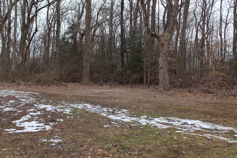
3. Redoubts 12 in the woods behind the long tee for Disc Golf Hole 10
The southern face of the earthworks are just visible in the woods beyond the concrete disc golf launch pad. The upright "Redoubt 12" vertical sign marks the end of the Redoubt 12 trail. The marker is down the trail to the left from this viewpoint.
Another marker is no longer nearby. Vineyard Tract (was approx. 2.3 miles away but has been replaced with another marker now near it).
More about this marker. The left side of the marker contains a Henry L. Abbott map and detail inset showing the locations of Redoubts 12 & 13 in 1862. The bottom of the marker shows a sketch of Alfred R. Waud, entitled "Hancock's Brigade Repulsing the Enemy, Battle of Williamsburg 1862."
The upper right of the marker contains another Alfred R. Waud sketch entitled "Kearney [sic] at Battle of Williamsburg, 1862."
The lower right of the marker shows a map of the park with the two redoubts marked. Redoubt 13, 1/4 of a mile southeast, does not have an associated marker but is located next to the tee for hole 15 on the Disc Golf course. The easiest
Photographed by Evan Dwyer, January 18, 2025
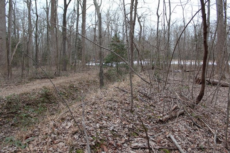
4. Facing the Park visitor center from Redoubt 12
The marker is outside the redoubt to the left of the position of this photo. View looks northwest towards the bleachers (sports field visible covered in snow) and the visitor's center beyond.
Related marker. Click here for another marker that is related to this marker. Civil War Trails has further information on these redoubts at the entrance parking lot for the park.
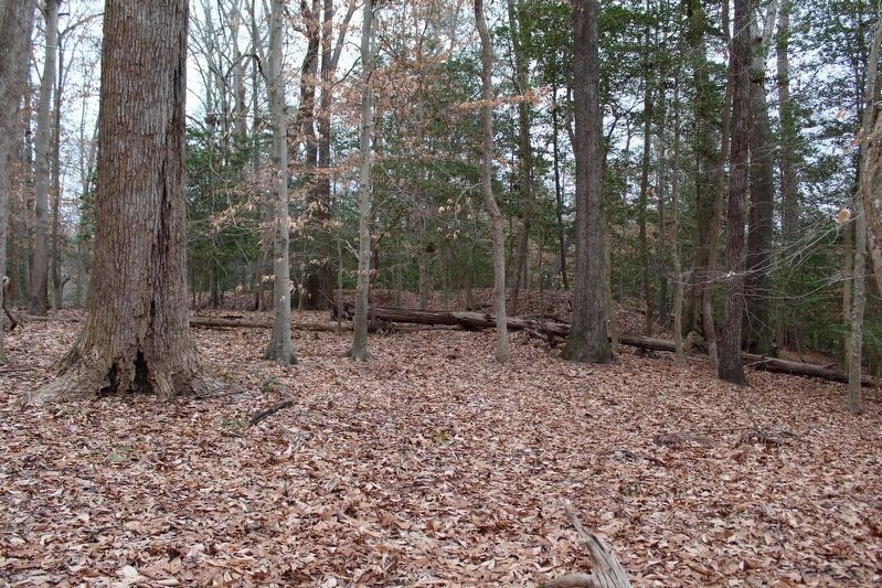
Photographed by Evan Dwyer, January 18, 2025
5. Redoubt 13
Visible in the woods and shaped like a chevron is Redoubt 13, described on the marker at Redoubt 12. To reach Redoubt 13 the visitor must walk 0.25 miles southwest from Redoubt 12 through several Disc Golf Course Holes. This view shows the interior/rear of the redoubt, as seen from the Disc Golf trail between holes 12 & 13.
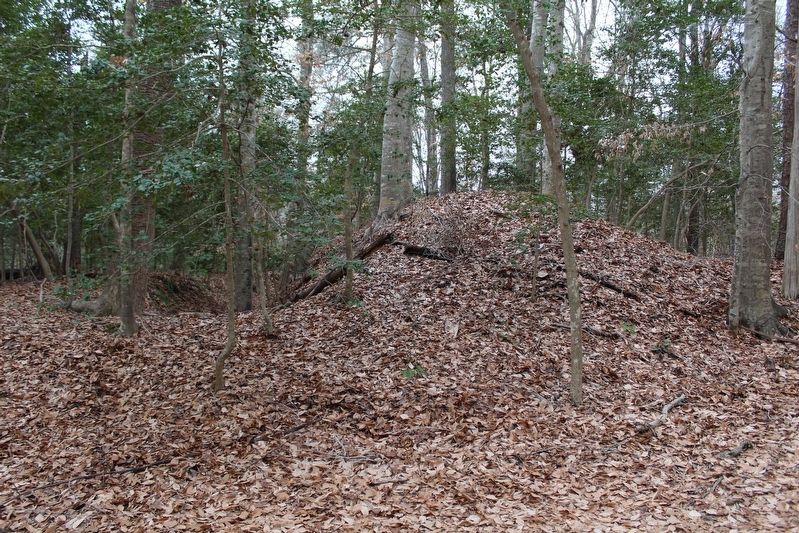
Photographed by Evan Dwyer, January 18, 2025
6. Redoubt 13 from the Launch Tee of Disc Golf Hole 15
The most direct access to Redoubt 13 is by following Hole 10 from Redoubt 12, then veering slightly east at the southern edge of the clearing and entering the woods following Hole 15. This view looks west from the vicinity of the hole 15 launching pad - in the direct opposite direction of the Disc Golf field of play. This can be difficult to see during summer and spring months. Beware of flying discs, and ticks!
Credits. This page was last revised on July 24, 2025. It was originally submitted on January 28, 2025, by Evan Dwyer of Richmond, Virginia. This page has been viewed 456 times since then and 124 times this year. Photos: 1, 2, 3, 4, 5, 6. submitted on January 28, 2025, by Evan Dwyer of Richmond, Virginia. • Bernard Fisher was the editor who published this page.
