Alva in Woods County, Oklahoma — The American South (West South Central)
The Supply Trail
| — | Alva Mural Society | — |
Photographed by Cosmos Mariner, September 8, 2024
1. The Supply Trail Marker
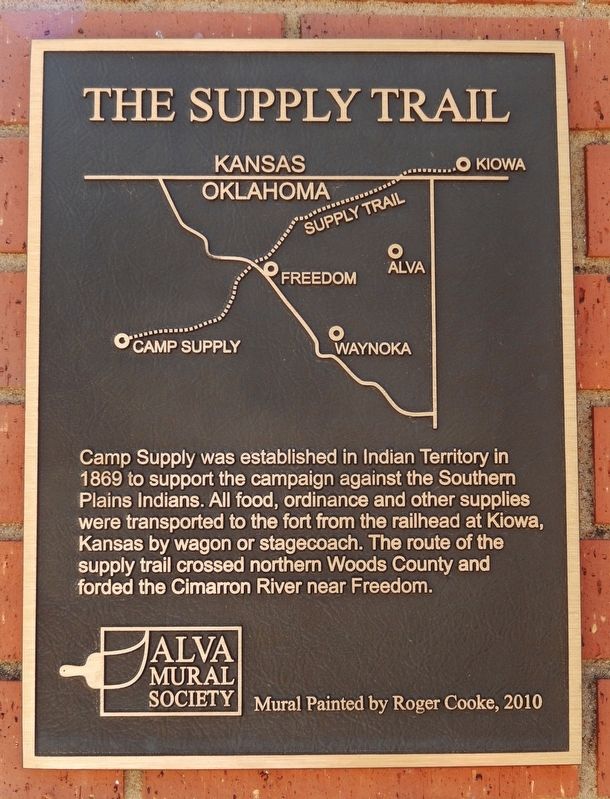
Camp Supply was established in Indian Territory in 1869 to support the campaign against the Southern Plains Indians. All food, ordinance and other supplies were transported to the fort from the railhead at Kiowa, Kansas by wagon or stagecoach. The route of the supply trail crossed northern Woods County and forded the Cimarron River near Freedom.
Erected 2010 by Alva Mural Society. (Marker Number 20.)
Topics. This historical marker is listed in these topic lists: Forts and Castles • Indigenous Peoples and Communities • Roads & Vehicles • Settlements & Settlers. A significant historical year for this entry is 1869.
Location. 36° 48.19′ N, 98° 39.923′ W. Marker is in Alva, Oklahoma, in Woods County. It is on 5th Street just south of Barnes Street, on the right when traveling south. The marker and mural are located on the east facade of the building at this location. Touch for map. Marker is at or near this postal address: 509 5th Street, Alva OK 73717, United States of America. Touch for directions.

Regionally, this marker is in the American South, specifically on the
this page online
Other nearby markers. At least 8 other markers are within walking distance of this marker: Burning of the Castle on the Hill (within shouting distance of this marker); Monfort Drug and Book Store / Jim and Mary Holder (within shouting distance of this marker); Alva POW Camp (within shouting distance of this marker); World's Tallest Man (within shouting distance of this marker); 45th Infantry Div. (about 300 feet away, measured in a direct line); In Honor of the Growth of Cooperative Extension Continuing Education in Woods County (about 300 feet away); Woods County Centennial Wall (about 300 feet away); World War I Memorial (about 400 feet away). Touch for a list and map of all markers in Alva.
Also see . . . Fort Supply (Wikipedia).
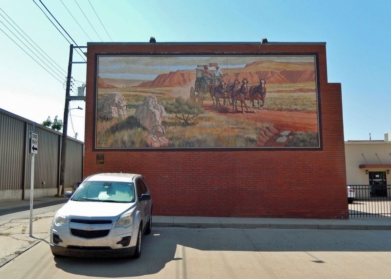
Excerpt: Fort Supply (originally Camp Supply) was a United States Army post established on November 18,(Submitted on February 2, 2025, by Cosmos Mariner of Cape Canaveral, Florida.)1868, in Indian Territory to protect the Southern Plains. It was located just east of present-day Fort Supply, Oklahoma, in what was then the Cherokee Outlet.Photographed by Cosmos Mariner, September 8, 20242. The Supply Trail Marker and MuralLooking west across 5th Street; the marker is mounted just below the bottom left corner of the mural.
It was from Camp Supply that George Armstrong Custer led the Seventh United States Cavalry south to the banks of the Washita River to destroy the village of the Cheyenne Indian chief Black Kettle in what became known as the Battle of the Washita.
Fort Supply was officially closed September 1894 following the opening of the Cherokee Outlet to settlement. One of the last missions troops from Fort Supply performed was bringing to end the violence of the Enid-Pond Creek Railroad War during the summer of 1894. On February 26, 1895, the last remaining troops turned over operation of the old fort to the Department of the Interior.
Photographed by Cosmos Mariner, September 8, 2024
3. The Supply Trail Mural
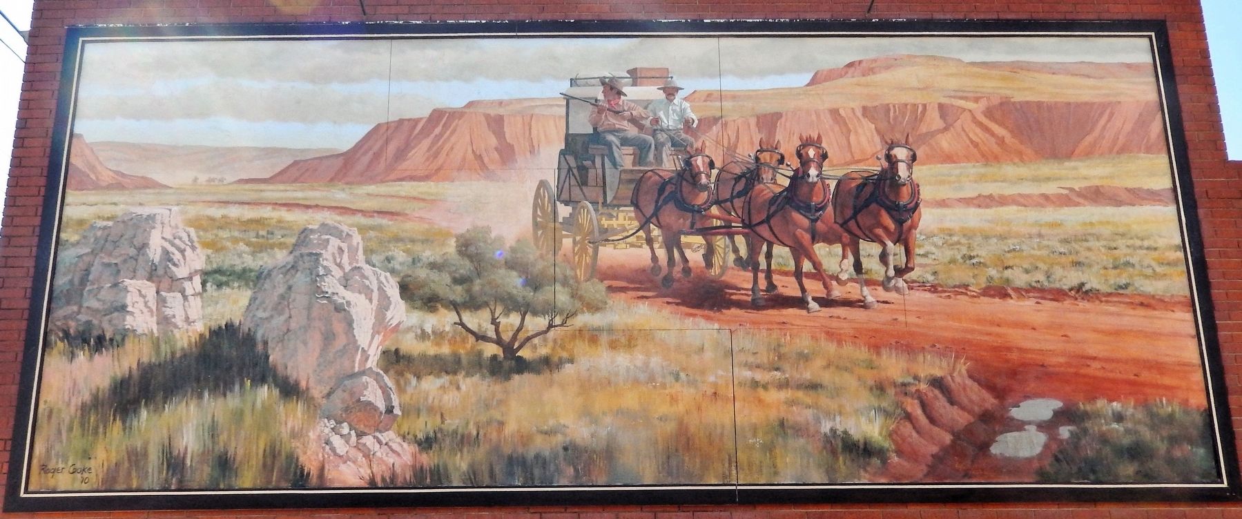
The mural was painted by Roger Cooke in 2010.
Credits. This page was last revised on February 2, 2025. It was originally submitted on January 31, 2025, by Cosmos Mariner of Cape Canaveral, Florida. This page has been viewed 141 times since then and 22 times this year. Photos: 1, 2, 3. submitted on February 2, 2025, by Cosmos Mariner of Cape Canaveral, Florida.
