East Potomac Park in Southwest Washington in Washington, District of Columbia — The American Northeast (Mid-Atlantic)
Engineering a Landmark
Hains Point, National Mall & Memorial Parks, Washington, D.C.
| — | National Park Service, U.S. Department of the Interior | — |
Photographed by Charles T. Harrell, June 13, 2011
1. Engineering a Landmark Marker
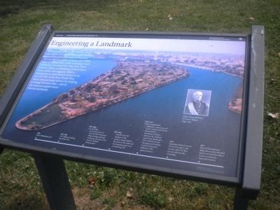
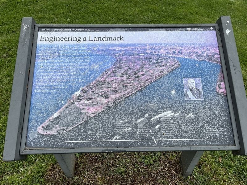
You stand on a part of the Potomac River once marred by unattractive, putrid mudflats. Hains Point forms just a part of the over 700-acre Potomac Park created in the 1880s from 12 million cubic yards of dredged river sediments. It is named for Maj. Gen. Peter Conover Hains, an illustrious United States Army soldier and engineer. With a distinguished career that stretched from the Civil War to the First World War, Hains remains better known for helping to design Potomac Park—one of the national capital’s more famous landmarks.
[Timeline:]
1840: Born in Philadelphia, Pa.
1857-1861: U.S. Military Academy, West Point, NY
1861-1865: U.S. Civil War• Fired “first shot” at First Bull Run/Manassas1862-1863:
• Helped design and map Vicksburg, MS siege works
• Married Virginia Pettis Jenkins• Transferred to the Engineer Corps1865-1907:
• Earned commendations from action in the battle and designing siege works at Vicksburg, MS
Engineering Projects• Lighthouse construction in South Carolina and Florida1916: Appointed Major General by Act of Congress and became only Civil War veteran officer in the Great War
• Potomac River Reclamation Project
• Surveyor for “national road” from Washington, D.C. to MountVernon
Click or scan to see
this page online
• Nicaragua and Panama Canal Commissions
• Baltimore, MD harbor defenses
1921: Died in Washington at Walter Reed Army Hospital; laid to rest with full military honors at Arlington National Cemetery
Erected by National Park Service, U.S. Department of the Interior.
Topics. This historical marker is listed in these topic lists: Man-Made Features • War, US Civil • War, World I. A significant historical year for this entry is 1857.
Location. Marker has been permanently removed. It was located near 38° 51.584′ N, 77° 1.333′ W. Marker was in Southwest Washington in Washington, District of Columbia. It was in East Potomac Park. It could be reached from Ohio Drive Southwest, on the right when traveling south. Marker is near the southern tip of Hains Point, south of parking lot about 100 yards. Touch for map. Marker was at or near this postal address: 2301 Ohio Dr SW, Washington DC 20024, United States of America.
We have been informed that this marker is no longer there and will not be replaced. This page is an archival view of what was.
Regionally,
Photographed by Devry Becker Jones (CC0), May 8, 2022
2. Engineering a Landmark Marker
Unfortunately, the marker has weathered significantly.

Other nearby markers. At least 8 other markers are within walking distance of this location: Women War Workers 1861 - 1865 (approx. half a mile away); "The Gun" (approx. half a mile away); Lincoln Assassination Trial (approx. half a mile away); Building 20, Grant Hall (approx. 0.6 miles away); General Ulysses S. Grant, USA (approx. 0.6 miles away); Matthew Henson Mural (approx. ¾ mile away); Walter Reed 1851 - 1902 (approx. 0.8 miles away); Walter Reed (approx. 0.8 miles away). Touch for a list and map of all markers in Southwest Washington.
Photographed by Charles T. Harrell, June 13, 2011
3. Engineering a Landmark Marker
Credits. This page was last revised on February 1, 2025. It was originally submitted on June 21, 2011, by Charles T. Harrell of Woodford, Virginia. This page has been viewed 1,756 times since then and 40 times this year. Last updated on January 31, 2025, by Glenn Klaus of Alexandria, Va, Usa. Photos: 1. submitted on June 21, 2011, by Charles T. Harrell of Woodford, Virginia. 2. submitted on May 8, 2022, by Devry Becker Jones of Washington, District of Columbia. 3. submitted on June 21, 2011, by Charles T. Harrell of Woodford, Virginia. • Devry Becker Jones was the editor who published this page.
