Winchester, Virginia — The American South (Mid-Atlantic)
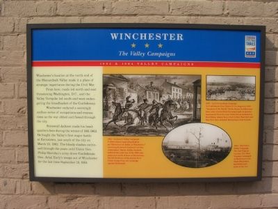
Winchester
The Valley Campaigns
— 1862 & 1864 Valley Campaigns —
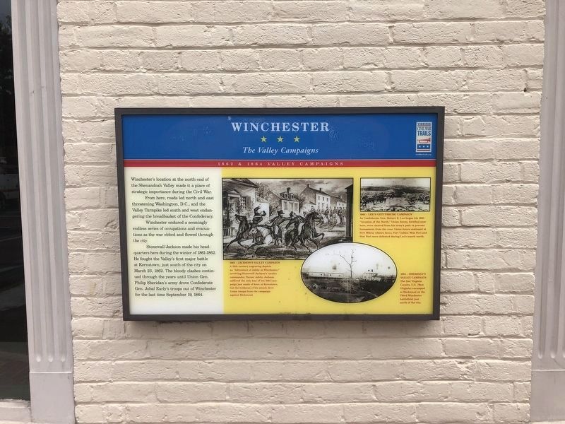
From here, roads led north and east threatening Washington, D.C., and the Valley Turnpike led south and west endangering the breadbasket of the Confederacy.
Winchester endured a seemingly endless series of occupations and evacuations as the war ebbed and flowed through the city.
Stonewall Jackson made his headquarters here during the winter of 1861–1862. He fought the Valley’s first major battle at Kernstown, just south of the city on March 23, 1862. The bloody clashes continued through the years until Union Gen. Philip Sheridan’s army drove Confederate Gen. Jubal Early’s troops out of Winchester for the last time September 19, 1864.
Erected by Civil War Trails.
Topics and series. This historical marker is listed in this topic list: War, US Civil. In addition, it is included in the Virginia Civil War Trails series list. A significant historical month for this entry is March 1756.
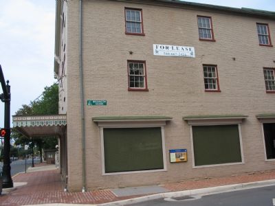
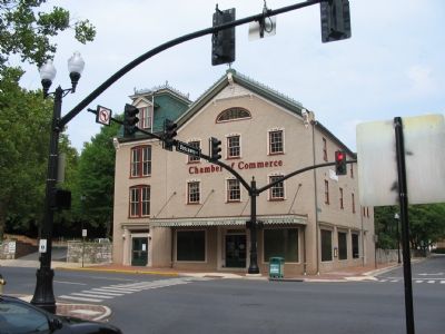
Location. 39° 11.022′ N, 78° 9.837′ W. Marker is in Winchester, Virginia. Marker is at the intersection of North Cameron Street (Business U.S. 522) and East Boscawen Street, on the right when traveling north on North Cameron Street . Located on the Boscawen Street side of the Kurtz Cultural Center. Touch for map. Marker is at or near this postal address: 2 North Cameron Street, Winchester VA 22601, United States of America. Touch for directions.
Other nearby markers. At least 10 other markers are within walking distance of this marker. Rouss City Hall Historical Tour (within shouting distance of this marker); The Winchester Star (within shouting distance of this marker); Admiral Richard Evelyn Byrd (within shouting distance of this marker); Second Battle of Winchester (within shouting distance of this marker); Jacob H. Yost Building (about 300 feet away, measured in a direct line); George Washington's Political Career Began on this Site (about 400 feet away); Lord Fairfax (about 400 feet away); Colonel James Wood (about 400 feet away); Frederick County Courthouse (about 500 feet away); A View of Winchester in 1745 - The Four Public Lots (about 500 feet away). Touch for a list and map of all markers in Winchester.
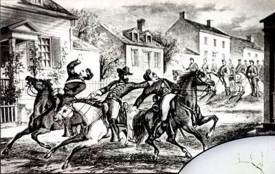
More about this marker. On the right side of the marker is a collection of drawings and photographs. The larger is a drawing showing action in Winchester’s streets, captioned, “1862–Jackson’s Valley Campaign A 19th century engraving depicts an ‘Adventure of Ashby at Winchester,’ involving Stonewall Jackson’s cavalry commander, Turner Ashby. Jackson suffered the only loss of his 1862 campaign just south of here at Kernstown, but the boldness of his attack drew Union troops from the campaign against Richmond.”
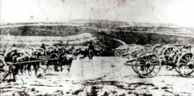
A photograph on the upper right is from “1863–Lee’s Gettysburg Campaign.” Showing captured artillery it is captioned, “As Confederate Gen. Robert E. Lee began his 1863 ‘invasion of the North,’ Union forces, fortified near here, were cleared from his army’s path to prevent harassment from the rear. Union forces stationed at Fort Milroy (shown here), Fort Collier, West Fort and Star Fort were defeated during Lee’s march north.”
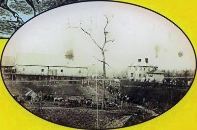
On the lower left is a photo taken during “1864–Sheridan’s Valley Campaign.” Showing a battle site from the Third Winchester where “The 2nd Virginia Cavalry, US (West Virginia) encamped at Hackwood on the Third Winchester battlefield, just north of the city.”
Additional keywords. 1862 Valley Campaign, 1864 Valley Campaign
Photographed By Allen C. Browne, October 18, 2015
4. 1862 Jackson's Valley Campaign
A 19th century engraving depicts an “Adventure of Ashby at Winchester,” involving Stonewall Jackson's cavalry commander, Turner Ashby. Jackson suffered the only loss of his 1862 campaign just south of here at Kernstown, but the boldness of his attack drew Union troops from the campaign against Richmond.Close-up of image on marker
Photographed By Allen C. Browne, October 18, 2015
5. 1863 - Lee's Gettysburg Campaign
As Confederate Gen. Robert E. Lee began his 1863 “invasion of the North,” Union forces, fortified near here, were cleared from his army's path to prevent harassment from the rear. Union forces stationed at Fort Milroy (shown here), Fort Collier, West Fort and Star Fort were defeated during Lee's march north.Close-up of image on marker
Credits. This page was last revised on July 6, 2020. It was originally submitted on September 23, 2007, by Craig Swain of Leesburg, Virginia. This page has been viewed 2,047 times since then and 29 times this year. Photos: 1. submitted on May 28, 2020, by Devry Becker Jones of Washington, District of Columbia. 2, 3. submitted on September 23, 2007, by Craig Swain of Leesburg, Virginia. 4, 5, 6, 7. submitted on October 31, 2015, by Allen C. Browne of Silver Spring, Maryland. 8. submitted on September 23, 2007, by Craig Swain of Leesburg, Virginia. • J. J. Prats was the editor who published this page.
