Remington in Baltimore, Maryland — The American Northeast (Mid-Atlantic)
Cresmont Ave
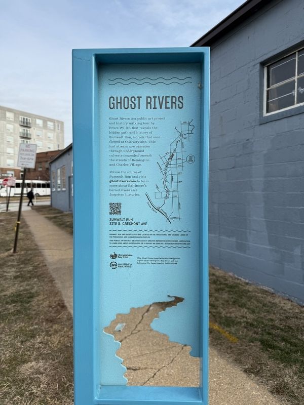
| — | Green Rivers | — |
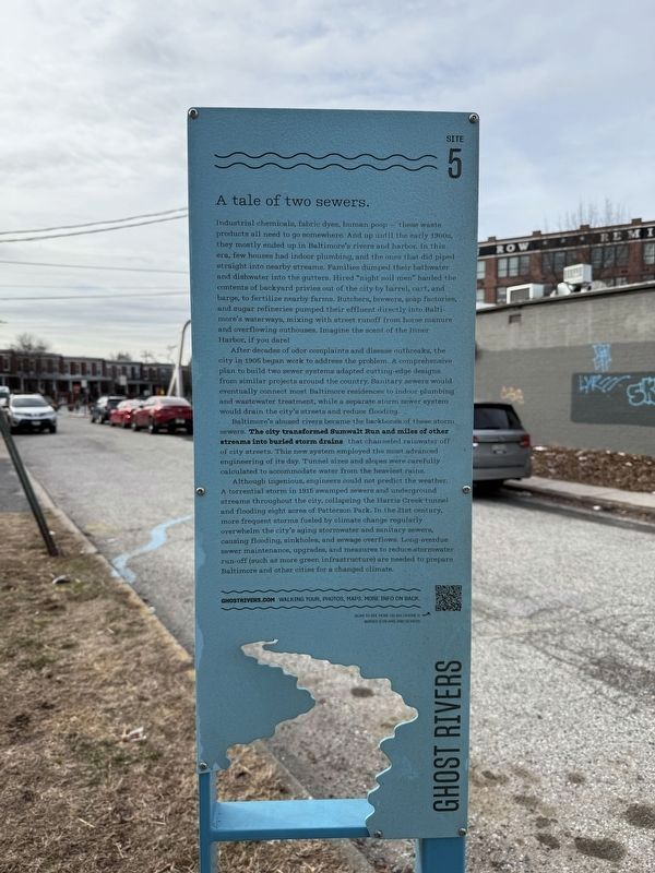
A tale of two sewers.
Industrial chemicals, fabric dyes, human poop — these waste products all need to go somewhere. And up until the early 1900s, they mostly ended up in Baltimore's rivers and harbor. In this era, few houses had indoor plumbing, and the ones that died piped straight into nearby streams. Families dumped their bathwater and dishwater into the gutters. Hired "night soil men" hauled the contents of backyard privies out of the city by barrel, Cart, and barge, to fertilize nearby farms. Butchers, brewers, soap factories, and sugar refineries pumped their effluent directly into Baltimore's waterways, mixing with street runoff from the horse manure and overflowing outhouses. Imagine the scent of the Inner Harbor, if you dare!
After decades of odor complaints and disease outbreaks, the city in 1905 began work to address the problem. A comprehensive plan to build two sewer systems adapted cutting-edge designs from similar projects around the country. Sanitary sewers would eventually connect most Baltimore residences to indoor plumbing and wastewater treatment, while a separate storm sewer system would drain
this page online
Baltimore's abused Rivers became the backbones of these storm sewers. The city transformed Sumwalt Ru and miles of other streams into buried storm drains that channeled rainwater off of city streets. This new system employed the most advanced engineering of its day. Tunnel sizes and slopes were carefully calculated to accommodate water from the heaviest rains.
Although ingenious, engineers could not predict the weather. A torrential storm in 1915 swamped sewers and underground streams throughout the city, collapsing the Harris Creek tunnel and flooding eight acres of Patterson Park. In the 21st century, more frequent storms fueled by climate change regularly overwhelm the city's aging stormwater and sanitary sewers, causing flooding, sinkholes, and sewage overflows. Long-overdue sewer maintenance, upgrades, and measures to reduce storm water run-off (such as more green infrastructure) are needed to prepare Baltimore and other cities for a changed climate.
Erected by Greater Remington Improvement Association. (Marker Number 5.)
Topics. This historical marker is listed in these
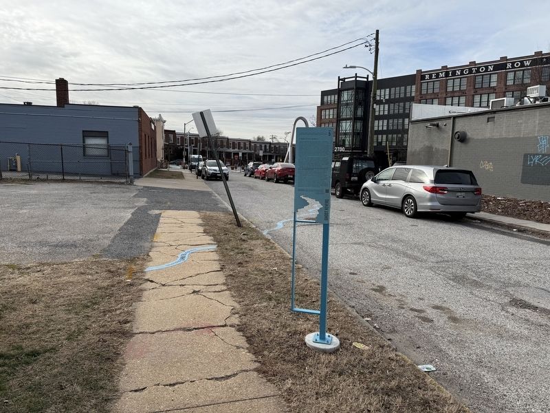
Location. 39° 19.278′ N, 76° 37.241′ W. Marker is in Baltimore, Maryland. It is in Remington. It is on Cresmont Avenue south of West 28th Street, on the left when traveling south. Touch for map. Marker is at or near this postal address: 205 W 28th St, Baltimore MD 21211, United States of America. Touch for directions.

Regionally, this marker is in Central Maryland. It is also in the American Mid-Atlantic, in the Chesapeake Bay Region, and on the Eastern Seaboard. Globally, it is in the North Atlantic Region, North America, the Western Hemisphere, the Western World, and the Anglosphere. Historically, it finds itself in what was once one of the original Thirteen Colonies and also the Antebellum South.
Other nearby markers. At least 8 other markers are within walking distance of this marker: Remington Ave (within shouting distance of this marker); 28th St (within shouting distance of this marker); Remington (within shouting distance of this marker); Howard St (about 400
Another marker is no longer nearby. Wyman Park Dell at 29th St (was approx. 0.2 miles away but has been confirmed missing).
Credits. This page was last revised on February 2, 2025. It was originally submitted on February 2, 2025, by Devry Becker Jones of Washington, District of Columbia. This page has been viewed 116 times since then and 13 times this year. Photos: 1, 2, 3. submitted on February 2, 2025, by Devry Becker Jones of Washington, District of Columbia.
