Tonasket in Okanogan County, Washington — The American West (Northwest)
McLoughlin Canyon
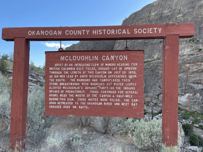
Photographed by Mark Teshera, June 6, 2024
1. McLoughlin Canyon Marker
Erected by Okanogan County Historical Society.
Topics. This historical marker is listed in these topic lists: Indigenous Peoples and Communities • Wars, US Indian. A significant historical date for this entry is July 29, 1858.
Location. 48° 38.874′ N, 119° 26.378′ W. Marker is in Tonasket, Washington, in Okanogan County. It is on McLaughlin Canyon Road, on the right when traveling south. From Highway 97 take McLaughlin Canyon Rd. and continue straight until visible on the right. Touch for map. Marker is at or near this postal address: 391 McLaughlin Canyon
this page online

Regionally, this marker is in Washington’s Okanogan Highlands. It is also in the American Mountain West and in the Lewis & Clark Corridor. Globally, it is in North America, in the Cascade Range, on the Pacific Rim, in the Western Hemisphere, in the Western World, and in the Anglosphere.
Other nearby markers. At least 2 other markers are within 11 miles of this marker, measured as the crow flies: Old Okanogan Mission (approx. 10 miles away); Riverside (approx. 10½ miles away).
Regarding McLoughlin Canyon. The only battle between whites and Indians in Okanogan County.
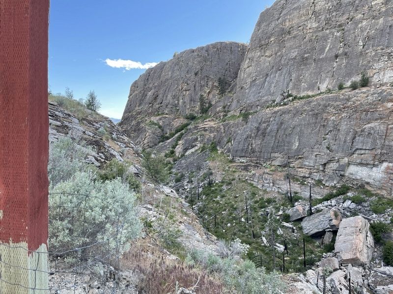
Photographed by Mark Teshera, June 6, 2024
2. McLoughlin Canyon
Credits. This page was last revised on February 7, 2025. It was originally submitted on February 4, 2025, by Mark Teshera of Oroville, Washington. This page has been viewed 347 times since then and 89 times this year. Photos: 1. submitted on February 4, 2025, by Mark Teshera of Oroville, Washington. 2. submitted on February 5, 2025, by Mark Teshera of Oroville, Washington. • James Hulse was the editor who published this page.
