Hayes in Gloucester County, Virginia — The American South (Mid-Atlantic)
Abingdon Church
Photographed by Brandon D Cross
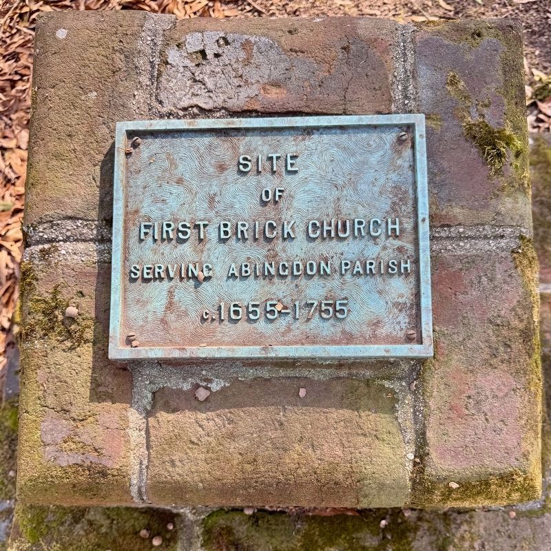
1. Abingdon Church Marker (Top)
of
First Brick Church
Serving Abingdon Parrish
c.1655-1755
of
Dr. George Upshur Carneal
of Eagle Point
by his wife Florence
1966
Erected 1966 by Florence Carneal.
Topics. This historical marker is listed in these topic lists: Cemeteries & Burial Sites • Colonial Era • Religion & Religious Structures. A significant historical year for this entry is 1655.
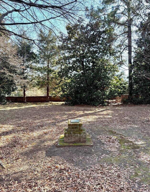
Location. 37° 19.989′ N, 76° 30.8′ W. Marker is in Hayes, Virginia, in Gloucester County. It can be reached from the intersection of George Washington Memorial Highway (U.S. 17) and Mid County Drive, on the right when traveling north. The marker is located in the cemetery south of the church. Touch for map. Marker is at or near this postal address: 4632 George Washington Memorial Hwy, Hayes VA 23072, United States of America. Touch for directions.

Regionally, this marker is on the Middle Peninsula and in the Hampton Roads Metropolitan Area. It is also in the American South, specifically in the Upper South, in the Tidewater, in the Chesapeake Bay Region, and on the Eastern Seaboard. Globally, it
this page online
Other nearby markers. At least 8 other markers are within walking distance of this marker: The Page Family (within shouting distance of this marker); These Page Family Tombs (within shouting distance of this marker); Confederate Soldiers Memorial (about 300 feet away, measured in a direct line); a different marker also named Abingdon Church (about 400 feet away); Warner Hall (about 700 feet away); Woodville Rosenwald School (approx. 0.6 miles away); Woodville School (approx. 0.6 miles away); Rosewell (approx. ¾ mile away). Touch for a list and map of all markers in Hayes.
Also see . . .
1. Abingdon Church Our History. (Submitted on February 6, 2025, by Brandon D Cross of Flagler Beach, Florida.)
2. History of Abingdon Church. (Submitted on February 6, 2025, by Brandon D Cross of Flagler Beach, Florida.)

Photographed by Brandon D Cross
2. Abingdon Church Marker (Rear)
Photographed by Brandon D Cross
3. Abingdon Church Marker

Photographed by Brandon D Cross
4. Abingdon Episcopal Church Sign
Credits. This page was last revised on February 8, 2025. It was originally submitted on February 6, 2025, by Brandon D Cross of Flagler Beach, Florida. This page has been viewed 127 times since then and 29 times this year. Photos: 1, 2, 3, 4. submitted on February 6, 2025, by Brandon D Cross of Flagler Beach, Florida. • Bernard Fisher was the editor who published this page.
