Near Fremont in Dodge County, Nebraska — The American Midwest (Upper Plains)
Old Indian Trail
December 28, 2024
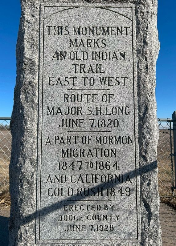
1. Old Indian Trail Marker
This monument marks an old Indian trail east to west
Route of Major S.H. Long June 7, 1820
A part of Mormon migration 1847 to 1864 and California Gold Rush 1849
Erected by Dodge County June 7, 1928
Erected 1928 by Dodge County.
Topics and series. This historical marker is listed in these topic lists: Exploration • Indigenous Peoples and Communities • Religion & Religious Structures • Roads & Vehicles. In addition, it is included in the California Trail, and the Mormon Pioneer Trail series lists. A significant historical date for this entry is June 7, 1820.
Location. 41° 29.725′ N, 96° 29.782′ W. Marker is near Fremont, Nebraska, in Dodge County. It is on U.S. 77 half a mile south of Rosedale Road, on the right when traveling north. Touch for map. Marker is at or near this postal address: 1830 US-77, Fremont NE 68025, United States of America. Touch for directions.

Regionally, this marker is in Eastern Nebraska and in Greater Omaha. It is also in the American Midwest, in the Corn Belt, and on the prairies. Globally, it is in North America, the Western Hemisphere, the Western World, and the
this page online
Other nearby markers. At least 8 other markers are within 5 miles of this marker, measured as the crow flies: Dodge County Poor Farm (approx. ¾ mile away); Mormon Pioneer Trail (approx. 4.2 miles away); Hotel Pathfinder (approx. 4.2 miles away); Fremont's First City-Owned Parking Lot (approx. 4.3 miles away); Fremont, Nebraska (approx. 4.3 miles away); Dodge County Veterans Memorial (approx. 4.3 miles away); Union Depot (approx. 4.3 miles away); The Great Platte River Route West (approx. 4.8 miles away). Touch for a list and map of all markers in Fremont.
Another marker is no longer nearby. Overland Emigrant Trails (was approx. 4.1 miles away but has been permanently removed).
December 28, 2024
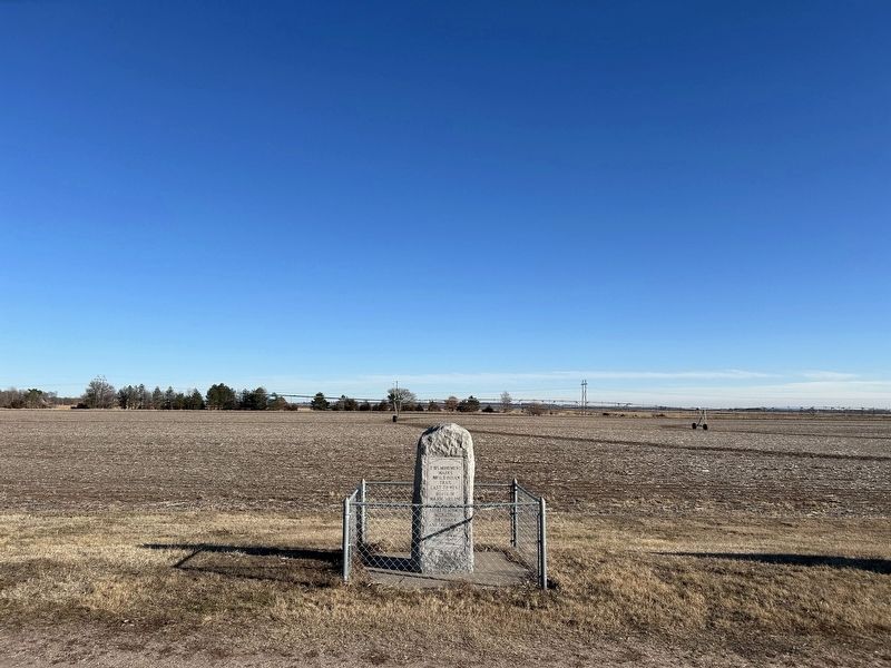
2. Old Indian Trail Monument

December 28, 2024
3. Old Indian Trail Monument, from the south
December 28, 2024
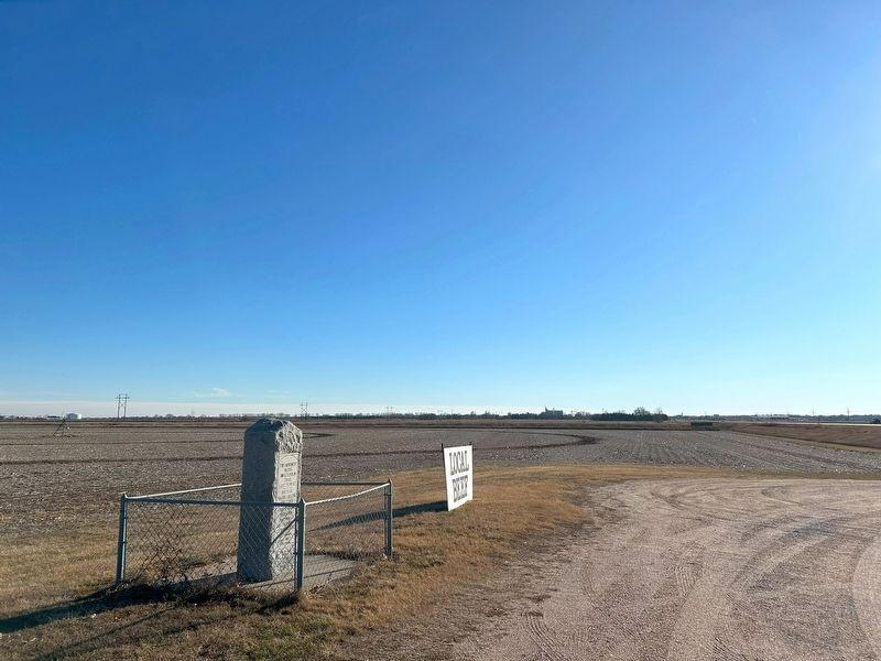
4. Old Indian Trail Monument, from the north
Credits. This page was last revised on July 13, 2025. It was originally submitted on February 6, 2025. This page has been viewed 396 times since then and 71 times this year. Photos: 1, 2, 3, 4. submitted on February 6, 2025.
