
Mount Pleasant in Charleston County, South Carolina — The American South (South Atlantic)
Defending the Inland Waterways
Oyster Point

Photographed by Thomas Moore, February 8, 2025
1. Defending the Inland Waterways Marker
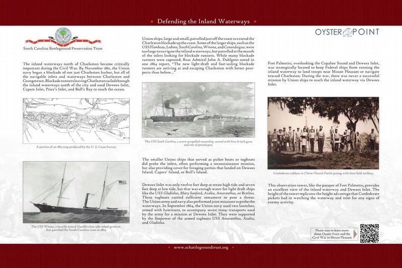
USS Flambeau, Lodona, South Carolina, Winona, and Canandaigua, were too large to navigate the inland waterways, but patrolled at the mouth of the inlets looking for blockade runners. While many blockade runners were captured, Rear Admiral John A. Dahlgren noted in one 1864 report, “The new light-draft and fast-sailing blockade runners are arriving and escaping Charleston with better prospects than before...”
The smaller Union ships that served as picket boats or tugboats did prober the inlets, often performing a reconnaissance mission, but also providing cover for foraging parties that landed on Dewees Island, Caper's Island, or Bull's Island.
Dewees Inlet was only twelve feet deep at mean high tide and seven feet deep at low tide, but that was enough water for light draft ships like the USS Gladiolus, Mary Sanford, Azalea, Amaranthus, or Restless. These tugboats carried sufficient armament to pose a threat. The Union army and navy also performed joint missions to probe the waterways. In September 1864, the Union navy used two launches, armed with howitzers, to accompany seven troop transports used by the army for a mission at Dewees Inlet. They were supported by the firepower of the armed tugboats USS Amaranthus, Azalea, and Gladiolus.
Fort Palmetto, overlooking the Copahee Sound and Dewees Inlet, was strategically located to keep Federal ships from running the inland waterway to land troops near Mount Pleasant or navigate toward Charleston. During the war, there was never a successful mission by Union ships to reach the inland waterway via Dewees Inlet.
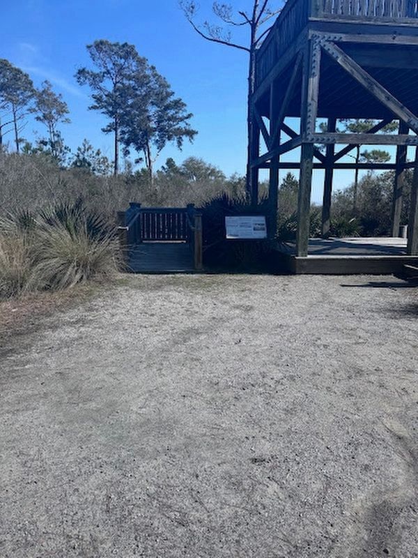
This observation tower, like the parapet of Fort Palmetto, provides an excellent view of the inland waterway and Dewees Inlet. The height of the tower replicated the height advantage that Confederate pickets had in watching the waterway and inlet for any signs of enemy activity.
(captions)
A portion of an 1863 map produced by the U.S. Coast Survey
The USS Winona, a heavily armed Unadilla-class side-wheel gunboat, that patrolled the South Carolina coast in 1864.
The USS South Carolina, a screw-propelled steamship, armed with four 8-inch guns and one 32-pound gun.
Confederate soldiers in Christ Church Parish posing with their field artillery.
Erected by South
this page online
Topics. This historical marker is listed in these topic lists: War, US Civil • Waterways & Vessels. A significant historical month for this entry is November 1861.
Location. 32° 49.343′ N, 79° 47.902′ W. Marker is in Mount Pleasant, South Carolina, in Charleston County. It is on North Palmetto Fort Drive south of McManus Road, on the right when traveling north. The marker and observation tower are located 1,000 yards east of the Fort Palmetto Park parking lot. Touch for map. Marker is at or near this postal address: 2213 N Palmetto Fort Dr, Mount Pleasant SC 29466, United States of America. Touch for directions.

Regionally, this marker is in the Lowcountry. It is also in the American South, specifically in the Deep South, and on the Eastern Seaboard. Globally, it is in the North Atlantic Region, North America, the Western Hemisphere, the Western World, and the Anglosphere. Historically, it finds itself in what was once the territory of the Mississippian Culture, one of the original Thirteen Colonies, one of the Confederate States of America, and the Antebellum South.
Other nearby markers. At
Photographed by Thomas Moore, February 8, 2025
2. Marker Beside the Observation Tower
Another marker is no longer nearby. Cook's Old Field Cemetery / Copahee Plantation and Hamlin Beach (was approx. 1.3 miles away but has been confirmed missing).
Also see . . . South Carolina Battleground Preservation Trust. (Submitted on February 9, 2025.)
3. Defending the Inland Waterways Marker
South Carolina Battleground Preservation Trust
Credits. This page was last revised on February 21, 2025. It was originally submitted on February 8, 2025, by Thomas Moore of Charleston, South Carolina. This page has been viewed 191 times since then and 17 times this year. Photos: 1, 2. submitted on February 8, 2025, by Thomas Moore of Charleston, South Carolina. 3. submitted on February 9, 2025. • Bernard Fisher was the editor who published this page.
