Post Falls in Kootenai County, Idaho — The American West (Mountains)
Lieutenant John Mullan
Photographed by Trevor L Whited, October 16, 2021
1. Lieutenant John Mullan Marker
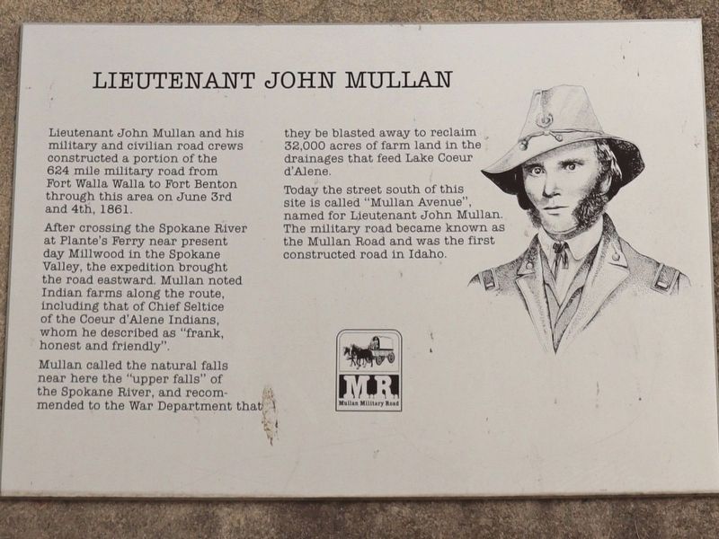
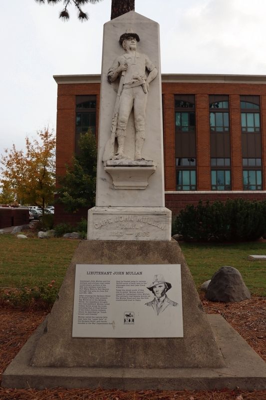
After crossing the Spokane River at Plante's Ferry near present day Millwood in the Spokane Valley, the expedition brought the road eastward. Mullan noted Indian farms along the route, including that of Chief Seltice of the Coeur d'Alene Indians, whom he described as "frank, honest and friendly".
Mullan called the natural falls near here the "upper falls" of the Spokane River, and recommended to the War Department that they be blasted away to reclaim 32,000 acres of farm land in the drainages that feed Lake Coeur d'Alene.
Today the street south of this site is called "Mullan Avenue", named for Lieutenant John Mullan. The military road became known as the Mullan Road and was the first constructed road in Idaho.
Erected by Mullan Military Road.
Topics. This historical marker is listed in these topic lists: Indigenous Peoples and Communities • Roads & Vehicles. A significant historical date for this entry is June 3, 1861.
Location. 47° 42.698′ N,
this page online

Regionally, this marker is in North Idaho — Idaho’s Panhandle and in Greater Spokane. It is also in the American Mountain West and specifically in the Pacific Northwest. Globally, it is in North America, the Western Hemisphere, the Western World, and the Anglosphere.
Other nearby markers. At least 8 other markers are within 9 miles of this marker, measured as the crow flies: Treaty Rock (approx. ¼ mile away); Purcell Trench (approx. 4.4 miles away); Old County Jail (approx. 7.3 miles away); Fort Sherman Powder Magazine (approx. 7.4 miles away); "Big Hank Cabin" (approx. 7.4 miles away); Fort Sherman Chapel (approx. 7½ miles away); Fort Sherman (approx. 7.7 miles away); Tubbs Hill (approx. 8.2 miles away).
Photographed by Trevor L Whited, October 16, 2021
2. Lieutenant John Mullan Marker
Photographed by Trevor L Whited, October 16, 2021
3. Lieutenant John Mullan Marker
Photographed by Trevor L Whited, October 16, 2021
4. Lieutenant John Mullan Marker
Photographed by Trevor L Whited, October 16, 2021
5. Lieutenant John Mullan Marker
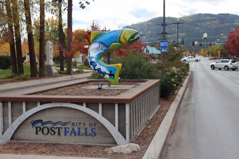
Looking South down North Spokane Street. You can see the memorial just left of the fish.
Credits. This page was last revised on February 9, 2025. It was originally submitted on February 8, 2025, by Trevor L Whited of Kokomo, Indiana. This page has been viewed 176 times since then and 30 times this year. Photos: 1, 2, 3, 4, 5. submitted on February 8, 2025, by Trevor L Whited of Kokomo, Indiana. • Andrew Ruppenstein was the editor who published this page.
