Long Bridge Park in Arlington in Arlington County, Virginia — The American South (Mid-Atlantic)
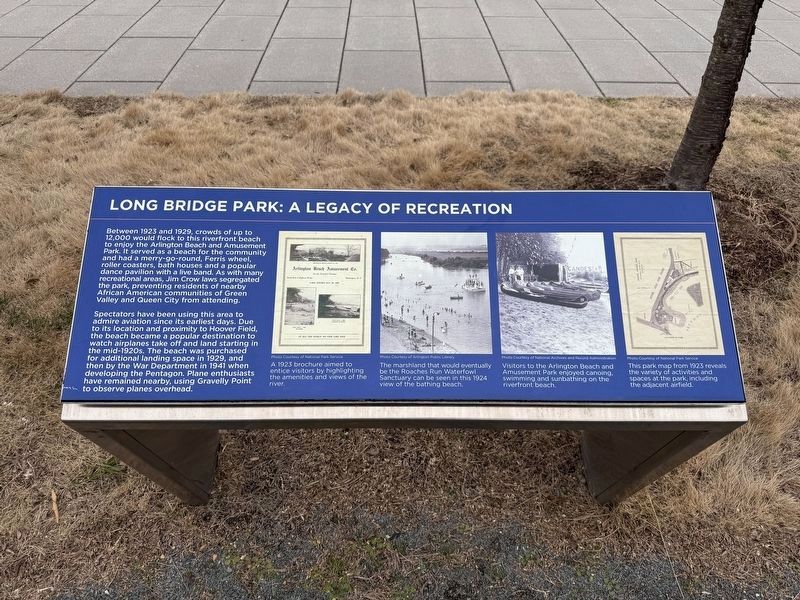
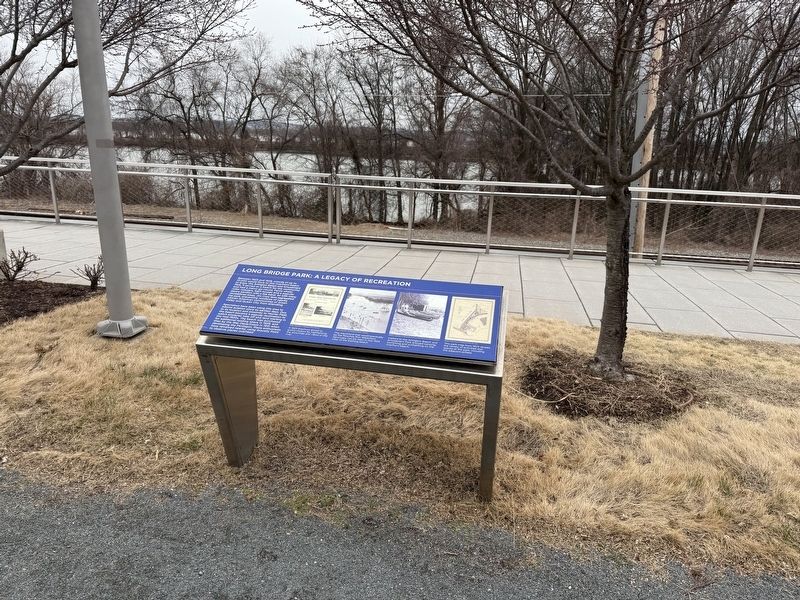
Long Bridge Park: A Legacy of Recreation
Photographed by Devry Becker Jones (CC0), February 8, 2025
1. Long Bridge Park: A Legacy of Recreation Marker
Between 1923 and 1929, crowds of up to 12,000 would flock to this riverfront beach to enjoy the Arlington Beach and Amusement Park. It served as a beach for the community and had a merry-go-round, Ferris wheel, roller coasters, bath houses and a popular dance pavilion with a live band. As with many recreational areas, Jim Crow laws segregated the Park, preventing residents of nearby African American communities of Green Valley and Queen City from attending.
Spectators have been using this area to admire aviation since its earliest days. Due to its location and proximity to Hoover Field, the beach became a popular destination to watch airplanes take off and land starting in the mid-1920s. The beach was purchased for additional landing pace in 1929, and then by the War Department in 1941 when developing the Pentagon. Plane enthusiasts have remained nearby, using Gravelly Point to observe planes overhead.
[Captions:]
A 1923 brochure aimed to entice visitors by highlighting the amenities and views of the river.
The marshland that would eventually be the Roaches Run Waterfowl Sanctuary can be seen in this 1924 view of the bathing beach.
Visitors to the Arlington Beach and Amusement Park enjoyed canoeing, swimming and sunbathing on the riverfront beach.
This park map from 1923 reveals the variety of activities and spaces at the park, including the adjacent airfield.
Topics.
this page online
Location. 38° 52.068′ N, 77° 2.689′ W. Marker is in Arlington, Virginia, in Arlington County. It is in Long Bridge Park. It can be reached from Long Bridge Drive south of Boundary Drive, on the left when traveling south. Touch for map. Marker is at or near this postal address: 385 Long Bridge Drive, Arlington VA 22202, United States of America. Touch for directions.

Regionally, this marker is in the Washington Metropolitan Area and in Northern Virginia. It is also in the American South, specifically in the Upper South, in the Mid-Atlantic, and on the Eastern Seaboard. Globally, it is in the North Atlantic Region, North America, the Western Hemisphere, the Western World, and the Anglosphere. Historically, it finds itself in what was once the territory of the Mississippian Culture, one of the original Thirteen Colonies, one of the Confederate States of America, and the Antebellum South.
Other nearby markers. At least 8 other markers are within walking
Photographed by Devry Becker Jones (CC0), February 8, 2025
2. Long Bridge Park: A Legacy of Recreation Marker
Other markers no longer nearby. Long Bridge Park: A Community Space (was here, next to this marker but has been replaced with another marker now near it); a different marker also named From Brownfield to Playing Fields (was about 500 feet away but has been replaced with another marker now near it).
Credits. This page was last revised on February 9, 2025. It was originally submitted on February 9, 2025, by Devry Becker Jones of Washington, District of Columbia. This page has been viewed 114 times since then and 13 times this year. Photos: 1, 2. submitted on February 9, 2025, by Devry Becker Jones of Washington, District of Columbia.
