Near Nickelsville in Scott County, Virginia — The American South (Mid-Atlantic)
Historic Bush Mill - The Building

Photographed by Mark Parker, June 27, 2020
1. Historic Bush Mill Marker
• Located on the Amos Branch to use mountain stream waterpower.
• Foundation and piers are made of dry-laid limestone from Copper Ridge and measures 39'9" x 30'4".
• The framing was built of hand-hewn oak beams and the original siding was yellow poplar.
• The exterior weatherboards were replaced in 1980's with cedar siding.
• Metal roof was replaced in 2012.
• Original building destroyed by fire in 1895.
• Corn and wheat were milled for farms located generally within a ½ day trip by horse and wagon.
• Ground cornmeal and flour was used to bake bread and exchange for other foodstuffs and daily needs.
• Miller and family lived in the house next to the mill and provided meals and overnight accommodations to farmers who brought their corn and wheat for milling.
Topics. This historical marker is listed in these topic lists: Agriculture • Industry & Commerce • Waterways & Vessels. A significant historical year for this entry is 1895.
Location. 36° 45.355′ N, 82° 26.109′ W. Marker is near Nickelsville, Virginia, in Scott County. It can be reached from Twin Springs Road (State Road 680) west of Bush Mill Road, on the right when traveling west. Touch for map. Marker is at or near this postal address: 1154 State Rte 680, Nickelsville VA 24271, United States of America. Touch for directions.

Regionally, this marker is in the Tri-Cities Area and in Southwest Virginia. It is also in the American South, specifically in the Upper South, in Appalachia, and specifically in Southern Appalachia. Globally, it is in North America, the Western Hemisphere, the Western World, and the Anglosphere. Historically, it finds itself in what was once the original Cherokee Nation, the territory of the Mississippian Culture, one of the original Thirteen Colonies, one of the Confederate
this page online
Other nearby markers. At least 8 other markers are within 7 miles of this marker, measured as the crow flies: Kilgore Fort House (approx. 1.4 miles away); Houston’s Fort (approx. 4½ miles away); Patrick Porter (approx. 5.3 miles away); Patrick Hagan and Dungannon (approx. 5.3 miles away); Dungannon Depot (approx. 5.3 miles away); Flanary Archaeological Site (approx. 5.3 miles away); Early Settlers in Russell County (approx. 5½ miles away); At the Park (approx. 6.2 miles away).

Photographed by Mark Parker, June 27, 2020
2. Historic Bush Mill
Photographed by Mark Parker, June 27, 2020
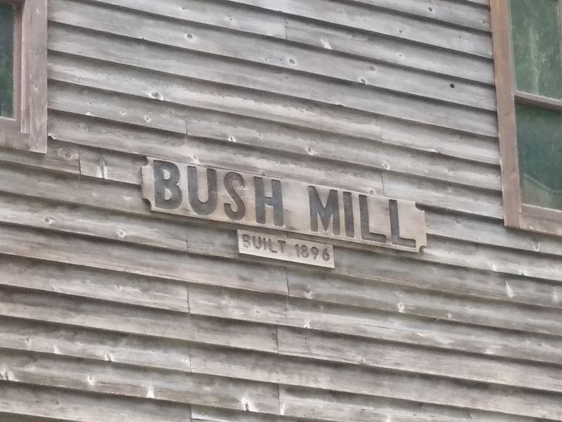
3. Historic Bush Mill built 1896
Credits. This page was last revised on February 13, 2025. It was originally submitted on February 12, 2025, by Mark Parker of Hickory, North Carolina. This page has been viewed 183 times since then and 36 times this year. Photos: 1, 2, 3. submitted on February 12, 2025, by Mark Parker of Hickory, North Carolina. • Bernard Fisher was the editor who published this page.
