Alexis in Gaston County, North Carolina — The American South (South Atlantic)
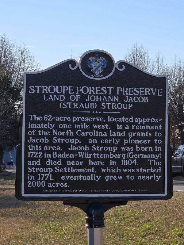
Stroupe Forest Preserve
Land of Johann Jacob (Straub) Stroup
Photographed by Mark Parker, February 21, 2025
1. Stroupe Forest Preserve Marker
Erected 2019 by Stroupe Descendant to the Catawba Lands Conservancy.
Topics. This historical marker is listed in these topic lists: Colonial Era • Immigration • Settlements & Settlers. A significant historical year for this entry is 1771.
Location. 35° 23.96′ N, 81° 7.301′ W. Marker is in Alexis, North Carolina, in Gaston County. It is at the intersection of Alexis High Shoals Road (State Road 1819) and Alexis Church Road, on the left when traveling west on Alexis High Shoals Road. Touch for map. Marker is at or near this postal address: 304 Alexis High Shoals Rd, Dallas NC 28034, United States of America. Touch for directions.

Regionally, this marker is in the Piedmont and in Greater Charlotte. It is also in the American South and specifically in the Upper South. Globally,
this page online
Other nearby markers. At least 8 other markers are within 5 miles of this marker, measured as the crow flies: Magnolia Grove (approx. 3.3 miles away); Iron Works (approx. 3.6 miles away); Andrew Carpenter House (approx. 4 miles away); Peter Forney (approx. 4.4 miles away); John Fulenwider (approx. 4½ miles away); Stonewall Jackson (approx. 4.7 miles away); Cottage Home (approx. 4.7 miles away); Machpelah Cemetery (approx. 5 miles away).

Photographed by Mark Parker, February 21, 2025
2. Stroupe Forest Preserve Marker (Alexis High Shoals Rd & Alexis Church Rd)
Photographed by Mark Parker, February 21, 2025
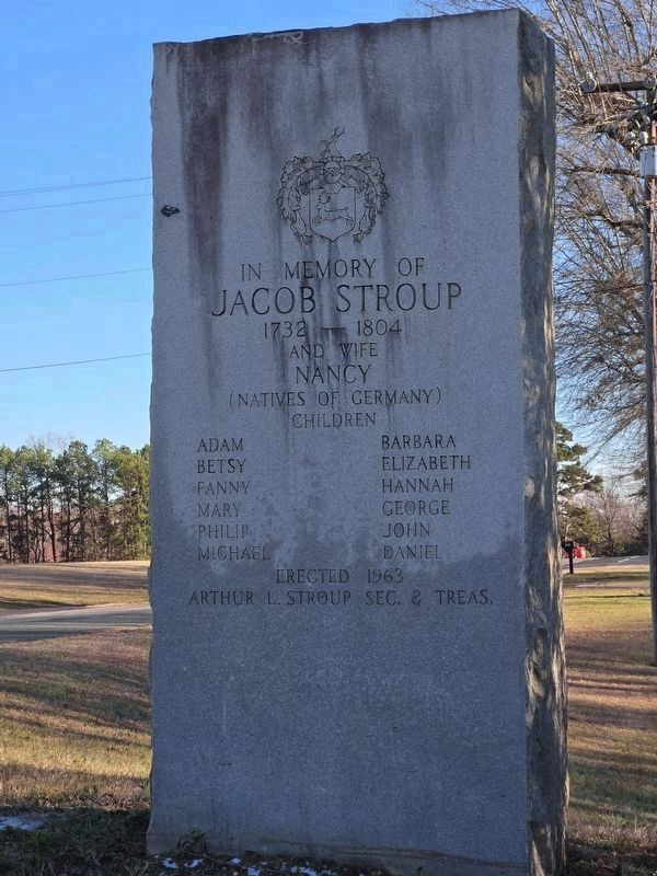
3. Nearby Stroupe Family Memorial
1732-1804
and wife Nancy (natives of Germany)
Children
Adam • Barbara • Betsy • Elizabeth • Fanny • Hannah • Mary • George • Philip • John • Michael • Daniel
Erected 1963
Arthur L. Stroup Sec. & Treas.

Photographed by Mark Parker, February 21, 2025
4. Nearby burial plots of Jacob and Adam Stroup
Pvt. NC Militia
Revolutionary War
1746-1835
Jacob Stroup
Continental Line
Revolutionary War
1724-1804
Photographed by Mark Parker, February 21, 2025
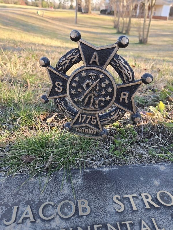
5. Sons of the American Revolution marker at Jacob Stroup burial site
Credits. This page was last revised on February 22, 2025. It was originally submitted on February 21, 2025, by Mark Parker of Hickory, North Carolina. This page has been viewed 445 times since then and 174 times this year. Photos: 1, 2, 3, 4, 5. submitted on February 21, 2025, by Mark Parker of Hickory, North Carolina. • Bernard Fisher was the editor who published this page.
