Near Winchester in Frederick County, Virginia — The American South (Mid-Atlantic)
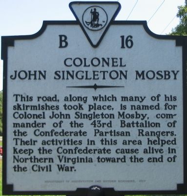
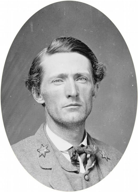
Colonel John Singleton Mosby
Erected 1987 by Department of Conservation and Historic Resources. (Marker Number B-16.)
Topics. This historical marker is listed in this topic list: War, US Civil.
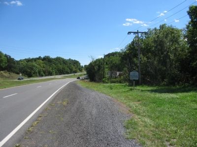
Location. 39° 8.155′ N, 78° 7.313′ W. Marker is near Winchester, Virginia, in Frederick County. Marker is at the intersection of Millwood Pike (U.S. 17/50) and Carpers Valley Road (County Route 723), on the right when traveling east on Millwood Pike. Touch for map. Marker is in this post office area: Winchester VA 22603, United States of America. Touch for directions.
Other nearby markers. At least 10 other markers are within 4 miles of this marker, measured as the crow flies. The Battle Begins: "I had murder in my heart" (approx. 2.3 miles away); Second Winchester "Bringing fire and tempests on the world" (approx. 2.3 miles away); General Daniel Morgan / Winchester (approx. 2˝ miles away); Camp Russell (approx. 2.8 miles away); Clark County / Frederick County (approx. 2.8 miles away); Abram’s Delight (approx. 3.1 miles away); The Hollingsworth Family Settlement (approx. 3.1 miles away); a different marker also named Abram’s Delight (approx. 3.1 miles away); Spottswood Poles (approx. 3.2 miles away); Shawnee Springs Hospital (approx. 3.3 miles away). Touch for a list and map of all markers in Winchester.
Regarding Colonel John Singleton Mosby. This marker is a “bookend” of sorts to a similar one standing in Chantilly, Fairfax County to the east on US. Highway 50, numbered B 12 (see related markers). Between the two, Col. Mosby’s forces operated extensively.
Related markers. Click here for a list of markers that are related to this marker. To better understand the relationship, study each marker in the order shown.
Also see . . . Mosby Heritage Area Association. (Submitted on September 23, 2007, by Craig Swain of Leesburg, Virginia.)
Credits. This page was last revised on February 26, 2020. It was originally submitted on September 23, 2007, by Craig Swain of Leesburg, Virginia. This page has been viewed 1,845 times since then and 57 times this year. Photos: 1, 2. submitted on September 23, 2007, by Craig Swain of Leesburg, Virginia. 3. submitted on September 30, 2019, by Allen C. Browne of Silver Spring, Maryland. • J. J. Prats was the editor who published this page.


