Moorhead in Clay County, Minnesota — The American Midwest (Upper Plains)
M. B. Johnson Park
Photographed by Cosmos Mariner, June 27, 2024
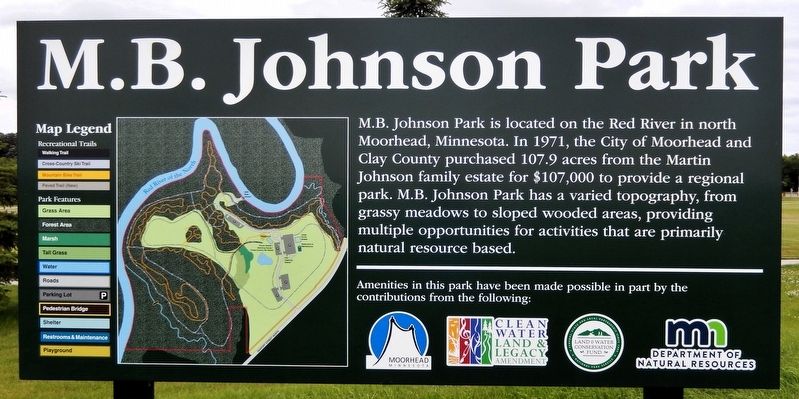
1. M. B. Johnson Park Marker
M.B. Johnson Park is located on the Red River in north Moorhead, Minnesota. In 1971, the City of Moorhead and Clay County purchased 107.9 acres from the Martin Johnson family estate for $107,000 to provide a regional park. M.B. Johnson Park has a varied topography, from grassy meadows to sloped wooded areas, providing multiple opportunities for activities that are primarily natural resource based.
Erected by Moorhead City, Minnesota.
Topics. This historical marker is listed in these topic lists: Parks & Recreational Areas • Waterways & Vessels. A significant historical year for this entry is 1971.
Location. 46° 54.627′ N, 96° 45.295′ W. Marker is in Moorhead, Minnesota, in Clay County. It is on 36th Avenue North just west of 11th Street North (County Road 96), on the right when traveling west. The marker is located at the entrance to M. B. Johnson Park. Touch for map. Marker is at or near this postal address: 3601 11th Street North, Moorhead MN 56560, United States of America. Touch for directions.

Regionally, this marker is in the American Midwest and in the Corn Belt. Globally, it is in North America, the
this page online
Other nearby markers. At least 8 other markers are within 3 miles of this marker, measured as the crow flies: Local History (about 400 feet away, measured in a direct line); Red River of the North (approx. 0.2 miles away); In Honor of Those Who Have Served in Defense of Our Country (approx. 1.4 miles away); National Guard and Armory (approx. 1½ miles away); Homestead Park (approx. 1.8 miles away); John Bergquist (approx. 1.8 miles away); The Bergquist Cabin (approx. 1.8 miles away); Churchill Residence Hall (approx. 2.4 miles away in North Dakota). Touch for a list and map of all markers in Moorhead.
Related markers. Click here for a list of markers that are related to this marker.
Photographed by Cosmos Mariner, June 27, 2024
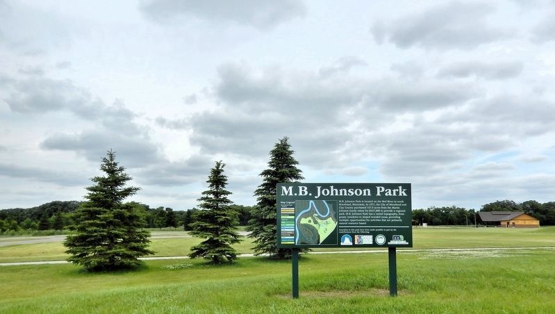
2. M. B. Johnson Park Marker
Looking north across the park; the Red River is just beyond the line of trees in the distant background.
Credits. This page was last revised on February 26, 2025. It was originally submitted on February 25, 2025, by Cosmos Mariner of Cape Canaveral, Florida. This page has been viewed 166 times since then and 39 times this year. Photos: 1, 2. submitted on February 26, 2025, by Cosmos Mariner of Cape Canaveral, Florida.
