
Downtown in Boise in Ada County, Idaho — The American West (Mountains)
Snake River Birds of Prey Area
Cecil D. Andrus: A Legacy of Conservation
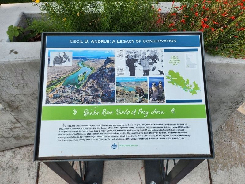
Photographed by Douglass Halvorsen, June 27, 2023
1. Snake River Birds of Prey Area Marker
Erected by City of Boise Parks and Recreation.
Topics. This historical marker is listed in these topic lists: Charity & Public Work • Environment • Parks & Recreational Areas. A significant historical year for this entry is 1968.
Location. 43° 36.995′ N, 116° 12.019′ W. Marker is in Boise, Idaho, in Ada County. It is in Downtown.
this page online

Regionally, this marker is on Idaho’s Snake River Plain. It is also in the American Mountain West. Globally, it is in North America, the Western Hemisphere, the Western World, and the Anglosphere.
Other nearby markers. At least 8 other markers are within walking distance of this marker: Hells Canyon (here, next to this marker); Central Idaho Wilderness Act (here, next to this marker); Sawtooth National Recreation Area (here, next to this marker); Lumberjack to Statesman (here, next to this marker); Abraham Lincoln and Idaho (within shouting distance of this marker); Operation Desert Storm Memorial (within shouting distance of this marker); Frank Steunenberg (within shouting distance of this marker); Idaho's Liberty Bell Replica (about 300 feet away, measured in a direct line). Touch for a list and map of all markers in Boise.
Also see . . . Cecil Andrus Dies At 85, Leaving A Legacy That Goes Far Beyond Idaho.

Photographed by Douglass Halvorsen, June 27, 2023
2. Cecil D. Andrus: A Legacy of Conservation Marker
During a 2011 interview with Idaho Public Television, Andrus said that his proudest accomplishment was steering the preservation of more than 100 million acres in Alaska.(Submitted on February 26, 2025, by Douglass Halvorsen of Klamath Falls, Oregon.)

Photographed by Douglass Halvorsen, June 27, 2023
3. Cecil D. Andrus Park
View of the state capitol from the Cecil D. Andrus markers location.
Credits. This page was last revised on March 3, 2025. It was originally submitted on February 25, 2025, by Douglass Halvorsen of Klamath Falls, Oregon. This page has been viewed 119 times since then and 18 times this year. Photos: 1. submitted on March 3, 2025, by Douglass Halvorsen of Klamath Falls, Oregon. 2, 3. submitted on February 25, 2025, by Douglass Halvorsen of Klamath Falls, Oregon. • J. Makali Bruton was the editor who published this page.
