Ahoskie in Hertford County, North Carolina — The American South (South Atlantic)
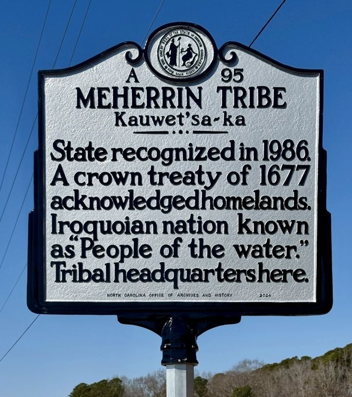
Meherrin Tribe
Kauwet’sa~ka
Photographed by Brandon D Cross
1. Merherrin Tribe Marker
Erected 2024 by North Carolina Office of Archives and History. (Marker Number A-95.)
Topics and series. This historical marker is listed in these topic lists: Indigenous Peoples and Communities • Notable Events. In addition, it is included in the North Carolina Division of Archives and History series list. A significant historical date for this entry is May 28, 1677.
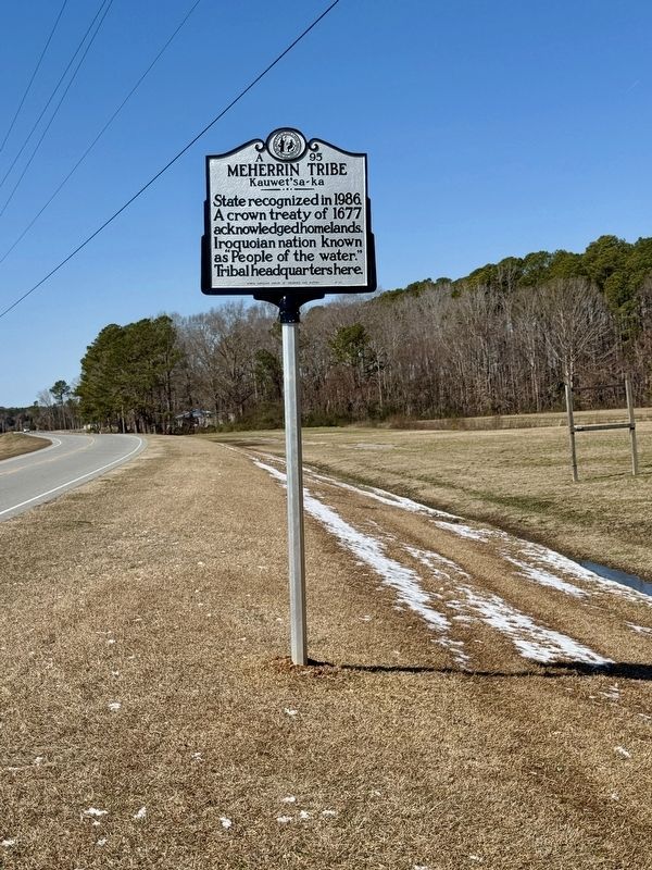
Location. 36° 22.807′ N, 77° 2.109′ W. Marker is in Ahoskie, North Carolina, in Hertford County. It is on NC-11 (U.S. 11) 0.3 miles east of Lewis Road, on the right when traveling west. Touch for map. Marker is at or near this postal address: 852 NC-11, Ahoskie NC 27910, United States of America. Touch for directions.

Regionally, this marker is in North Carolina’s Coastal Plain. It is also in the American South, specifically in the Upper South, in the Tidewater, and on the Eastern Seaboard. Globally, it is in the North Atlantic Region, North America, the Western Hemisphere, the Western World, and
this page online
Other nearby markers. At least 8 other markers are within 6 miles of this marker, measured as the crow flies: Potecasi Creek (approx. 2.6 miles away); Lemuel W. Boone (approx. 4.4 miles away); Meherrin Town (approx. 4½ miles away); African American Education (approx. 4.6 miles away); Ruffin Brothers Grocery (approx. 5.2 miles away); Chowan Academy (approx. 5.4 miles away); Murfrees Landing (approx. 5.4 miles away); Lafayette (approx. 5.4 miles away).
Also see . . .
1. Historic Highway Marker Installation- Meherrin Tribe. (Submitted on February 27, 2025, by Brandon D Cross of Flagler Beach, Florida.)
2. Meherrin Indian Tribe to be Featured on N.C. Highway Historical Marker. (Submitted on February 27, 2025, by Brandon D Cross of Flagler Beach, Florida.)
3. Treaty of 1677 (Wikipedia). (Submitted on February 27, 2025.)
Photographed by Brandon D Cross
2. Merherrin Tribe Marker
Credits. This page was last revised on December 27, 2025. It was originally submitted on February 27, 2025, by Brandon D Cross of Flagler Beach, Florida. This page has been viewed 174 times since then and 17 times this year. Photos: 1, 2. submitted on February 27, 2025, by Brandon D Cross of Flagler Beach, Florida. • Andrew Ruppenstein was the editor who published this page.
