Batavia in Genesee County, New York — The American Northeast (Mid-Atlantic)
Batavia Peace Garden
Photographed by Steve Stoessel, March 3, 2025
1. Batavia Peace Garden Marker
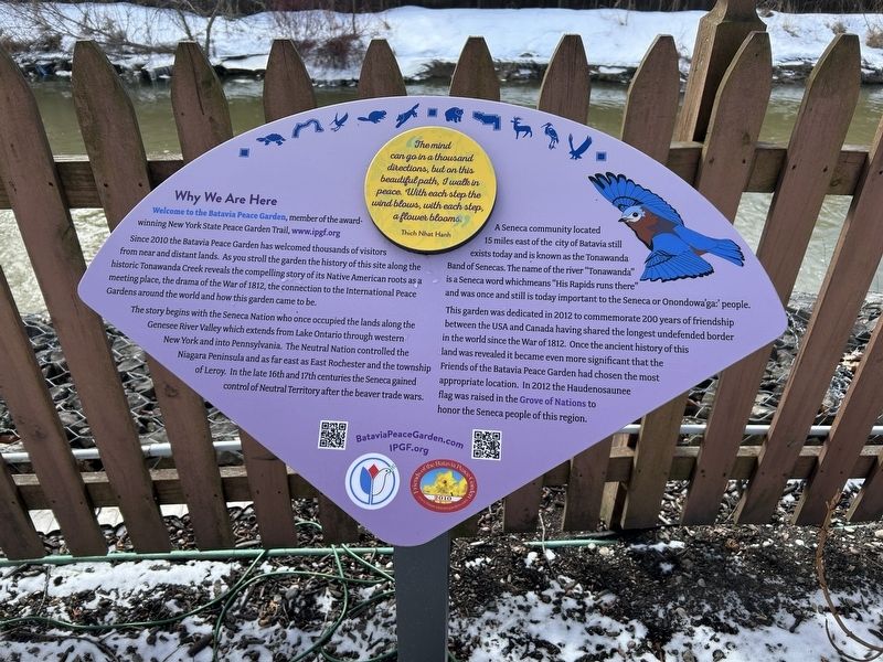
The mind can go in a thousand directions, but on this beautiful path, I walk in peace. With each step the wind blows, with each step, a flower blooms. - Thich Nhat Hanh
Why We Are Here
Welcome to the Batavia Peace Garden, member of the award-winning New York State Peace Garden Trail, www.ipgf.org. Since 2010 the Batavia Peace Garden has welcomed thousands of visitors from near and distant lands. As you stroll the garden the history of this site along the historic Tonawanda Creek reveals the compelling story of its Native American roots as a meeting place, the drama of the War of 1812, the connection to the International Peace Gardens around the world and how this garden came to be.
The story begins with the Seneca Nation who once occupied the lands along the Genesee River Valley which extends from Lake Ontario through western New York and into Pennsylvania. The Neutral Nation controlled the Niagara Peninsula and as far east as East Rochester and the township of Leroy. In the late 16th and 17th centuries the Seneca gained control of Neutral Territory after the beaver trade wars.
A Seneca community located 15
this page online
This garden was dedicated in 2012 to commemorate 200 years of friendship between the USA and Canada having shared the longest undefended border in the world since the War of 1812. Once the ancient history of this land was revealed it became even more significant that the Friends of the Batavia Peace Garden had chosen the most appropriate location. In 2012 the Haudenosaunee flag was raised in the Grove of Nations to honor the Seneca people of this region.
Topics. This historical marker is listed in these topic lists: Indigenous Peoples and Communities • Parks & Recreational Areas • Peace. A significant historical year for this entry is 2010.
Location. 42° 59.944′ N, 78° 11.423′ W. Marker is in Batavia, New York, in Genesee County. It is at the intersection of West Main Street (New York State Route 5) and Thomas Avenue, on the left when traveling west on West Main
Photographed by Steve Stoessel, March 3, 2025
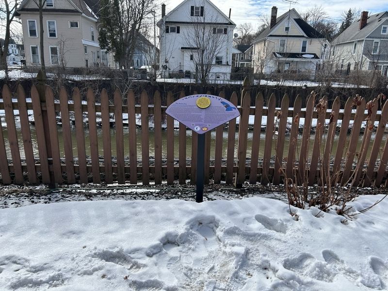
2. Batavia Peace Garden Marker

Regionally, this marker is in Upstate New York, specifically in Western New York, in the Finger Lakes, and in the Rochester Metropolitan Area. It is also in the American Northeast and in the Mid-Atlantic. Globally, it is in North America, the Western Hemisphere, the Western World, and the Anglosphere. Historically, it finds itself in what was once the Haudenosaunee (Iroquois) Confederacy, New Netherland, and one of the original Thirteen Colonies.
Other nearby markers. At least 8 other markers are within walking distance of this marker: Paolo Busti Monument (here, next to this marker); War of 1812 (here, next to this marker); Batavia Peace Garden Artwork & Monuments (a few steps from this marker); Gabriel DeFabbio (a few steps from this marker); Batavia (within shouting distance of this marker); Capt. Charles F. Rand (within shouting distance of this marker); The Grove of Nations / The Millstone (within shouting distance of this marker); a different marker also named Batavia Peace Garden
Photographed by Steve Stoessel, March 3, 2025
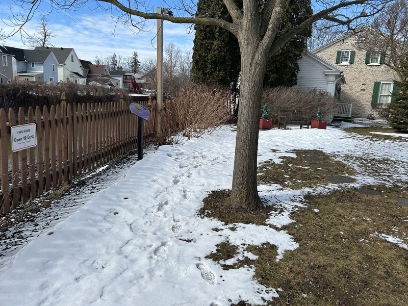
3. Batavia Peace Garden Marker
Credits. This page was last revised on March 3, 2025. It was originally submitted on March 3, 2025, by Steve Stoessel of Niskayuna, New York. This page has been viewed 164 times since then and 30 times this year. Photos: 1, 2, 3. submitted on March 3, 2025, by Steve Stoessel of Niskayuna, New York.
