
Stratton in Windham County, Vermont — The American Northeast (New England)
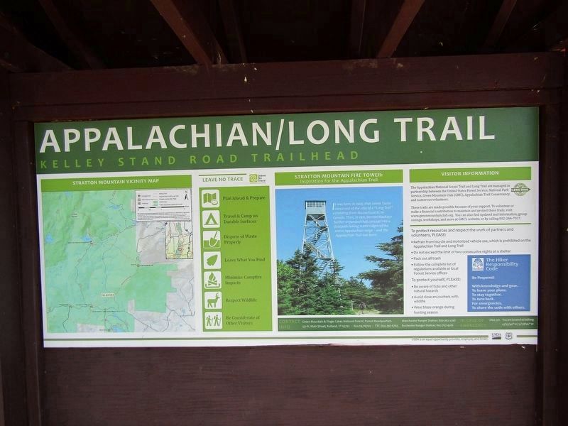
Stratton Mountain Fire Tower
Inspiration for the Appalachian Trail
Photographed by Conrad Ward, October 12, 2024
1. Stratton Mountain Fire Tower Marker
It was here, in 1909, that James Taylor conceived of the idea of a "Long Trail" extending from Massachusetts to Canada. Then, in 1921, Benton MacKaye further expanded that concept into a footpath linking scenic ridges of the entire Appalachian range — and the Appalachian Trail was born.
Erected by United States Forest Service.
Topics. This historical marker is listed in these topic lists: Parks & Recreational Areas • Roads & Vehicles. A significant historical year for this entry is 1909.
Location. 43° 3.67′ N, 72° 58.051′ W. Marker is in Stratton, Vermont, in Windham County. It is on Stratton Arlington Road, on the right when traveling west. The marker is at the Stratton Mountain trailhead. Touch for map. Marker is in this post office area: West Wardsboro VT 05360, United States of America. Touch for directions.

Regionally, this marker is in Vermont’s Connecticut River Valley, in the Green Mountains, and in Southern Vermont. It is also in the American Northeast and in New England. Globally, it is in North America, the Western Hemisphere, the Western World, and the Anglosphere. Historically, it finds
this page online
Other nearby markers. At least 8 other markers are within 9 miles of this marker, measured as the crow flies: Stratton Veterans Memorial (approx. 3.2 miles away); Stratton's Gristmill (approx. 3.2 miles away); Stratton Schoolhouse #5 (approx. 3.2 miles away); Scott Nearing / Helen Knothe Nearing (approx. 5.8 miles away); Lincoln’s "Hildene" (approx. 7.9 miles away); Chiselville (approx. 8.4 miles away); Sunderland (approx. 8.7 miles away); Grist Mill (approx. 8.7 miles away). Touch for a list and map of all markers in Stratton.
Also see . . .
1. Long Trail (Wikipedia). (Submitted on March 10, 2025.)
2. Appalachian Trail. (Submitted on March 10, 2025, by Conrad Ward of Guilford, Connecticut.)
Photographed by Conrad Ward, October 12, 2024
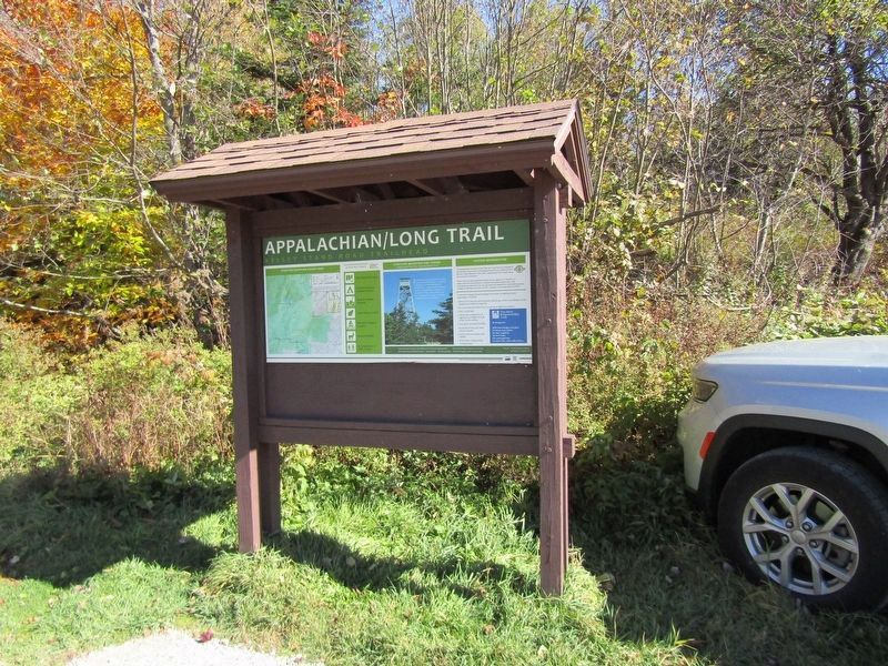
2. Trailhead information board
Credits. This page was last revised on March 24, 2025. It was originally submitted on March 10, 2025, by Conrad Ward of Guilford, Connecticut. This page has been viewed 252 times since then and 40 times this year. Photos: 1, 2. submitted on March 10, 2025, by Conrad Ward of Guilford, Connecticut. • Andrew Ruppenstein was the editor who published this page.
