Plattsburgh in Clinton County, New York — The American Northeast (Mid-Atlantic)
First Presbyterian Church of Plattsburgh
| — | Underground Railroad Heritage Trail | — |

Photographed by Cosmos Mariner, May 19, 2024
1. First Presbyterian Church of Plattsburgh Marker
The families who founded the First Presbyterian Church of Plattsburgh in 1797 were among the wealthiest and most influential in town. Several had owned slaves prior to 1827 when New York outlawed slavery. Others had a history of active involvement in antislavery causes.
It was a moment of change in the community when the Clinton County Anti-Slavery Society convened in the First Presbyterian Church of Plattsburgh for its first annual meeting in August 1837. When the delegates arrived for the meeting, they had to enter through a doorway tarred by opponents of their cause. Just a few months earlier, a prominent member of the congregation circulated a petition to protest against any abolitionist gatherings in Plattsburgh.
By 1838 the currents of sentiment in the area had shifted. An antislavery agent remarked after a visit, “I met with less opposition in this county than in any other sector of the country.”
Topics. This historical marker is listed in these topic lists: Abolition & Underground RR • African Americans • Civil Rights • Religion & Religious Structures. A significant historical month for this entry is August 1837.
Location. 44° 41.828′ N,
this page online

Regionally, this marker is in Upstate New York, in the Adirondacks & North Country, and in the Champlain Valley. It is also in the American Northeast and in the Mid-Atlantic. Globally, it is in North America, the Great North Woods, the Western Hemisphere, the Western World, and the Anglosphere. Historically, it finds itself in what was once the Viceroyalty of New France, New Netherland, and one of the original Thirteen Colonies.
Other nearby markers. At least 8 other markers are within walking distance of this marker: First Church (a few steps from this marker); To Commemorate Macdonough's Victory (within shouting distance of this marker); Strand Theatre

2. Marker detail: Judge Thomas Treadwell
Judge Thomas Treadwell was one of the First Presbyterian’s founding members. In 1794, he began to free his twelve slaves and gave them land in an area that became the free black community of Richland. From the Plattsburgh Sentinel, June 27, 1890.
Related markers. Click here for a list of markers that are related to this marker. First Presbyterian Church of Plattsburgh

Special Collections, Feinberg Library, SUNY Plattsburgh
3. Marker detail: Noadiah Moore
Noadiah Moore of Champlain presided over the Clinton County Anti-Slavery Society’s 1837 meetings.
Courtesy Plattsburgh First Presbyterian Church
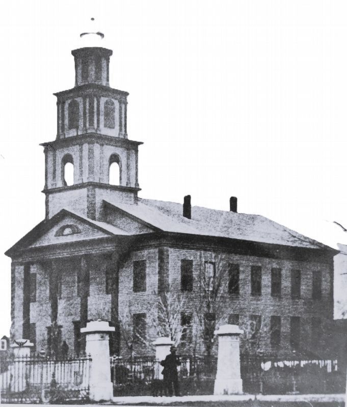
4. Marker detail: First Presbyterian Church
(1819-1867)
(1819-1867)
This building was the home of the First Presbyterian Church from 1816 until it was destroyed by fire in 1867.
Photographed by Cosmos Mariner, May 19, 2024
5. First Presbyterian Church of Plattsburgh Marker
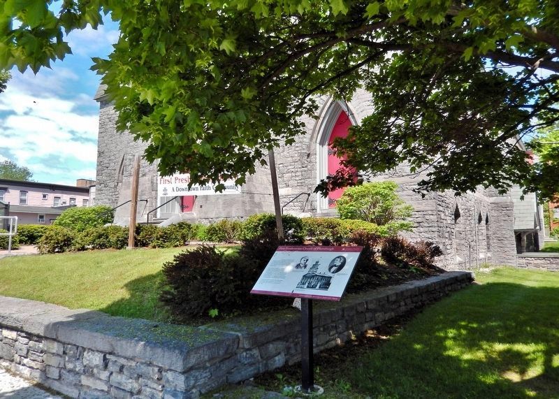
The marker is located at the southeast corner of the church grounds. The southeast corner of the church is partially visible in the background.
Photographed by Cosmos Mariner, May 19, 2024
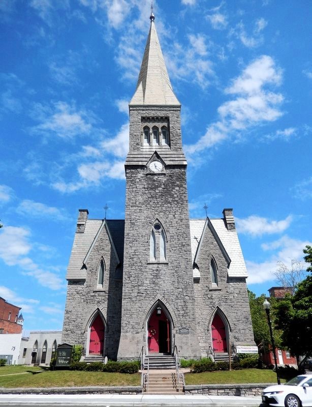
6. First Presbyterian Church of Plattsburgh
(south/front elevation)
(south/front elevation)
Credits. This page was last revised on March 19, 2025. It was originally submitted on March 16, 2025, by Cosmos Mariner of Cape Canaveral, Florida. This page has been viewed 215 times since then and 60 times this year. Photos: 1, 2, 3. submitted on March 18, 2025, by Cosmos Mariner of Cape Canaveral, Florida. 4. submitted on March 19, 2025, by Cosmos Mariner of Cape Canaveral, Florida. 5, 6. submitted on March 18, 2025, by Cosmos Mariner of Cape Canaveral, Florida.
