Peebles in Adams County, Ohio — The American Midwest (Great Lakes)
Cairn of Peace
Photographed by Rev. Ronald Irick, August 14, 2018
1. Cairn of Peace Marker
first plaque
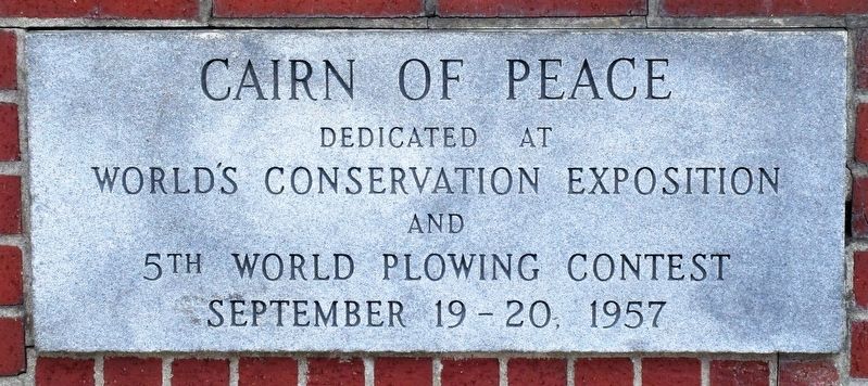
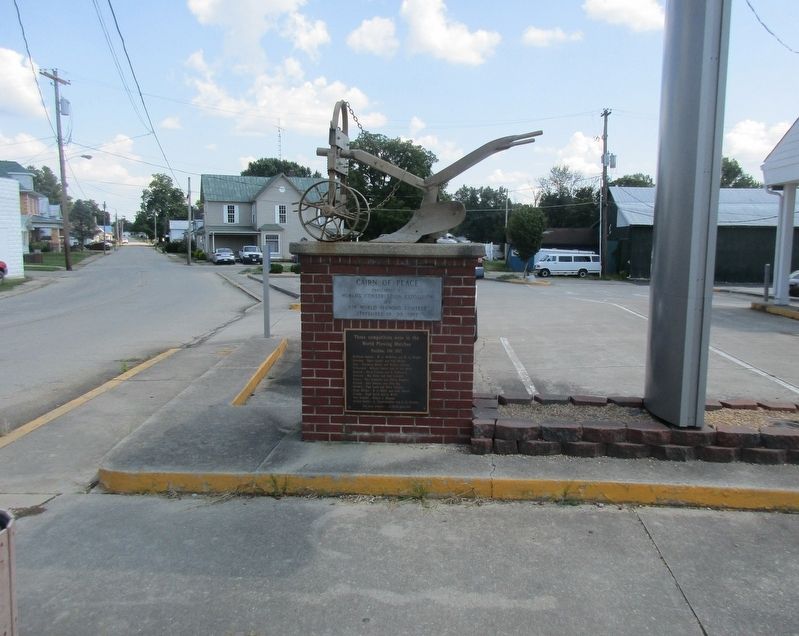
Cairn of Peace dedicated at World’s Conservation Exposition and 5th World Plowing Contest September 19- 20, 1957
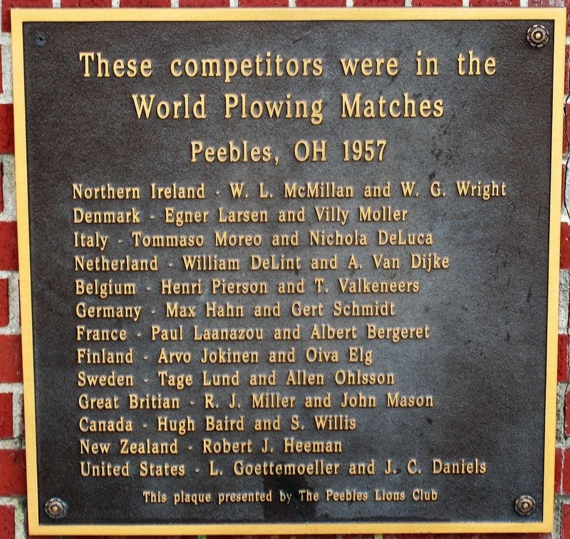
These competitors were in the World Plowing Matches Peebles, Ohio 1957
Northern Ireland W.L. McMillam and W.C. Wright
Denmark Egnar Larsen and Villy Moller
Italy Tommasso Moreo and Nichalo DeLuca
Netherland William DeLint and A. Van Dijke
Belgium Henri Pierson and T. Valkeneers
Germany Max Hahn and Gert Schmidt
France Paul Laanazou and Albert Bergeret
Finland Arvo Jokinen and Oiva Elg
Sweden Tage Lund and Allen Ohisson
Great Britain R.J.Miller and John Mason
Canada Hugh Baird and S. Willis
New Zealand Robert J. Heeman
United States L. Goettemoeller and J.C. Daniels
Erected 1957 by Peebles Lions Club.
Topics. This historical marker is listed in these topic lists: Agriculture • Environment.
Location. 38° 56.93′ N, 83° 24.391′ W. Marker is in Peebles, Ohio, in Adams County. It can be reached from the intersection of Main Street (Ohio Route 41) and Elm Street, on the left when traveling south. Marker is in the parking
this page online

Regionally, this marker is in Southern Ohio Hill Country. It is also in the American Midwest, in the Ohio River Valley, in Appalachia, and specifically in Northern Appalachia. Globally, it is in North America, the Western Hemisphere, the Western World, and the Anglosphere. Historically, it finds itself in what was once the Haudenosaunee (Iroquois) Confederacy, the territory of the Mississippian Culture, and the Northwest Territory.
Other nearby markers. At least 8 other markers are within 6 miles of this marker, measured as the crow flies: Welcome To Peebles (a few steps from this marker); Peebles (approx. ¼ mile away); Wickerham Inn (approx. 1.6 miles away); Locust Grove (approx. 3.1 miles away); Burial Mound (approx. 5.3 miles away); Serpent Mound Impact Crater (approx. 5.3 miles away); a different marker also named Burial Mound (approx. 5.3 miles away); Serpent Mound (approx. 5.4 miles away). Touch for a list and map of all markers in Peebles.
Other
Photographed by Rev. Ronald Irick, August 14, 2018
2. Cairn of Peace Marker
second plaque
Photographed by Rev. Ronald Irick, August 14, 2018
3. Cairn of Peace Marker
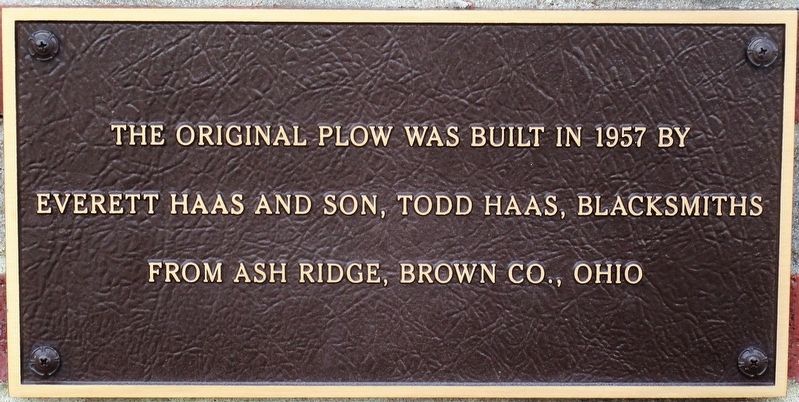
third plaque
Photographed by Rev. Ronald Irick, August 14, 2018
4. Cairn of Peace Marker
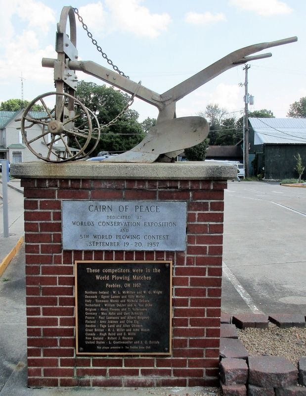
full view of marker
Photographed by Rev. Ronald Irick, August 14, 2018
5. Cairn of Peace Marker
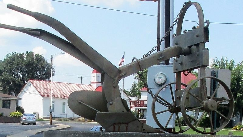
Photographed by Rev. Ronald Irick, August 14, 2018
6. Cairn of Peace Marker
the plow
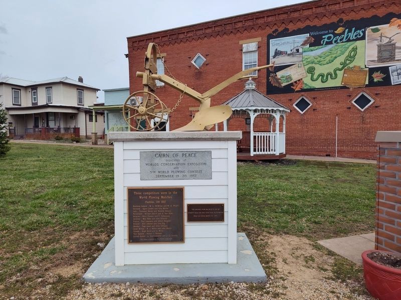
Photographed by Craig Doda, March 15, 2025
7. Cairn of Peace Marker
This marker was moved across the street.
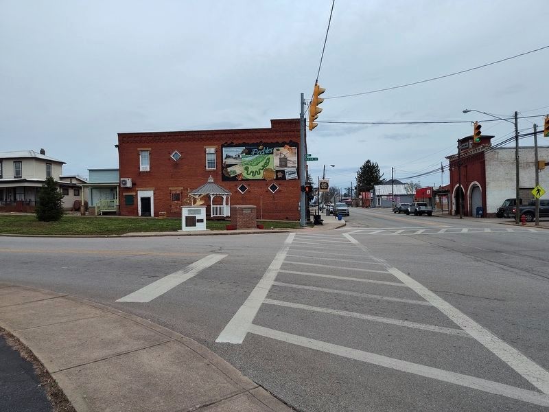
Photographed by Craig Doda, March 15, 2025
8. Cairn of Peace Marker
Credits. This page was last revised on April 2, 2025. It was originally submitted on August 15, 2018, by Rev. Ronald Irick of West Liberty, Ohio. This page has been viewed 900 times since then and 56 times this year. Last updated on March 17, 2025, by Craig Doda of Napoleon, Ohio. Photos: 1, 2, 3, 4, 5, 6. submitted on August 15, 2018, by Rev. Ronald Irick of West Liberty, Ohio. 7, 8. submitted on March 17, 2025, by Craig Doda of Napoleon, Ohio. • Devry Becker Jones was the editor who published this page.
