Defiance in Defiance County, Ohio — The American Midwest (Great Lakes)
Worthington's Cemetery
Photographed by Craig Doda, March 17, 2025
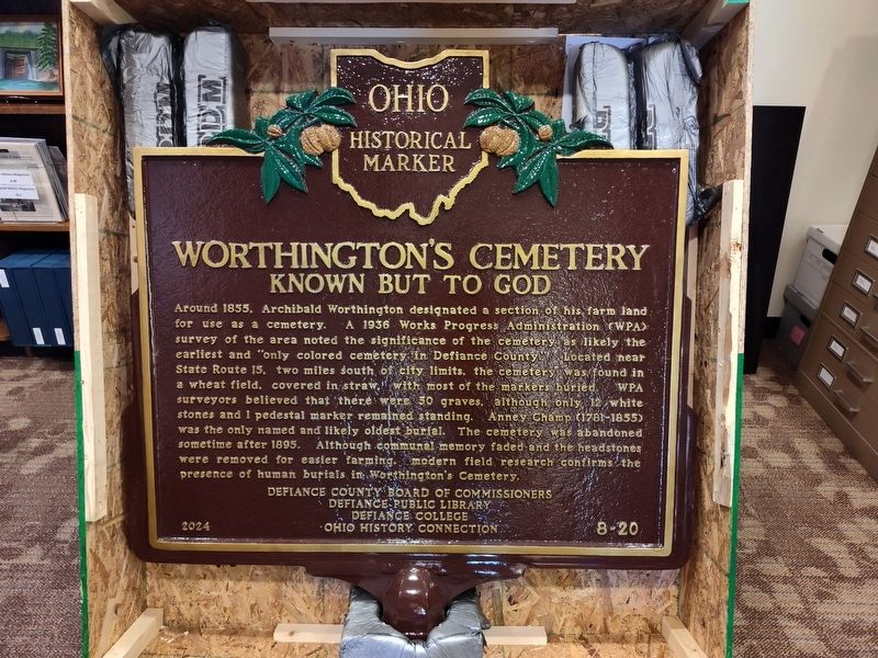
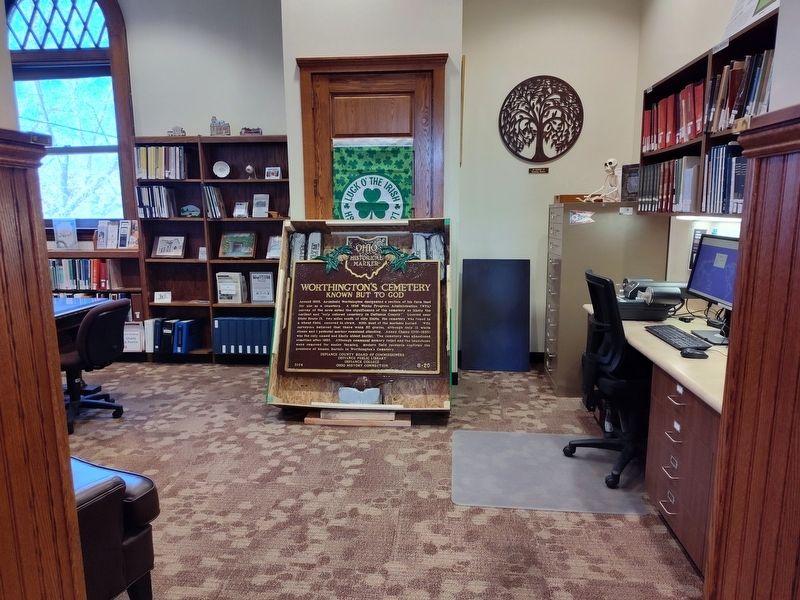
1. Worthington's Cemetery Marker
Inscription.
Worthington's Cemetery. . Around 1855. Archibald Worthington designated a section of his farm land for use as a cemetery. A 1936 Works Progress Administration (WPA) survey of the area noted the significance of the cemetery as likely the earliest and "only colored cemetery in Defiance County Located near State Route 15. two miles south of city limits, the cemetery was found in a wheat field, covered in straw. with most of the markers buried. WPA surveyors believed that there were 50 graves, although only 12 white stones and I pedestal marker remained standing. Anney Champ (1781-1855) was the only named and likely oldest burial. The cemetery was abandoned sometime after 1895. Although communal memory faded and the headstones were removed for easier farming. modern field research confirms the presence of human burials in Worthington's Cemetery.
Around 1855. Archibald Worthington designated a section of his farm land for use as a cemetery. A 1936 Works Progress Administration (WPA) survey of the area noted the significance of the cemetery as likely the earliest and "only colored cemetery in Defiance County Located near State Route 15. two miles south of city limits, the cemetery was found in a wheat field, covered in straw. with most of the markers buried. WPA surveyors believed that there were 50 graves, although only 12 white stones and I pedestal marker remained standing. Anney Champ (1781-1855) was the only named and likely oldest burial. The cemetery was abandoned sometime after 1895. Although communal memory faded and the headstones were removed for easier farming. modern field research confirms the presence of human burials in Worthington's Cemetery.
Erected 2024 by Defiance County Board Of Commissioners / Defiance Public Library / Defiance College / Ohio History Connection. (Marker Number 8-20.)
Location. 41° 17.262′ N, 84° 21.482′ W. Marker is in Defiance, Ohio, in Defiance County. It is at the intersection of Fort Street and Jafferson Street, on the right when traveling west on Fort Street. Touch for map. Marker is at or near this postal address: 320 Fort St, Defiance OH 43512, United States of America. Touch for directions.
Regionally, this marker is in Ohio’s Black Swamp and in the Till Plains. It is also in the American Midwest and in the Corn Belt. Globally, it is in North America, the Western Hemisphere, the Western World, and the Anglosphere. Historically, it finds itself in what was once the Haudenosaunee (Iroquois) Confederacy, the territory of the Mississippian Culture, and the Northwest Territory.
Credits. This page was last revised on May 15, 2025. It was originally submitted on March 17, 2025, by Craig Doda of Napoleon, Ohio. This page has been viewed 169 times since then and 43 times this year. Photos:1, 2. submitted on March 17, 2025, by Craig Doda of Napoleon, Ohio. • Devry Becker Jones was the editor who published this page.
Editor’s want-list for this marker. A wide shot of the marker in context once it is installed. • Can you help?