Old Lyme in Lower Connecticut River Valley Region, Connecticut — The American Northeast (New England)
Connecticut River
Photographed by Conrad Ward, October 19, 2024
1. Connecticut River Marker
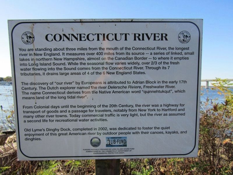
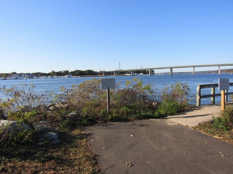
You are standing about three miles from the mouth of the Connecticut River, the longest river in New England. It measures over 400 miles from its source -- a series of linked, small lakes in northern New Hampshire, almost on the Canadian Border -- to where it empties into Long Island Sound. While the seasonal flow varies widely, over 2/3 of the fresh water flowing into the Sound comes from the Connecticut River. Through its 7 tributaries, it drains large areas of 4 of the 6 New England States.
The discovery of "our river" by Europeans is attributed to Adrian Block in the early 17th Century. The Dutch explorer named the river Delersche Riviere, Freshwater River. The name Connecticut derives from the Native American word "quinnehtukqut", which means land of the long tidal river.
From Colonial days until the beginning of the 20th Century, the river was a highway for transport of goods and a passage for travelers, notably from New York to Hartford and many other river towns. Today commercial traffic is very light, but the river has assumed a second life for recreational water activities.
Old Lyme's Dinghy Dock,
this page online
Erected by Connecticut Department of Environmental Protection (DEEP).
Topics. This historical marker is listed in these topic lists: Colonial Era • Exploration • Waterways & Vessels. A significant historical year for this entry is 2002.
Location. 41° 18.821′ N, 72° 20.724′ W. Marker is in Old Lyme in Lower Connecticut River Valley Region, Connecticut. It is on Ferry Road, on the right when traveling south. Touch for map. Marker is in this post office area: Old Lyme CT 06371, United States of America. Touch for directions.

Regionally, this marker is on the Connecticut Shoreline, in Greater New London, in Mystic and the Eastern Shore, and in the Thames River Valley. It is also in the American Northeast, in New England, and on the Eastern Seaboard. Globally, it is in the North Atlantic Region, North America, the Western Hemisphere,
Photographed by Conrad Ward, October 19, 2024
2. Connecticut River Marker
Other nearby markers. At least 8 other markers are within walking distance of this marker: British Raid 1814 (about 700 feet away, measured in a direct line); Anadromous Fish (approx. 0.3 miles away); Osprey (approx. 0.3 miles away); Dr. Roger Tory Peterson Wildlife Area at Great Island (approx. 0.3 miles away); New Raymond E. Baldwin Bridge (approx. half a mile away); Raymond E. Baldwin Bridge (approx. half a mile away); Basil (approx. 0.7 miles away); Margaret Crosley Lewia (approx. 0.7 miles away). Touch for a list and map of all markers in Old Lyme.
Credits. This page was last revised on May 19, 2026. It was originally submitted on March 18, 2025, by Conrad Ward of Guilford, Connecticut. This page has been viewed 145 times since then and 22 times this year. Photos: 1, 2. submitted on March 18, 2025, by Conrad Ward of Guilford, Connecticut. • Andrew Ruppenstein was the editor who published this page.
