Clockville in Lincoln in Madison County, New York — The American Northeast (Mid-Atlantic)
The Abolition Road
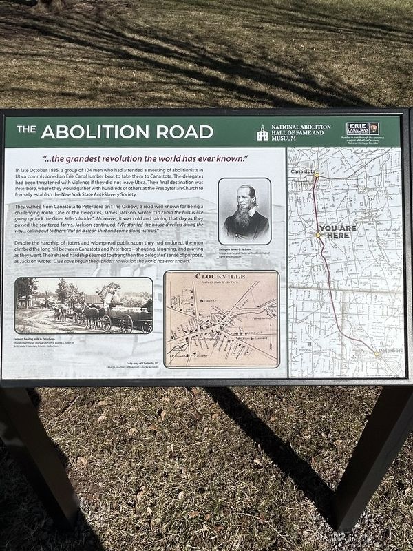
“…the greatest revolution the world has ever known.”
Photographed by Susan A. Dalaba, March 18, 2025
1. The Abolition Road Marker
They walked from Canastota to Peterboro on “The Oxbow,” a road well known for being a challenging route. One of the delegates, James Jackson, wrote: “To climb the hills is like going up Jack the Giant Killer’s ladder.” Moreover, it was cold and raining that day as they passed the scattered farms. Jackson continued: “We startled the house dwellers along the way…calling out to them: ‘Put on a clean shirt and come along with us.’”
Despite the hardship of rioters and widespread public scorn they had endured, the men climbed the long hill between Canastota and Peterboro - shouting, laughing, and praying as they went. Their shared hardship seemed to strengthen the delegates sense of purpose, as Jackson wrote: “… we
this page online
Topics. This historical marker is listed in these topic lists: Abolition & Underground RR • African Americans • Civil Rights. A significant historical month for this entry is October 1835.
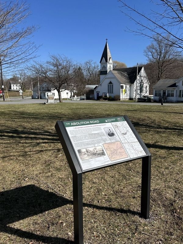
Location. 43° 2.522′ N, 75° 44.676′ W. Marker is in Lincoln, New York, in Madison County. It is in Clockville. It is at the intersection of Oxbow Road (County Route 25) and Clockville Road, on the left on Oxbow Road. The placard style marker is in a triangular green area between Oxbow Road, Clockville Road and Old County Road (County Route 92). Touch for map. Marker is at or near this postal address: 7235 Oxbow Road, Lincoln NY 13043-9998, United States of America. Touch for directions.

Regionally, this marker is in Upstate New York, specifically in Central New York, and in the Syracuse Metropolitan Area. It is also in the American Northeast and in the Mid-Atlantic. Globally, it is in North America, the Western Hemisphere, the Western World, and the Anglosphere. Historically, it finds itself in what was once the Haudenosaunee (Iroquois) Confederacy, New Netherland, and one
Photographed by Susan A. Dalaba, March 18, 2025
2. The Abolition Road Marker
Other nearby markers. At least 8 other markers are within 3 miles of this marker, measured as the crow flies: Town of Lincoln Veterans Memorial (about 300 feet away, measured in a direct line); Birthplace of Gen. Chauncey Barnes Reese (approx. 2 miles away); Town Of Lenox WWII Memorial (approx. 2 miles away); Lenox and Canastota War Memorial (approx. 2 miles away); Amelia Earhart (approx. 2.1 miles away); Trinity Episcopal Church (approx. 2.1 miles away); Home of Milton Delano (approx. 2.2 miles away); First Baptist Church (approx. 2.3 miles away).
Photographed by Susan A. Dalaba, March 18, 2025
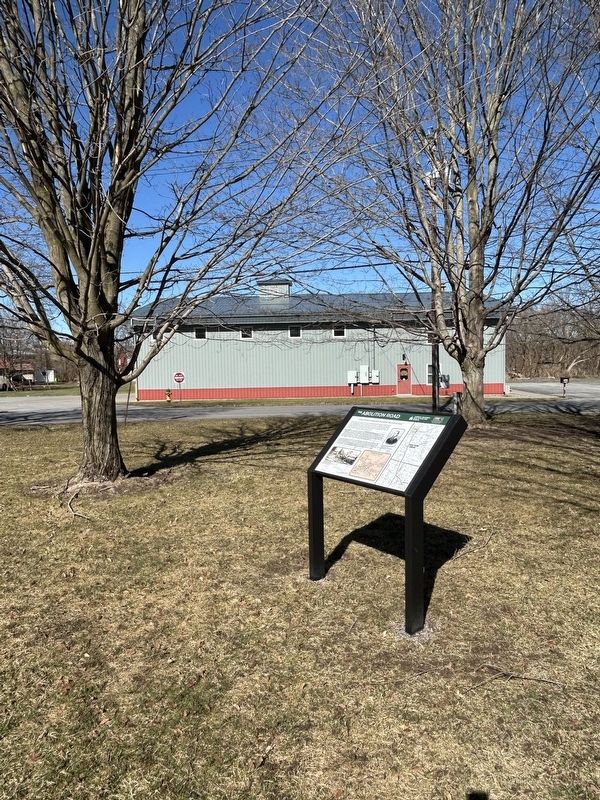
3. Lincoln Fire Department in the distance.
Photographed by Susan A. Dalaba, March 18, 2025
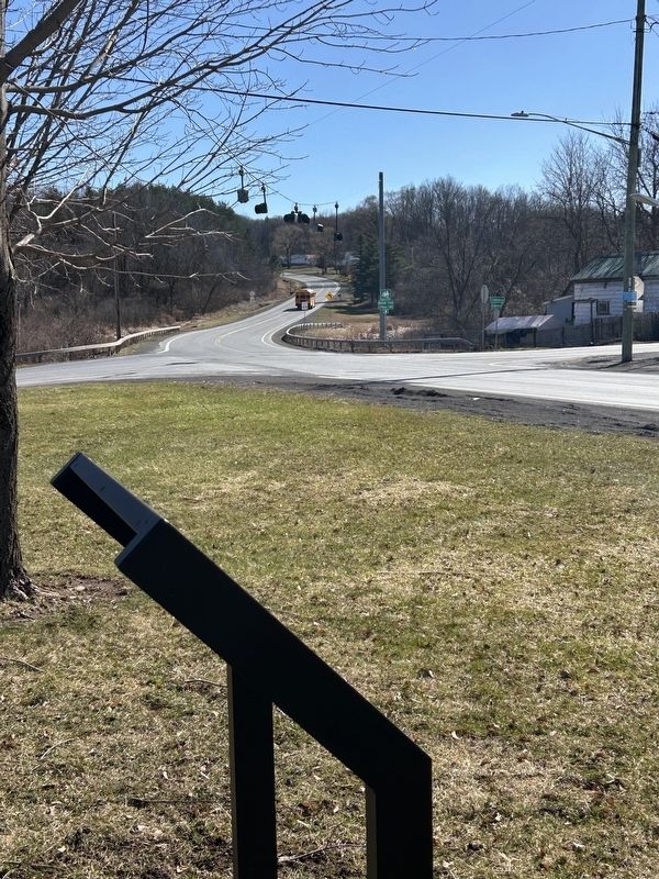
4. The intersection of Old Country Road and Clockville Road.
Credits. This page was last revised on March 28, 2025. It was originally submitted on March 20, 2025, by Susan A. Dalaba of Cortland, New York. This page has been viewed 199 times since then and 43 times this year. Photos: 1, 2, 3, 4. submitted on March 20, 2025, by Susan A. Dalaba of Cortland, New York. • Andrew Ruppenstein was the editor who published this page.
