Des Plaines in Cook County, Illinois — The American Midwest (Great Lakes)
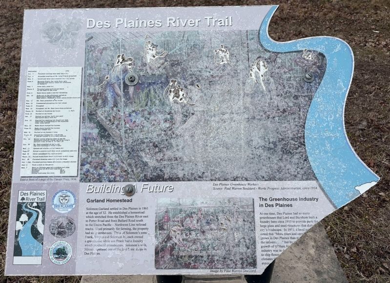
Des Plaines River Trail
Building a Future
Photographed by Sean P. Flynn, March 21, 2025
1. Des Plaines River Trail Marker
Garland Homestead
Solomon Garland settled Des Plaines in 1861 at the age of 32. He established a homestead which stretched from the Des Plaines River to Potter Road and from Ballard Road south to the Union Pacific - Northwest Line railroad tracks. Used primarily for farming, the property had six greenhouses. Three of Solomon's sons: Frank, Warren and Solomon Jr., each owned a greenhouse while Frank had a foundry which produced greenhouses. Solomon's wife, Minnie, operated one of the first floral shops in Des Plaines.
The Greenhouse Industry in Des Plaines
At one time, Des Plaines had so many greenhouses that Lord and Burnham built a foundry here circa 1910 to provide parts for the large grass and steel structures that dotted the city's landscape. In 1951, a local newspaper noted that "More roses and carnations are grown in Des Plaines than anywhere else in the universe..." but by the 1960s, with the growth of O'Hare Airport, the once thriving industry was in decline. It was less expensive to ship flowers than it was to grow them in the forced atmosphere of the greenhouses.
Plant Search?
Sugar Maples are now common
this page online
Erected by City of Des Plaines; Des Plaines History Center; Forest Preserves of Cook County.
Topics. This historical marker is listed in these topic lists: Agriculture • Environment • Horticulture & Forestry • Industry & Commerce. A significant historical year for this entry is 1861.
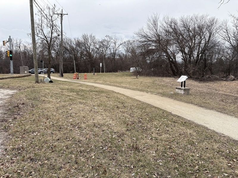
Location. 42° 2.639′ N, 87° 52.589′ W. Marker has been reported damaged. Marker is in Des Plaines, Illinois, in Cook County. It is at the intersection of Ballard Road and Rand Road, on the right when traveling west on Ballard Road. Touch for map. Marker is in this post office area: Des Plaines IL 60016, United States of America. Touch for directions.

Regionally, this marker is in Greater Chicago. It is also in the American Midwest. Globally, it is in North America, on the Great Lakes, in the Western Hemisphere, in the Western World, and in the Anglosphere. Historically, it finds itself
Photographed by Sean P. Flynn, March 21, 2025
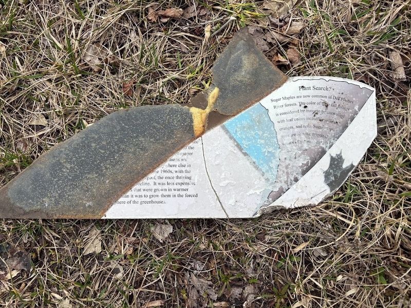
2. Des Plaines River Trail Marker broken portion
Other nearby markers. At least 8 other markers are within walking distance of this location: Belleau Wood — June 1918 (within shouting distance of this marker); Belleau Wood (within shouting distance of this marker); The Battle of Belleau Wood: The 2nd Infantry's Triumph (within shouting distance of this marker); First McDonald's Franchise (approx. half a mile away); Socrates Rand Grist Mill (approx. 0.6 miles away); Des Plaines Veterans of Foreign Wars Post 2992 (approx. 0.6 miles away); Des Plaines Savings & Loan Association (approx. 0.6 miles away); Des Plaines Pumping Station Cornerstone (approx. 0.6 miles away). Touch for a list and map of all markers in Des Plaines.
More about this marker. When visited in March 2025, the marker was damaged: The bottom right corner was broken off and was laying on the ground next to the sign. Based on Google Street View, the damage had not happened yet in June 2024. In addition, the marker was fairly weathered, and a photograph of greenhouse workers had completely faded

Photographed by Sean P. Flynn, March 21, 2025
3. Des Plaines River Trail Marker
The broken bottom right corner is next to the marker.
Also see . . . Forest Preserves of Cook County: Des Plaines River Trail. (Submitted on March 21, 2025, by Sean P. Flynn of Oak Park, Illinois.)
Photographed by Sean P. Flynn, March 21, 2025
4. Des Plaines River Trail Marker and the intersection of Ballard and Rand Roads

Photographed by Sean P. Flynn, March 21, 2025
5. Des Plaines River Trail Marker
The marker is across Ballard Road from the Belleau Woods memorials.

Photographed by Sean P. Flynn, March 21, 2025
6. Conant Diary image
The left side of the marker includes a picture of the Conant Diary, which dates to 1836.
Credits. This page was last revised on March 22, 2025. It was originally submitted on March 21, 2025, by Sean P. Flynn of Oak Park, Illinois. This page has been viewed 201 times since then and 37 times this year. Photos: 1, 2, 3, 4, 5, 6. submitted on March 21, 2025, by Sean P. Flynn of Oak Park, Illinois.
