Near Palm Coast in Flagler County, Florida — The American South (South Atlantic)
Colonial Road
Photographed by Tim Fillmon, February 29, 2024
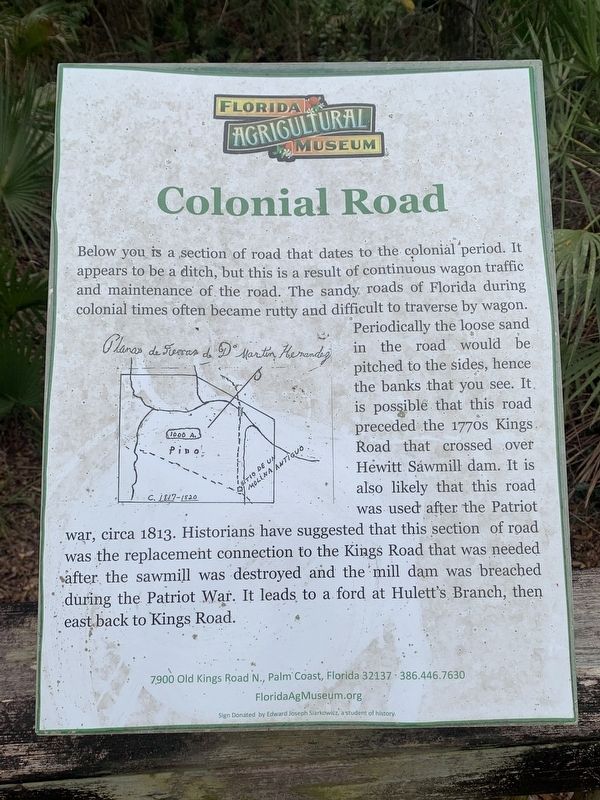
1. Colonial Road Marker
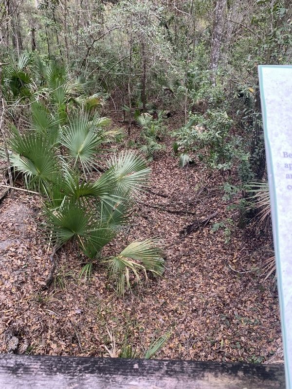
Below you is a section of road that dates to the colonial period. It appears to be a ditch, but this is a result of continuous wagon traffic and maintenance of the road. The sandy roads of Florida during colonial times often became rutty and difficult to traverse by wagon. Periodically the loose sand in the road would be pitched to the sides, hence the banks that you see. It. is possible that this road preceded the 1770s Kings Road that crossed over Hewitt Sawmill dam. It is also likely that this road was used after the Patriot war, circa 1813. Historians have suggested that this section of road was the replacement connection to the Kings Road that was needed after the sawmill was destroyed and the mill dam was breached during the Patriot War. It leads to a ford at Hulett's Branch, then east back to Kings Road.
Erected by Florida Agriculture Museum.
Topics. This historical marker is listed in these topic lists: Colonial Era • Roads & Vehicles.
Location. 29° 38.575′ N, 81° 17.53′ W. Marker is near Palm Coast, Florida, in Flagler County. It can be
this page online

Regionally, this marker is in Florida’s First Coast. It is also in the American South and on the Eastern Seaboard. Globally, it is in the North Atlantic Region, North America, a Gulf of Mexico state, the Western Hemisphere, the Western World, and the Anglosphere. Historically, it finds itself in what was once New Spain, the territory of the Mississippian Culture, one of the Confederate States of America, and the Antebellum South.
Other nearby markers. At least 8 other markers are within walking distance of this marker: Colonial Buildings (about 300 feet away, measured in a direct line); The History of Hewitt Sawmill (about 500 feet away); The Hewitt Sawmill Dam & Pond (about 500 feet away); Historical and Archaeological Sites (about 500 feet away); The Mechanics of the Sawmill (about 500 feet away); Sweat & Sawdust Life at the Mill
Photographed by Tim Fillmon, February 29, 2024
2. Colonial Road Remnants
Also see . . . Hewitt Sawmill. (Submitted on March 24, 2025, by Tim Fillmon of Webster, Florida.)
Credits. This page was last revised on March 24, 2025. It was originally submitted on March 23, 2025, by Tim Fillmon of Webster, Florida. This page has been viewed 140 times since then and 29 times this year. Photos: 1. submitted on March 23, 2025, by Tim Fillmon of Webster, Florida. 2. submitted on March 24, 2025, by Tim Fillmon of Webster, Florida.
