Palm Coast in Flagler County, Florida — The American South (South Atlantic)
The Kings Road
Photographed by Tim Fillmon, February 29, 2024
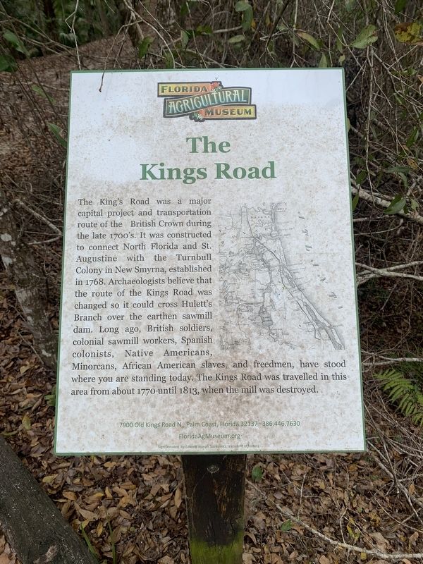
1. The Kings Road Marker
The King's Road was a major capital project and transportation route of the British Crown during the late 1700's. It was constructed to connect North Florida and St. Augustine with the Turnbull Colony in New Smyrna, established in 1768. Archaeologists believe that the route of the Kings Road was changed so it could cross Hulett's Branch over the earthen sawmill dam. Long ago, British soldiers, colonial sawmill workers, Spanish colonists, Native Americans, Minorcans, African American slaves, and freedmen, have stood where you are standing today. The Kings Road was travelled in this area from about 1770 until 1813, when the mill was destroyed.
Erected by Florida Agriculture Museum.
Topics. This historical marker is listed in these topic lists: Colonial Era • Industry & Commerce • Roads & Vehicles. A significant historical year for this entry is 1768.
Location. 29° 38.501′ N, 81° 17.458′ W. Marker is in Palm Coast, Florida, in Flagler County. It can be reached from U.S. 1 just north of North Old Kings Road, on the right when traveling south. Marker can be found in the Florida Agricultural Museum's
this page online

Regionally, this marker is in Florida’s First Coast. It is also in the American South and on the Eastern Seaboard. Globally, it is in the North Atlantic Region, North America, a Gulf of Mexico state, the Western Hemisphere, the Western World, and the Anglosphere. Historically, it finds itself in what was once New Spain, the territory of the Mississippian Culture, one of the Confederate States of America, and the Antebellum South.
Other nearby markers. At least 8 other markers are within walking distance of this marker: Sweat & Sawdust Life at the Mill (a few steps from this marker); The Mechanics of the Sawmill (a few steps from this marker); The Hewitt Sawmill Dam & Pond (about 300 feet away, measured in a direct line); Colonial Buildings (about 400 feet away); The History of Hewitt Sawmill (about 500 feet away); Colonial Road (about 600 feet away); Historical and Archaeological Sites (about 700 feet away); Double Bridges and the Old King's Road 1772
Photographed by Tim Fillmon, February 29, 2024
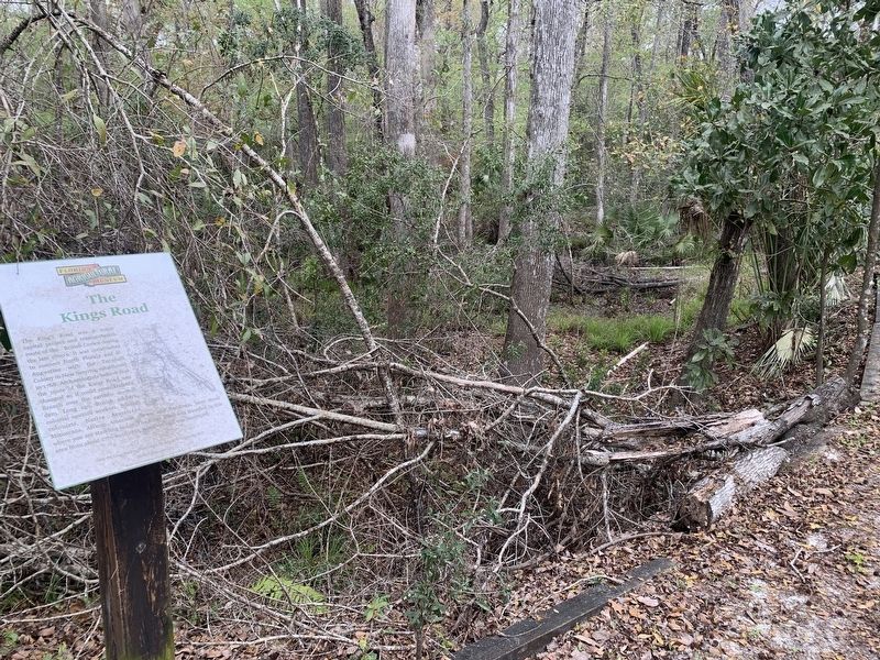
2. The Kings Road Marker
Also see . . . Hewitt Sawmill. (Submitted on March 24, 2025, by Tim Fillmon of Webster, Florida.)
Credits. This page was last revised on March 24, 2025. It was originally submitted on March 24, 2025, by Tim Fillmon of Webster, Florida. This page has been viewed 173 times since then and 35 times this year. Photos: 1, 2. submitted on March 24, 2025, by Tim Fillmon of Webster, Florida.
