Near Graford in Palo Pinto County, Texas — The American South (West South Central)
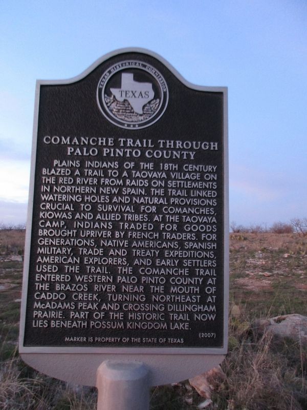
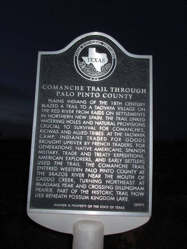
Comanche Trail Through Palo Pinto County
Photographed by Jeff Leichsenring, March 24, 2025
1. Comanche Trail Through Palo Pinto County Marker
Erected 2007 by Texas Historical Commission. (Marker Number 13982.)
Topics. This historical marker is listed in these topic lists: Exploration • Indigenous Peoples and Communities • Roads & Vehicles.
Location. 32° 59.88′ N, 98° 22.586′ W. Marker is near Graford, Texas, in Palo Pinto County. It is on State Road 377 1½ miles south of State Highway 16, on the right
this page online

Regionally, this marker is in the Prairies & Lakes Region. Globally, it is in North America, a Gulf of Mexico state, the Western Hemisphere, the Western World, and the Anglosphere. Historically, it finds itself in what was once New Spain, the Comanchería, the Republic of Texas, and one of the Confederate States of America.
Other nearby markers. At least 4 other markers are within 14 miles of this marker, measured as the crow flies: James Madison McCloud (approx. 11.3 miles away); Henry E. Bryson's Home (approx. 11.3 miles away); Bryson (approx. 11.3 miles away); Civilian Conservation Corps at Possum Kingdom State Park (approx. 14.1 miles away).
Photographed by Jeff Leichsenring, March 24, 2025
2. Comanche Trail Through Palo Pinto County Marker

Photographed by Jeff Leichsenring, March 24, 2025
3. Comanche Trail Through Palo Pinto County Marker
Credits. This page was last revised on March 27, 2025. It was originally submitted on March 25, 2025, by Jeff Leichsenring of Garland, Texas. This page has been viewed 569 times since then and 158 times this year. Photos: 1, 2, 3. submitted on March 25, 2025, by Jeff Leichsenring of Garland, Texas. • James Hulse was the editor who published this page.
