Rosalia in Whitman County, Washington — The American West (Northwest)
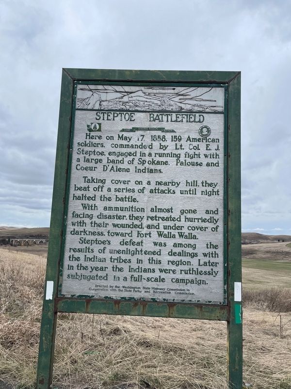
Steptoe Battlefield
Photographed by Mark Teshera
1. Steptoe Battlefield Marker
Erected by Washington State Highway Commission in cooperation with the State Parks and Recreation Commission.
Topics. This historical marker is listed in these topic lists: Indigenous Peoples and Communities • Wars, US Indian. A significant historical date for this entry is May 17, 1858.
Location. 47° 13.674′ N, 117° 21.332′ W. Marker is in Rosalia, Washington, in Whitman County. It is on U.S. 195 0.2 miles south of Pandora Road, on the right when traveling south. Touch for map. Marker is in this post office area: Rosalia WA
this page online

Regionally, this marker is in the Palouse and in Greater Spokane. It is also in the American Mountain West and in the Lewis & Clark Corridor. Globally, it is in North America, on the Pacific Rim, in the Western Hemisphere, in the Western World, and in the Anglosphere.
Other nearby markers. At least 2 other markers are within 13 miles of this marker, measured as the crow flies: Horn School Rest Area (approx. 3.3 miles away); Hanging Tree Monument (approx. 12½ miles away).
Photographed by Mark Teshera
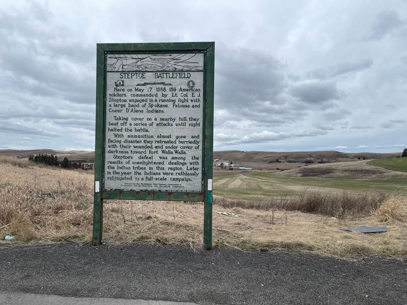
2. Steptoe Battlefield Marker
Photographed by Mark Teshera
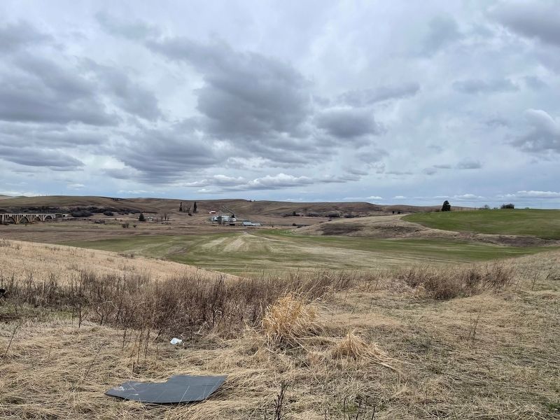
3. Steptoe Battlefield Marker
The obelisk at Steptoe Battlefield State Park Heritage Site can be seen at right.
Credits. This page was last revised on April 11, 2025. It was originally submitted on March 28, 2025, by Mark Teshera of Oroville, Washington. This page has been viewed 373 times since then and 71 times this year. Photos: 1, 2, 3. submitted on March 28, 2025, by Mark Teshera of Oroville, Washington. • James Hulse was the editor who published this page.
