Mission Valley in El Paso in El Paso County, Texas — The American South (West South Central)
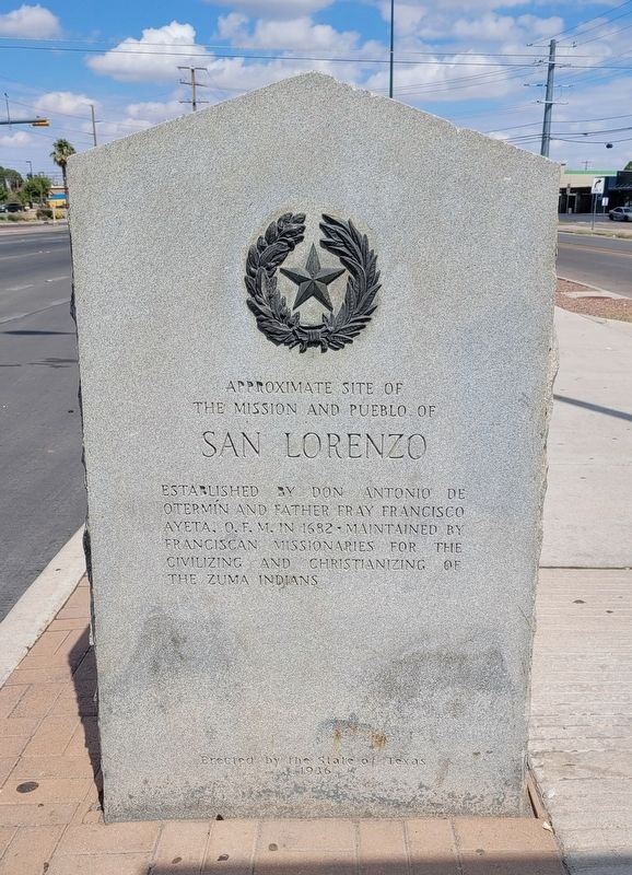
Approximate Site of the Mission and Pueblo of San Lorenzo
Photographed by James Hulse, July 22, 2024
1. Approximate Site of the Mission and Pueblo of San Lorenzo Marker
Erected 1936 by State of Texas. (Marker Number 4546.)
Topics and series. This historical marker is listed in these topic lists: Hispanic Americans • Indigenous Peoples and Communities • Religion & Religious Structures. In addition, it is included in the Texas 1936 Centennial Markers and Monuments series list. A significant historical year for this entry is 1682.
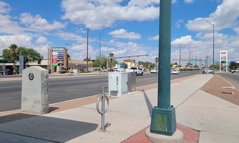
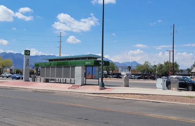
Location. 31° 46.074′ N, 106° 25.415′ W. Marker is in El Paso, Texas, in El Paso County. It is in Mission Valley. It is on Alameda Avenue west of Buena Vista, on the right when traveling east. The marker is located next to a bus stop in the median. Touch for map. Marker is in this post office area: El Paso TX 79905, United States of America. Touch for directions.

Regionally, this marker is in the Trans-Pecos & Big Bend Region. It is also in the American Borderlands and in the Southwest. Globally, it is in North America, a Gulf of Mexico state, the Western Hemisphere,
this page online
Other nearby markers. At least 8 other markers are within 2 miles of this marker, measured as the crow flies: Southwestern International Livestock Show and Rodeo (approx. 1.1 miles away); Urbici Soler (approx. 1.2 miles away); Victoriano Huerta (approx. 1.2 miles away); Henry C. Trost (approx. 1.2 miles away); Site of Camp Concordia and Fort Bliss (approx. 1.4 miles away); The Mormon Plot in Concordia Cemetery (approx. 1.6 miles away); John Wesley Hardin (approx. 1.7 miles away); James H. White (approx. 1.7 miles away). Touch for a list and map of all markers in El Paso.
Also see . . . Don Antonio de Otermín. Texas State Historical Association (TSHA)
The known facts of Antonio de Otermín's life are centered around the Pueblo Indian Revolt, which occurred in New Mexico in 1680. On August 10 of that year Indian discontent with Spanish rule erupted in the revolt, described by Hubert H. Bancroft as "the greatest disaster that ever befell Spain on the northern(Submitted on July 25, 2024, by James Hulse of Medina, Texas.)frontier, if not indeed in any part of America." From Taos to Santa Fe and from Isleta to Zuñi occurred murder, pillage, devastation, and desecration. For a short time Santa Fe under the leadership of Governor Antonio de Otermín held out, as did Isleta under Capt. Alonso García. But when communication between these two groups became impossible, the two commanders decided independently to flee southward to the comparative safety of the Pass of the North, the future site of El Paso, Texas. The two groups of refugees met at Fray Cristóbal, New Mexico, on September 13, some five weeks after the initial outbreak. Here they rested for a few days before continuing their retreat.Photographed by James Hulse, July 22, 20242. Approximate Site of the Mission and Pueblo of San Lorenzo Marker
Photographed by James Hulse, July 22, 2024
3. The view of the marker next to a bus stop
Credits. This page was last revised on March 31, 2025. It was originally submitted on July 25, 2024, by James Hulse of Medina, Texas. This page has been viewed 280 times since then and 34 times this year. Last updated on March 29, 2025, by Jeff Leichsenring of Garland, Texas. Photos: 1, 2, 3. submitted on July 27, 2024, by James Hulse of Medina, Texas.
