Bethlehem in Lehigh County, Pennsylvania — The American Northeast (Mid-Atlantic)
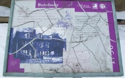
Butchery
1756
Newly slaughtered cattle provided fresh, or “green,” hides for the tanner to process into leather. The tannery stood directly to the south, or left; of the butchery so that these two industries could work together in Bethlehem.
Colonial travelers reported that the Moravians had one of the largest cattle-raising operations in Pennsylvania. The cattle provided meat for food and hides for leather, while the hair, horns, hoofs, and other parts were used to make products like upholstery and glue.
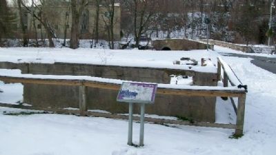
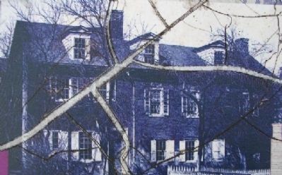
Although the slaughtering of livestock was one of the oldest industries along the Monocacy Creek, little is known about the building associated with it. Maps indicate that a slaughter house, or butchery, was located on this site from 1752 and the foundations exposed here may date from 1756.
[Marker is damaged]
Erected by Historic Bethlehem, HistoryWorks!, and Delaware & Lehigh National Heritage Corridor.
Topics. This historical marker is listed in these topic lists: Animals • Colonial Era • Industry & Commerce • Man-Made Features • Settlements & Settlers. A significant historical year for this entry is 1752.
Location. 40° 37.213′ N, 75° 23.009′ W. Marker is in Bethlehem, Pennsylvania, in Lehigh County. Marker is in the Colonial Industrial Quarter of Historic Bethlehem, about 150 feet east of the old stone bridge over the Monocacy Creek. Touch for map. Marker is in this post office area: Bethlehem PA 18018, United States of America. Touch for directions.
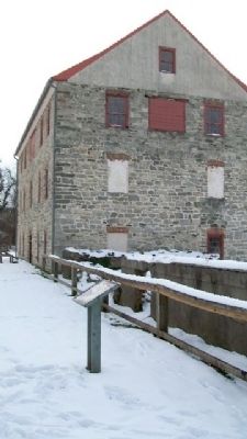
Other nearby markers. At least 8 other markers are within walking distance of this marker. Luckenbach Mill (a few steps from this marker); Miller's House (a few steps from this marker); Tannery (within shouting distance of this marker); Dye House (within shouting distance of this marker); Springhouse (within shouting distance of this marker); Tawery (within shouting distance of this marker); Bark Shed (about 300 feet away, measured in a direct line); First House of Moravian Settlement (about 400 feet away). Touch for a list and map of all markers in Bethlehem.
Also see . . . Colonial Industrial Quarter. (Submitted on January 27, 2010, by William Fischer, Jr. of Scranton, Pennsylvania.)
Credits. This page was last revised on October 6, 2020. It was originally submitted on January 27, 2010, by William Fischer, Jr. of Scranton, Pennsylvania. This page has been viewed 835 times since then and 16 times this year. Photos: 1, 2, 3, 4. submitted on January 27, 2010, by William Fischer, Jr. of Scranton, Pennsylvania.


