New Cumberland in Hancock County, West Virginia — The American South (Appalachia)
Flood of 1936
⎯⎯⎯
Early Indians

Photographed by Craig Doda, March 29, 2025
1. Flood Of 1936 side of marker
Flood of 1936. The flood of 1884 was thought to be the great flood at 47' 11". But the 1936 flood crested at 51' 6" on March 18. It was followed by another flood on March 26-35' 9". Over 1,000 citizens were fed at the community house and Christian Church. Many buildings floated away. The Pennsylvania Railroad station was destroyed. Flood stage for New Cumberland is 36'.
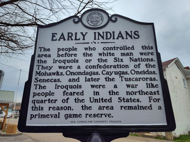
Early Indians. The people who controlled this area before the white man were the Iroquois or the Six Nations. They were a confederation of the Mohawks, Onondagas, Cayugas, Oneidas, Senecas, and later the Tuscaroras. The Iroquois were a war like people feared in the northeast quarter of the United States. For this reason, the area remained a primeval game reserve.
Erected by New Cumberland COunty Projects.
Topics. This historical marker is listed in these topic lists: Disasters • Indigenous Peoples and Communities • Settlements & Settlers • Waterways & Vessels. A significant historical date for this entry is March 18, 1936.
Location. 40° 29.923′ N, 80° 36.664′ W. Marker is in New Cumberland, West Virginia, in Hancock County. It is at the intersection
this page online

Regionally, this marker is in the Northern Panhandle and in the High Valley. It is also in the American South, specifically in the Upper South, in the Ohio River Valley, and in Appalachia. Globally, it is in North America, the Western Hemisphere, the Western World, and the Anglosphere. Historically, it finds itself in what was once the territory of the Mississippian Culture.
Other nearby markers. At least 8 other markers are within walking distance of this marker: Old Town (here, next to this marker); Captain John Porter / Chelsea China Company (here, next to this marker); Brickyard Bend (a few steps from this marker); Contested County Seat (a few steps from this marker); Gravel Hill Academy (a few steps from this marker); Rockyside / The Black Stone Church (a few steps from this marker); New Cumberland (a few steps from this marker); First Gas Well (within shouting distance
Photographed by Craig Doda, March 29, 2025
2. Early Indians side of marker
Photographed by Craig Doda, March 29, 2025
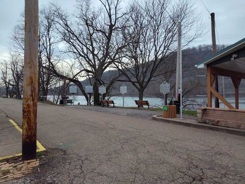
3. Arthur Jack Watson Overlook Pavilion
Photographed by Craig Doda, March 29, 2025
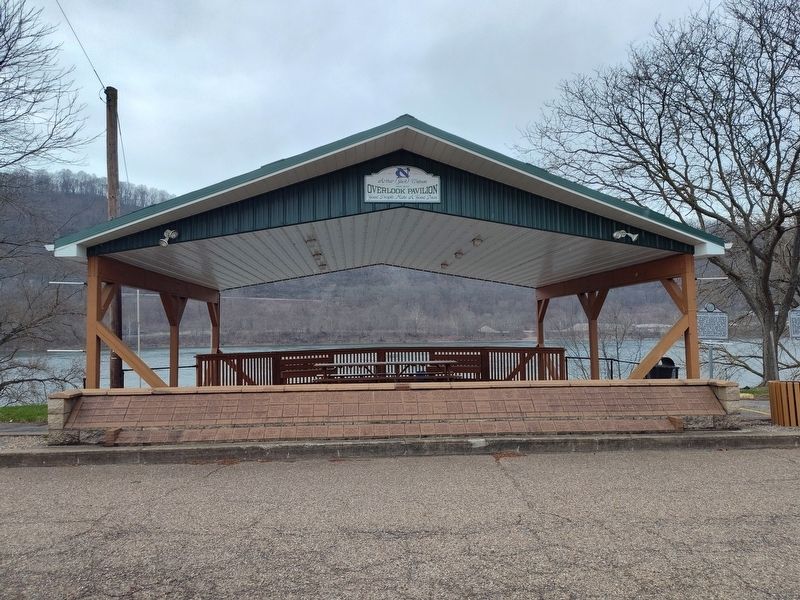
4. Arthur Jack Watson Overlook Pavilion
Credits. This page was last revised on July 26, 2025. It was originally submitted on April 1, 2025, by Craig Doda of Napoleon, Ohio. This page has been viewed 212 times since then and 35 times this year. Photos: 1, 2, 3, 4. submitted on April 1, 2025, by Craig Doda of Napoleon, Ohio. • Devry Becker Jones was the editor who published this page.
