Fort Sumner in De Baca County, New Mexico — The American Mountains (Southwest)
Bosque Redondo Memorial at Fort Sumner Historic Site
Photographed by James Hulse, March 24, 2025
1. Bosque Redondo Memorial at Fort Sumner Historic Site Marker
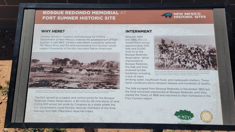
General James H. Carleton, commanding the Military Department of New Mexico, ordered the establishment of Fort Sumner in late 1862. Carleton and others mistakenly believed the Pecos River and the land surrounding Fort Sumner would support thousands of forcibly relocated Native Americans.
The fort served as a supply and control point for the Bosque Redondo Indian Reservation, a 40-mile by 40-mile block of land (1,024,000 acres) set aside by Congress as a place where the U.S. Government could forcibly relocate members of the Diné (Navajo) and Ndé (Mescalero Apache) tribes.
Internment
Between 1863 and 1866, the U.S. Government forced approximately 500 Ndé and 10,000 Diné on to the Bosque Redondo Reservation. While imprisoned at Bosque Redondo, the Ndé and Diné endured terrible hardships including a lack of clean drinking water, insufficient food, and inadequate shelters. These harsh conditions led to rampant disease and hundreds of deaths.
The Ndé escaped from Bosque Redondo in November 1865 but the Diné remained imprisoned at Bosque Redondo until they signed the Treaty of 1868 and returned to their homeland
this page online
Captions
(Photo #1) Old post of Fort Sumner on the Bank of the Pecos River in New Mexico, date unknown. From Center for Southwest Research, University Libraries, University of New Mexico. William A. Keleher Collection. Resource Identifier 000-742-0768.tif
(Photo #2) Navajo Long Walk, 1863-1867; Bosque Redondo Indian Reservation (Ν.Μ.), 1963-1867, From Center for Southwest Research, University Libraries, University of New Mexico. William A. Keleher Collection. Resource Identifier 000-742-0395.tif
Erected by New Mexico Historic Sites, Friends of the Bosque Redondo Memorial and Department of Cultural Affairs New Mexico.
Topics. This historical marker is listed in these topic lists: Forts and Castles • Indigenous Peoples and Communities • Wars, US Indian. A significant historical month for this entry is November 1865.
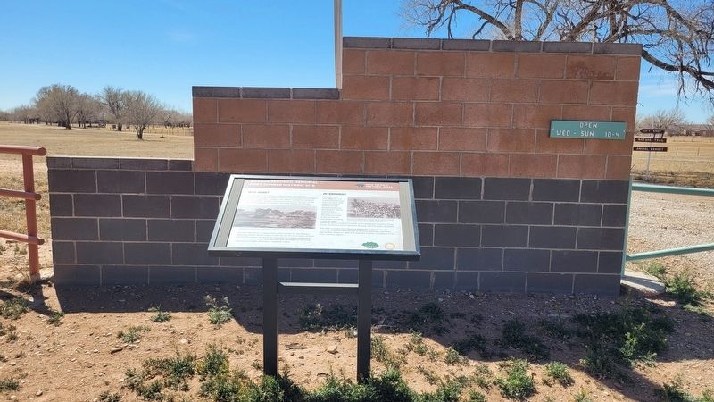
Location. 34° 24.252′ N, 104° 11.632′ W. Marker is in Fort Sumner, New Mexico, in De Baca County. It is on Billy the Kid Drive south of Pecan Drive, on the right when traveling south. The marker is located at the parking lot for the Old Fort Sumner Cemetery. Touch for map.
Photographed by James Hulse, March 24, 2025
2. Bosque Redondo Memorial at Fort Sumner Historic Site Marker

Regionally, this marker is in Eastern New Mexico and in the Pecos Valley. It is also in the American Southwest, on the Great Plains, on the Southern Plains, and specifically on the High Plains. Globally, it is in North America, the Western Hemisphere, the Western World, and the Anglosphere. Historically, it finds itself in what was once New Spain, the Comanchería, the Dust Bowl, and the Republic of Texas.
Other nearby markers. At least 8 other markers are within walking distance of this marker: A different marker also named Bosque Redondo Memorial at Fort Sumner Historic Site (here, next to this marker); William "Billy the Kid" Bonney Grave 1859-1881 / Old Fort Sumner Cemetery (within shouting distance of this marker); Billy the Kid's Elusive Tombstone (within shouting distance of this marker); Billy the Kid (within shouting distance of this marker); Tom O'Folliard (within shouting distance of this marker); Welcome to the Historic Fort Sumner Cemetery (within shouting distance of this
Photographed by James Hulse, March 24, 2025
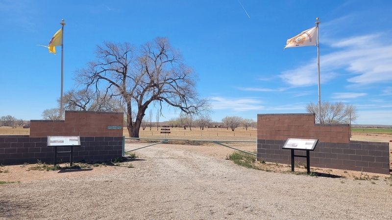
3. The entrance to the Bosque Redondo Memorial at Fort Sumner Historic Site
Another marker is no longer nearby. Old Fort Sumner and “Billy the Kid’s” Grave (was within shouting distance of this marker but has been replaced with another marker now near it).
Also see . . . Fort Sumner. Wikipedia
Fort Sumner was a military fort in New Mexico Territory charged with the internment of Navajo and Mescalero Apache populations from 1863 to 1868 at nearby Bosque Redondo.(Submitted on April 5, 2025, by James Hulse of Medina, Texas.)
Credits. This page was last revised on April 5, 2025. It was originally submitted on April 5, 2025, by James Hulse of Medina, Texas. This page has been viewed 202 times since then and 35 times this year. Photos: 1, 2, 3. submitted on April 5, 2025, by James Hulse of Medina, Texas.
