Peterboro in Madison County, New York — The American Northeast (Mid-Atlantic)
The Land Office
Photographed by Susan A. Dalaba, April 25, 2022
1. The Land Office Marker
Inscription.
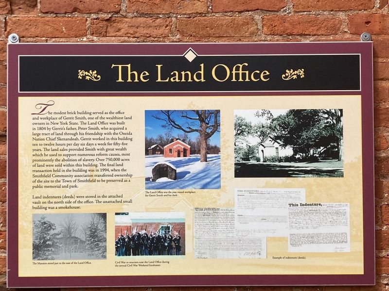
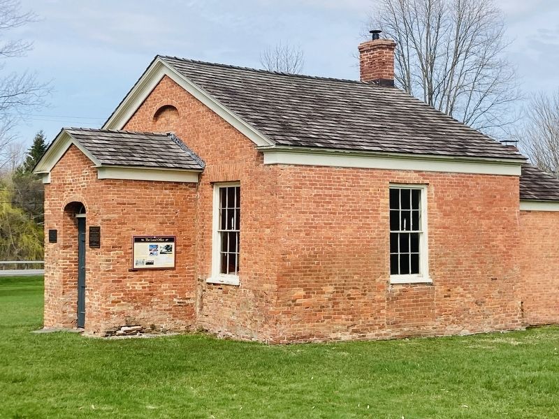
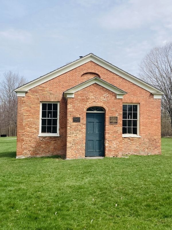
The Land Office. . The modest brick building served as the office and workplace of Gerrit Smith, one of the wealthiest land owners in New York State. The Land Office was built in 1804 by Gerrit’s father, Peter Smith, who acquired a large tract of land through his friendship with the Oneida Nation Chief Skenandoah. Gerrit worked in the building ten to twelve hours per day six days a week for fifty-five years. The land sales provided Smith with great wealth which he used to support numerous reform causes, most prominently the abolition of slavery. Over 750,000 acres of land were sold within this building. The final land transaction held in the building was in 1994, when the Smithfield Community Association transferred ownership to the Town of Smithfield to be preserved as a public memorial and park. , Land indentures (deeds) were stored in the attached vault on the north side of the office. The unattached small building was a smokehouse.
The modest brick building served as the office and workplace of Gerrit Smith, one of the wealthiest land owners in New York State. The Land Office was built in 1804 by Gerrit’s father, Peter Smith, who acquired a large tract of land through his friendship with the Oneida Nation Chief Skenandoah. Gerrit worked in the building ten to twelve hours per day six days a week for fifty-five years. The land sales provided Smith with great wealth which he used to support numerous reform causes, most prominently the abolition of slavery. Over 750,000 acres of land were sold within this building. The final land transaction held in the building was in 1994, when the Smithfield Community Association transferred ownership to the Town of Smithfield to be preserved as a public memorial and park.
Land indentures (deeds) were stored in the attached vault on the north side of the office. The unattached small building was a smokehouse.
75° 41.221′ W. Marker is in Peterboro, New York, in Madison County. It is on Oxbow Road (County Route 25), on the right when traveling north. Located on the side of the Peterboro Land Office. Touch for map. Marker is at or near this postal address: 5304 Oxbow Road, Peterboro NY 13134, United States of America. Touch for directions.
Regionally, this marker is in Upstate New York, specifically in Central New York, and in the Syracuse Metropolitan Area. It is also in the American Northeast and in the Mid-Atlantic. Globally, it is in North America, the Western Hemisphere, the Western World, and the Anglosphere. Historically, it finds itself in what was once the Haudenosaunee (Iroquois) Confederacy, New Netherland, and one of the original Thirteen Colonies.
Credits. This page was last revised on April 7, 2025. It was originally submitted on April 5, 2025, by Susan A. Dalaba of Cortland, New York. This page has been viewed 104 times since then and 10 times this year. Photos:1, 2, 3, 4. submitted on April 5, 2025, by Susan A. Dalaba of Cortland, New York. • Andrew Ruppenstein was the editor who published this page.