Madison in South Central Region, Connecticut — The American Northeast (New England)
Hammonassett State Park — Timeline
Photographed by Conrad Ward, November 3, 2024
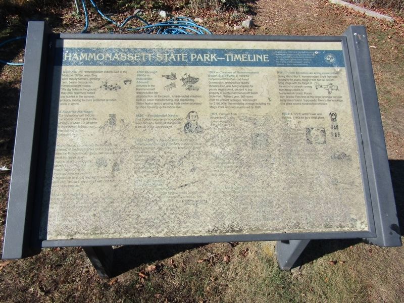
1. Hammonassett State Park - Timeline Marker
1600 AD: The Hammonassett Indians lived in the Madison, Clinton area. They were mostly farmers, growing corn, beans and squash. Hammonassett means, "We dig holes in the ground." They also clammed, fished, and hunted in the summer, probably moved to more protected wooded areas in winter.
A Surprise Marriage:
The Hammonassett Indians lost control of the land to the Mohegans when the daughter of their leader, Sebaguenosh married Uncas, the Mohegan leader.
(indecipherable text)
1700 through 1800s — Industries Abound
Activities in the Hammonassett area included fish oil production on the beach, lumber-related industries such as paper manufacturing, and shipbuilding. Clinton harbor was a growing trade center accessed by ships traveling up the Indian River.
1826 — Presidential Name:
East Guilford became an independent town and was renamed Madison as a tribute to our 4th president.
(indecipherable text)
1919 — Creation of Hammonassett Beach State Park:
In 1919 the Connecticut State Park and Forest Commission, realizing how quickly shoreline land was being acquired for private development, decided to buy property
this page online
WWII — Park becomes an army reservation
During World War II, Hammonassett State Park was closed to the public. Meig's Point had an aircraft firing range with the target at the end of a catwalk running from Meig's Island to Menunkatuck Island. Planes from Bradley Field fired at the target and flew out over Long Island Sound. Supposedly, there is the wreckage of a plane several hundred feet offshore.
1954: A 125ft water tower was installed, it was hit by a small plane in 1954.
(indecipherable text)
Erected by Connecticut Department of Environmental Protection.
Topics. This historical marker is listed in these topic lists: Indigenous Peoples and Communities • Industry & Commerce • Parks & Recreational Areas • War, World II.
Location. 41° 15.142′ N, 72° 32.776′ W. Marker is unreadable. Marker is in Madison in South Central Region, Connecticut. It can be reached from
Photographed by Conrad Ward, November 3, 2024
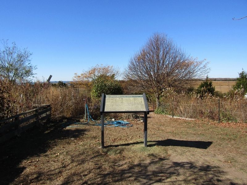
2. Hammonassett State Park — Timeline Marker

Regionally, this marker is in the Connecticut River Valley, on the Connecticut Shoreline, and in Greater New Haven. It is also in the American Northeast, in New England, and on the Eastern Seaboard. Globally, it is in the North Atlantic Region, North America, the Western Hemisphere, the Western World, and the Anglosphere. Historically, it finds itself in what was once New Haven County and also one of the original Thirteen Colonies.
Other nearby markers. At least 8 other markers are within 2 miles of this location, measured as the crow flies: The Hammonassetts (approx. 0.2 miles away); Hammonasset Beach State Park (approx. ¾ mile away); War of 1812 in Clinton (approx. 1.7 miles away); The Coastal Nature Walk (approx. 1.8 miles away); A Seafaring Town (approx. 2.1 miles away); 9/11 Memorial (approx. 2.1 miles away); Afghanistan War August 15, 2021 Memorial (approx. 2.1 miles away); Armed Forces Memorial (approx. 2.1 miles away). Touch for a list and map of all markers in Madison.
Credits. This page was last revised on May 19, 2026. It was originally submitted on April 5, 2025, by Conrad Ward of Guilford, Connecticut. This page has been viewed 174 times since then and 38 times this year. Photos: 1, 2. submitted on April 5, 2025, by Conrad Ward of Guilford, Connecticut. • Andrew Ruppenstein was the editor who published this page.
