Lamy in Santa Fe County, New Mexico — The American Mountains (Southwest)
Southern Rockies
⎯⎯⎯
Galisteo Basin
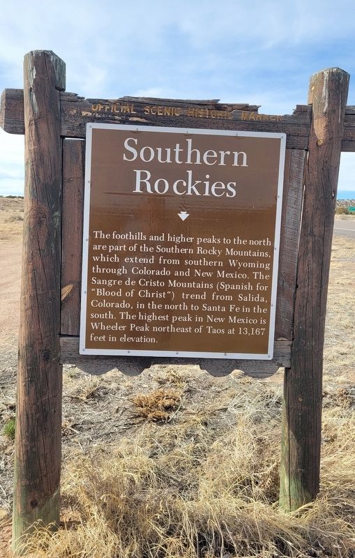
Photographed by James Hulse, March 24, 2025
1. Southern Rockies / Galisteo Basin Marker
Reverse Side
Erected by New Mexico Historic Preservation Division.
Topics. This historical marker is listed in these topic lists: Environment • Horticulture & Forestry • Indigenous Peoples and Communities.
Location. 35° 28.23′ N, 105° 54.256′ W. Marker is in Lamy, New Mexico, in Santa Fe County. It is at the intersection of U.S. 285 and Old Lamy Trail, on the left when traveling north on U.S. 285. The marker is located along the highway. Touch for map. Marker is in this post office area: Lamy NM 87540, United States of America. Touch for directions.

Regionally, this marker is in Northern New Mexico. It is also in the American Southwest, in the Mountain West, and on the Santa Fe Trail Corridor. Globally, it is in North America, the Rocky Mountains, the Western Hemisphere, the Western World, and the Anglosphere. Historically, it finds itself in what was once New Spain and also the Republic
this page online
Other nearby markers. At least 8 other markers are within 11 miles of this marker, measured as the crow flies: Galisteo Basin / Southern Rockies (here, next to this marker); Galisteo Pueblo (approx. 5.7 miles away); Route 66 (approx. 6½ miles away); Hispano New Mexicans in the US Civil War (approx. 6.9 miles away); Cañoncito at Apache Canyon (approx. 6.9 miles away); Seton Village (approx. 9.4 miles away); Glorieta Pass Battlefield (approx. 10.9 miles away); a different marker also named Glorieta Pass Battlefield (approx. 10.9 miles away).
Another marker is no longer nearby. Seton Village (was approx. 9.4 miles away but has been confirmed missing).

Photographed by James Hulse, March 24, 2025
2. Galisteo Basin Side of the Marker
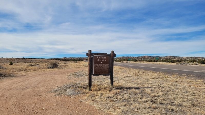
Photographed by James Hulse, March 24, 2025
3. The view of the marker along the highway
Credits. This page was last revised on April 13, 2025. It was originally submitted on April 12, 2025, by James Hulse of Medina, Texas. This page has been viewed 128 times since then and 16 times this year. Photos: 1, 2, 3. submitted on April 13, 2025, by James Hulse of Medina, Texas.
