Clyde in Wayne County, New York — The American Northeast (Mid-Atlantic)
Block House Road
Photographed by Mira Earls, May 27, 2023
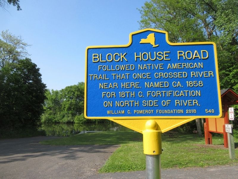
1. Block House Road Marker
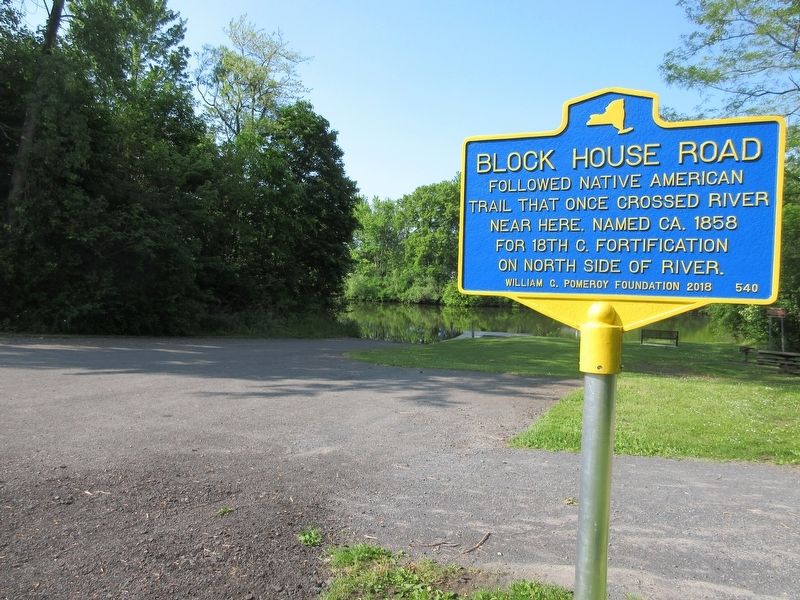
Followed Native American trail that once crossed river near here. Named ca. 1858 for 18th c. fortification on north side of river.
Erected 2018 by William G. Pomeroy Foundation. (Marker Number 540.)
Topics and series. This historical marker is listed in these topic lists: Forts and Castles • Indigenous Peoples and Communities • Waterways & Vessels. In addition, it is included in the William G. Pomeroy Foundation series list. A significant historical year for this entry is 1858.
Location. 43° 4.783′ N, 76° 52.123′ W. Marker is in Clyde, New York, in Wayne County. It is at the intersection of Water Street and Cayuga Street, on the right when traveling west on Water Street. Marker is in the Lauraville Landing area near the Empire State Trail head. Touch for map. Marker is at or near this postal address: 2 Meadow St, Clyde NY 14433, United States of America. Touch for directions.

Regionally, this marker is in Upstate New York, specifically in Western New York, in the Finger Lakes, and in the Rochester Metropolitan Area. It is also in the American Northeast and in the Mid-Atlantic. Globally, it is in North
this page online
Other nearby markers. At least 8 other markers are within walking distance of this marker: Clyde River (within shouting distance of this marker); West Shore RR (about 300 feet away, measured in a direct line); The Erie Canal in Clyde (about 600 feet away); Erie Canal (about 600 feet away); Clyde Historical Highlights (about 800 feet away); George Washington (about 800 feet away); Revolutionary War (about 800 feet away); a different marker also named Revolutionary War (approx. 0.2 miles away). Touch for a list and map of all markers in Clyde.
Photographed by Mira Earls, May 27, 2023
2. Block House Road Marker
Credits. This page was last revised on April 14, 2025. It was originally submitted on May 28, 2023, by Mira Earls of Cortland, New York. This page has been viewed 256 times since then and 22 times this year. Last updated on April 13, 2025, by Susan A. Dalaba of Cortland, New York. Photos: 1, 2. submitted on May 28, 2023, by Mira Earls of Cortland, New York. • Devry Becker Jones was the editor who published this page.
