Near Weatherford in Parker County, Texas — The American South (West South Central)
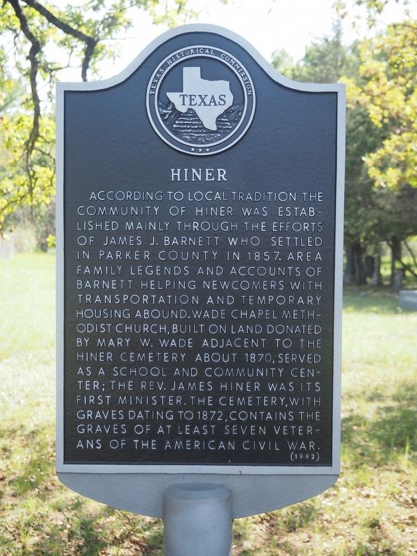
Hiner
Photographed by Matthew G French, April 13, 2025
1. Hiner Marker
Erected 1992 by Texas Historical Commission. (Marker Number 2490.)
Topics. This historical marker is listed in these topic lists: Cemeteries & Burial Sites • Religion & Religious Structures • Settlements & Settlers • War, US Civil. A significant historical year for this entry is 1857.
Location. 32° 37.967′ N, 97° 54.346′ W. Marker is near Weatherford, Texas, in Parker County. It is on Hiner Road south of Old Dennis Rd, on the right when traveling east. Touch for map. Marker is at or near this postal address: 300 Hiner Rd, Weatherford
this page online

Regionally, this marker is in the Prairies & Lakes Region and in the Dallas-Fort Worth Metropolitan Area. Globally, it is in North America, a Gulf of Mexico state, the Western Hemisphere, the Western World, and the Anglosphere. Historically, it finds itself in what was once New Spain, the Republic of Texas, and one of the Confederate States of America.
Other nearby markers. At least 8 other markers are within 10 miles of this marker, measured as the crow flies: Brock Methodist Church (approx. 3.6 miles away); Original Plant of Acme Brick Company (approx. 7½ miles away); Spring Creek Community (approx. 7.6 miles away); Colonel Alfred G. Cooper (approx. 7.6 miles away); Poe Prairie (approx. 7.8 miles away); Parker County Poor Farm and Cemetery (approx. 8½ miles away); Greenwood Community (approx. 8.6 miles away); Soda Springs (approx. 9.2 miles away). Touch for a list and map of all markers in Weatherford.

Photographed by Matthew G French, April 13, 2025
2. Hiner Marker
Photographed by Matthew G French, April 13, 2025
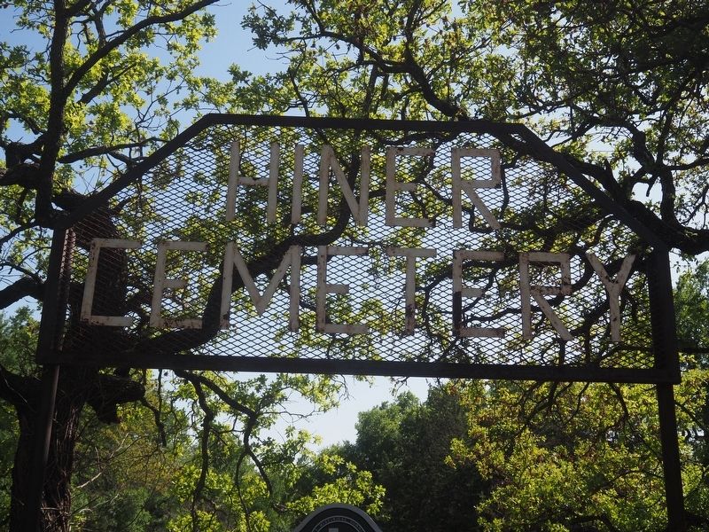
3. Hiner Cemetery Sign

Photographed by Matthew G French, April 13, 2025
4. Hiner Cemetery Graves
Credits. This page was last revised on April 15, 2025. It was originally submitted on April 13, 2025, by Matthew G French of Fort Worth, Texas. This page has been viewed 221 times since then and 61 times this year. Photos: 1, 2, 3, 4. submitted on April 13, 2025, by Matthew G French of Fort Worth, Texas. • James Hulse was the editor who published this page.
