
Near Lafayette in Montgomery County, Virginia — The American South (Mid-Atlantic)
Montgomery White Sulphur Springs
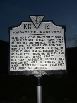
Photographed by Kevin W., November 24, 2007
1. Montgomery White Sulphur Springs Marker
Erected 1971 by Virginia Historic Landmarks Commission. (Marker Number KG-12.)
Topics and series. This historical marker is listed in these topic lists: Military • Science & Medicine • War, US Civil. In addition, it is included in the Virginia Department of Historic Resources (DHR) series list. A significant historical year for this entry is 1873.
Location. 37° 14.353′ N, 80° 13.513′ W. Marker is near Lafayette, Virginia, in Montgomery County. It is on Northbound Rest Area (Interstate 81 at milepost 129), on the right when traveling north. Touch for map. Marker is at or near this postal address: 129 Interstate 81 N, Elliston VA 24087, United States of America. Touch for directions.

Regionally, this marker is in
this page online
Other nearby markers. At least 8 other markers are within 7 miles of this marker, measured as the crow flies: Bow String Arch Truss (within shouting distance of this marker); The “Bowstring” Truss Bridge (within shouting distance of this marker); Montgomery County / Roanoke County (approx. 1.8 miles away); Fotheringay (approx. 3.4 miles away); Fort Vause (approx. 5.1 miles away); American Revolution on the Frontier (approx. 6.2 miles away); Fort Lewis (approx. 6.3 miles away); a different marker also named Fort Lewis (approx. 6.3 miles away).
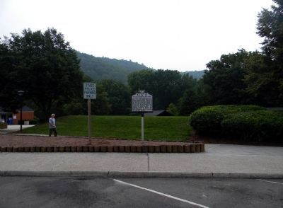
Photographed by Paul Crumlish, July 19, 2011
2. Wide view of the Montgomery White Sulphur Springs Marker
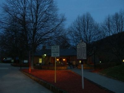
Photographed by Kevin W., November 24, 2007
3. Night View of the Montgomery White Sulphur Springs Marker
Credits. This page was last revised on April 16, 2025. It was originally submitted on November 29, 2007, by Kevin W. of Stafford, Virginia. This page has been viewed 3,307 times since then and 83 times this year. Last updated on April 16, 2025, by Carl Gordon Moore Jr. of North East, Maryland. Photos: 1. submitted on November 29, 2007, by Kevin W. of Stafford, Virginia. 2. submitted on July 20, 2011, by PaulwC3 of Northern, Virginia. 3. submitted on November 29, 2007, by Kevin W. of Stafford, Virginia. • Devry Becker Jones was the editor who published this page.
