Near Nageezi in San Juan County, New Mexico — The American Mountains (Southwest)
Pueblo Alto Trail
Photographed by James Hulse, March 26, 2025
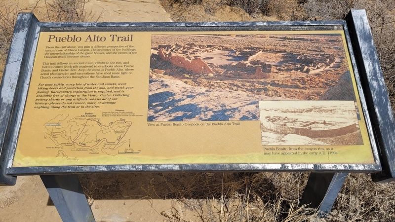
1. Pueblo Alto Trail Marker
This trail follows an ancient route, climbs to the rim, and follows cairns (rock-pile markers) to overlooks above Pueblo Bonito and Chetro Ketl. Atop the mesa is Pueblo Alto, where aerial photography and excavations have shed more light on Chaco's connections throughout the San Juan Basin.
For your safety, carry lots of water and snacks, wear hiking boots and protection from the sun, and watch your footing. Backcountry registration is required, and is available free of charge at the Visitor Center. Collecting pottery sherds or any artifacts robs us all of our history - please do not remove, move, or damage anything along the trail or in the sites.
Captions
(Photo #1) View at Pueblo Bonito Overlook on the Pueblo Alto Trail
(Photo #2) Pueblo Bonito from the canyon rim, as it may have appeared in the early A.D. 1100s
Erected by Chaco Culture National Historical Park, National Park Service and
this page online
Topics. This historical marker is listed in these topic lists: Anthropology & Archaeology • Parks & Recreational Areas.
Location. 36° 3.918′ N, 107° 58.195′ W. Marker is near Nageezi, New Mexico, in San Juan County. It is on Navajo Service Route 14 (Pueblo Alto Trail) ¾ mile west of North Side Loop. The marker is located on the north side of the Kin Kletso archeological site at the start of the trail. Touch for map. Marker is in this post office area: Nageezi NM 87037, United States of America. Touch for directions.

Regionally, this marker is in the Navajo Nation and in the San Juan Basin. It is also in the American Southwest, in the Mountain West, on the Colorado Plateau, and at the Four Corners. Globally, it is in North America, the Rocky Mountains, the Western Hemisphere, the Western World, and the Anglosphere. Historically, it finds itself in what was once New Spain and also the territory of the Ancestral Puebloans.
Other nearby markers. At least 8 other markers are within 5 miles of this marker, measured as the crow flies:
Photographed by James Hulse, March 26, 2025
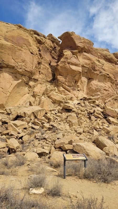
2. The Pueblo Alto Trail and Marker
The historic trail runs along the crack up the canyon wall.
Also see . . . The Center of an Ancient World. National Park Service, U.S. Department of the Interior
Explore the monumental structures and breathtaking landscape at Chaco, a thriving regional center for the ancestral Pueblo people from 850 to 1250 CE (Common Era), through guided tours, hiking & biking trails, evening campfire talks, night sky programs, and more. Chaco Canyon is a sacred and deeply personal place for many Indigenous peoples throughout the Southwest. Please visit with respect.(Submitted on April 17, 2025, by James Hulse of Medina, Texas.)
Photographed by James Hulse, March 26, 2025
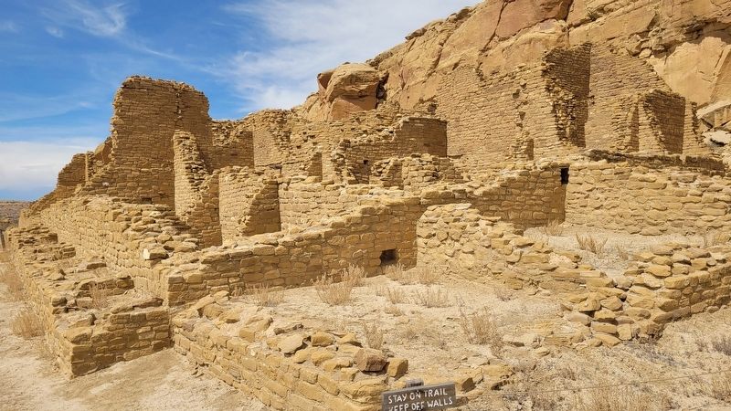
3. Kin Kletso archaeological site
Credits. This page was last revised on April 17, 2025. It was originally submitted on April 16, 2025, by James Hulse of Medina, Texas. This page has been viewed 129 times since then and 21 times this year. Photos: 1, 2, 3. submitted on April 17, 2025, by James Hulse of Medina, Texas.
