Ashtabula in Ashtabula County, Ohio — The American Midwest (Great Lakes)
The Recovery

Photographed by Craig Doda, April 12, 2025
1. The Recovery Marker
Today both commercial and pleasure craft are returning to the river and we have a healthier community of fish species finding the river more hospitable.
The removal of contaminated sediments eliminated the likelihood of the contaminants migrating from the river into Lake Erie, protecting our greatest aquatic resource.
The ultimate goal is to restore all the impaired uses of the Ashtabula River and Harbor and remove Ashtabula from the list of Great Lakes Areas of Concern.
The Ashtabula River Partnership is used as a model approach to environmental cleanup holding great promise as an example for addressing complex projects.
Erected by The Ashtabula River Partnership.
Topics. This historical marker is listed in these topic lists: Environment • Waterways & Vessels.
Location. 41° 54.028′ N, 80° 47.893′ W. Marker is in Ashtabula, Ohio, in Ashtabula County. It is at the intersection of Bridge Street and Morton Drive, on the right when traveling west on Bridge Street. Touch for map. Marker is at or near this postal address: 983 Bridge St, Ashtabula OH 44004, United
this page online

Regionally, this marker is on the Lake Erie Shore and in the Western Reserve. It is also in the American Midwest. Globally, it is in North America, on the Great Lakes, in the Western Hemisphere, in the Western World, and in the Anglosphere. Historically, it finds itself in what was once the Haudenosaunee (Iroquois) Confederacy, the territory of the Mississippian Culture, and the Northwest Territory.
Other nearby markers. At least 8 other markers are within walking distance of this marker: The Ashtabula River (here, next to this marker); Restoration & Revitalization (here, next to this marker); A Successful River Restoration (here, next to this marker); Ashtabula Harbor Commercial District (within shouting distance of this marker); 1001 (within shouting distance of this marker); 1003 (within shouting distance of this marker); 1005 (within shouting distance of this marker); 1006 (within shouting distance of this marker). Touch for a list and map of all markers in Ashtabula.
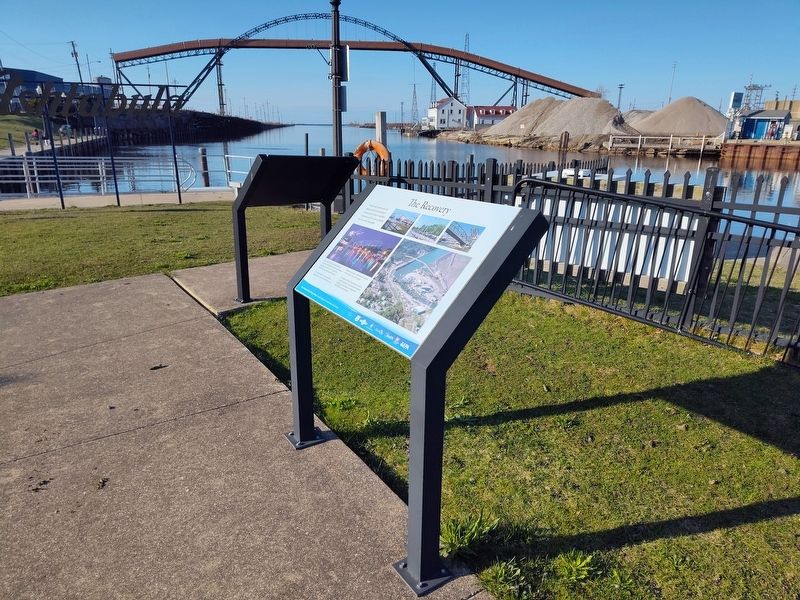
Photographed by Craig Doda, April 12, 2025
2. The Recovery Marker
Credits. This page was last revised on May 11, 2025. It was originally submitted on April 19, 2025, by Craig Doda of Napoleon, Ohio. This page has been viewed 99 times since then and 13 times this year. Photos: 1, 2. submitted on April 19, 2025, by Craig Doda of Napoleon, Ohio. • Devry Becker Jones was the editor who published this page.
