Sodus in Wayne County, New York — The American Northeast (Mid-Atlantic)
Underground RR
| — | Legends & Lore | — |
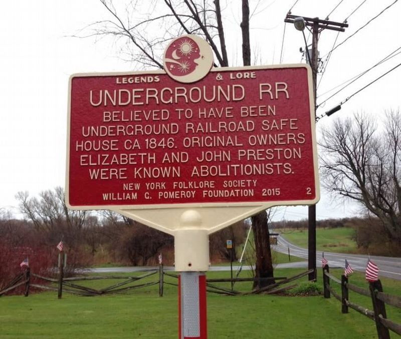
1. Underground RR Marker
Erected 2015 by William G. Pomeroy Foundation, New York Folklore Society. (Marker Number 2.)
Topics and series. This historical marker is listed in these topic lists: Abolition & Underground RR • African Americans • Anthropology & Archaeology. In addition, it is included in the William G. Pomeroy Foundation Legends & Lore Series series list. A significant historical year for this entry is 1846.
Location. Marker has been reported missing. It was located near 43° 15.92′ N, 77° 1.432′ W. Marker was in Sodus, New York, in Wayne County. It was at the intersection of Great Lakes Seaway Trail (County Road 101) and Halcus Road on Great Lakes Seaway Trail. Touch for map. Marker was at or near this postal address: 7563 Lake Rd, Sodus NY 14551, United States of America. Touch for directions.

Regionally, this marker was in Upstate New York, specifically in Western New York, in the Finger Lakes, and in the Rochester Metropolitan Area. It was also in the American Northeast and in the
this page online
Other nearby markers. At least 8 other markers are within 2 miles of this location, measured as the crow flies: Cobblestone Architecture (about 500 feet away, measured in a direct line); Black Community (approx. 0.7 miles away); Patriot Burials (approx. 1.3 miles away); The Sodus Point Coal Trestle (approx. 1.6 miles away); Historic Sodus Point Mural (approx. 1.6 miles away); Blessing of the Murals (approx. 1.9 miles away); The Battle of Sodus Point (approx. 1.9 miles away); Native American Fishing Mural (approx. 1.9 miles away). Touch for a list and map of all markers in Sodus.
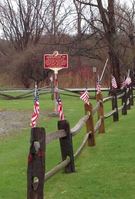
2. Underground RR Marker

Photographed by Susan A. Dalaba, April 17, 2025
3. Missing - Underground RR Marker
Credits. This page was last revised on May 2, 2025. It was originally submitted on January 24, 2019, by Deryn Pomeroy of Syracuse, New York. This page has been viewed 561 times since then and 30 times this year. Last updated on April 21, 2025, by Susan A. Dalaba of Cortland, New York. Photos: 1, 2. submitted on January 24, 2019, by Deryn Pomeroy of Syracuse, New York. 3. submitted on April 21, 2025, by Susan A. Dalaba of Cortland, New York. • Devry Becker Jones was the editor who published this page.
