Near Monticello in San Juan County, Utah — The American Mountains (Southwest)
Cave Spring Trail
Photographed by James Hulse, March 29, 2025
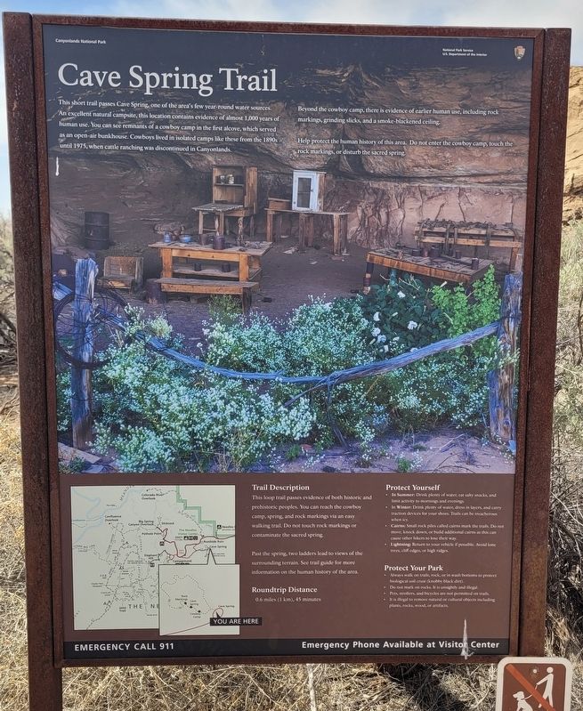
1. Cave Spring Trail Marker
Beyond the cowboy camp, there is evidence of earlier human use, including rock markings, grinding slicks, and a smoke-blackened ceiling.
Help protect the human history of this area. Do not enter the cowboy camp, touch the rock markings, or disturb the sacred spring.
Trail Description
This loop trail passes evidence of both historic and prehistoric peoples. You can reach the cowboy camp, spring, and rock markings via an easy walking trail. Do not touch rock markings or contaminate the sacred spring.
Past the spring, two ladders lead to views of the surrounding terrain. See trail guide for more information on the human history of the area.
Roundtrip Distance
0.6 miles (1 km), 45 minutes
Protect Yourself
this page online
• In Winter: Drink plenty of water, dress in layers, and carry traction devices for your shoes. Trails can be treacherous when icy.
• Cairns: Small rock piles called cairns mark the trail. Do not move, knock down, or build additional cairns as this can cause other hikers to lose their way.
• Lightning: Return to your vehicle if possible. Avoid lone trees, cliff edges, or high ridges.
Protect Your Park
• Always walk on trails, rock, or in wash bottoms so protect biological soil crust (knobby black dirt).
• Do not mark on rocks. It is unsightly and illegal.
• Pets, strollers, and bicycles are not permitted on trails.
• It is illegal to remove natural or cultural objects including plants, rocks, wood, or artifacts.
Erected by Canyonlands National Park.
Topics. This historical marker is listed in these topic lists: Anthropology & Archaeology • Parks & Recreational Areas. A significant historical year for this entry is 1975.
Location. 38° 9.433′ N, 109° 45.102′ W. Marker is near Monticello, Utah, in San
Photographed by James Hulse, March 29, 2025
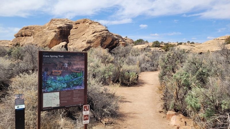
2. The Cave Spring Trail Marker and Trailhead

Regionally, this marker is in Canyon Country. It is also in the American Mountain West, on the Colorado Plateau, and at the Four Corners. Globally, it is in North America, the Western Hemisphere, the Western World, and the Anglosphere. Historically, it finds itself in what was once New Spain, the territory of the Ancestral Puebloans, and Mexico’s Alta California.

Other nearby markers. At least 8 other markers are within 15 miles of this marker, measured as the crow flies: Water to Live By (about 500 feet away, measured in a direct line); Stone Storehouse Trail (approx. 0.7 miles away); Stephen Tyng Mather (approx. 0.9 miles away); Bates E. Wilson (approx. 0.9 miles away); Wooden Shoe Arch (approx. 1.7 miles away); The George Albert Smith Arch (approx. 3.3 miles away); Protecting Wilderness (approx. 12.2 miles away); Tracks in the Canyon
Photographed by James Hulse, March 29, 2025
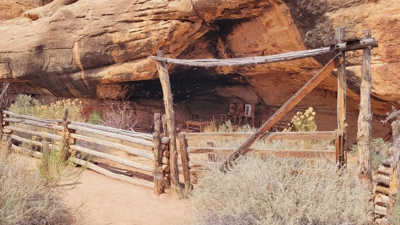
3. The view of the Cowboy Camp along the trail

Photographed by James Hulse, March 29, 2025
4. Closeup of the Cowboy Camp

Photographed by James Hulse, March 29, 2025
5. The Cave Spring

Photographed by James Hulse, March 29, 2025
6. A section of the cave
Credits. This page was last revised on April 24, 2025. It was originally submitted on April 24, 2025, by James Hulse of Medina, Texas. This page has been viewed 126 times since then and 20 times this year. Photos: 1, 2, 3, 4, 5, 6. submitted on April 24, 2025, by James Hulse of Medina, Texas.
