Penn Township near Jeannette in Westmoreland County, Pennsylvania — The American Northeast (Mid-Atlantic)
Pathways for Commerce and Conquest:
Traversing La Belle Rivere (The Ohio River)

Photographed by Bradley Owen, April 9, 2025
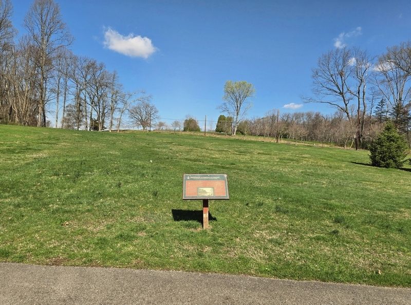
1. Pathways for Commerce and Conquest: Marker
Water transportation was vital to the developing frontier economy. Native Americans and Europeans, particularly the French, used the waterways to transport goods such as furs to ports for shipping.
Boats included flatboats, bateaux, dugout canoes and canoes made from tree bark. Flatboats and bateaux, made from sawed wood, were used to transport provisions. They were well suited for the larger rivers and lakes but useless on the smaller waterways.
Bark canoes, first built by the Native Americans, were more versatile than flatboats or bateaux. Many different sizes could be used depending on water depth and maneuverability. Bark canoes were built for single travelers, small-hunting parties, or large groups traveling to battle. In areas where elm or birch bark was not available, dugout canoes were used. These were constructed by hollowing out a large tree and shaping it to run smoothly through the water.
(Caption):
Bark canoes came in a variety of sizes and were used to move people as well as goods.
Courtesy Thomas Davies Collection, National Gallery, Ottawa, Ontario, Canada
Topics. This historical marker is
this page online
Location. 40° 21.279′ N, 79° 37.267′ W. Marker is near Jeannette, Pennsylvania, in Westmoreland County. It is in Penn Township. It is on Bushy Run Road (Pennsylvania Route 993) 0.1 miles west of Chestnut Lane, on the left when traveling west. Marker is located at a parking area south of Bushy Run Battlefield. Touch for map. Marker is in this post office area: Jeannette PA 15644, United States of America. Touch for directions.

Regionally, this marker is in the Laurel Highlands and in Greater Pittsburgh. It is also in the American Northeast, in the Mid-Atlantic, in Appalachia, and specifically in Northern Appalachia. Globally, it is in North America, the Western Hemisphere, the Western World, and the Anglosphere. Historically, it finds itself in what was once the Viceroyalty of New France, the Haudenosaunee (Iroquois) Confederacy, and one of the original Thirteen Colonies.
Other nearby markers. At least 8 other markers are within walking distance of this marker:
Photographed by Bradley Owen, April 9, 2025
2. Pathways for Commerce and Conquest: Marker
Credits. This page was last revised on April 26, 2025. It was originally submitted on April 25, 2025, by Bradley Owen of Morgantown, West Virginia. This page has been viewed 102 times since then and 15 times this year. Photos: 1, 2. submitted on April 25, 2025, by Bradley Owen of Morgantown, West Virginia.
