Near Moab in San Juan County, Utah — The American Mountains (Southwest)
There's Something in the Air

Photographed by James Hulse, March 30, 2025
1. There's Something in the Air Marker
Protecting scenic views is a priority for the National Park Service. Canyonlands is an important part of a scientific network that monitors dust and air pollution and how they impact the natural world. This research will guide efforts to preserve these scenic views for future generations.
Captions
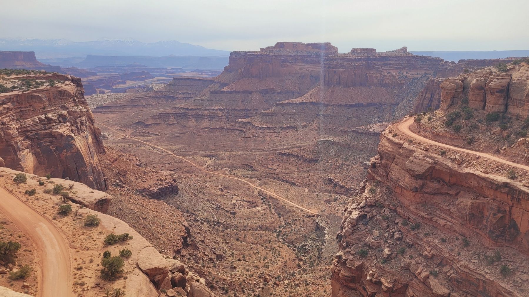
(Photo #1) Visibility on a clear day may reach 152 miles (245 km), but that can change quickly: these photos were taken within 24 hours of each other.
(Photo #2) Prevailing winds carry dust and pollutants to this area.
Erected by Canyonlands National Park.
Topics. This historical marker is listed in these topic lists: Environment • Parks & Recreational Areas.
Location. 38° 27.589′ N, 109° 49.209′ W. Marker is near Moab,
this page online

Regionally, this marker is in Canyon Country. It is also in the American Mountain West, on the Colorado Plateau, and at the Four Corners. Globally, it is in North America, the Western Hemisphere, the Western World, and the Anglosphere. Historically, it finds itself in what was once New Spain, the territory of the Ancestral Puebloans, and Mexico’s Alta California.

Other nearby markers. At least 8 other markers are within 9 miles of this marker, measured as the crow flies: Indian Ricegrass (within shouting distance of this marker); The Neck (approx. half a mile away); The Origins Of a Name (approx. 4.4 miles away); The Legend of Dead Horse Point (approx. 4.4 miles away); Aztec Butte (approx. 5.7 miles away); John Wesley Powell on the Green River (approx. 6.7 miles away); Green River Overlook
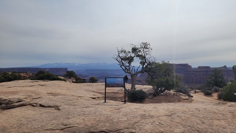
Photographed by James Hulse, March 30, 2025
2. There's Something in the Air Marker
Photographed by James Hulse, March 30, 2025
3. The view of the canyon behind the marker
Credits. This page was last revised on April 26, 2025. It was originally submitted on April 25, 2025, by James Hulse of Medina, Texas. This page has been viewed 110 times since then and 22 times this year. Photos: 1, 2, 3. submitted on April 26, 2025, by James Hulse of Medina, Texas.
