
Williamsbridge in the Bronx in Bronx County, New York — The American Northeast (Mid-Atlantic)
Gun Hill Playground
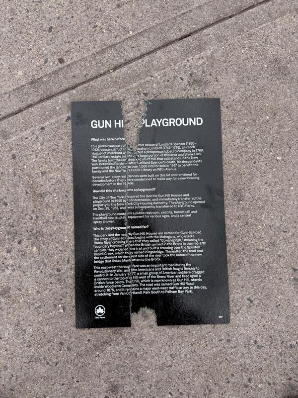
Photographed by Devry Becker Jones (CC0), April 19, 2025
1. Gun Hill Playground Marker
At the time the marker was photographed, it was heavily damaged and was lying on the sidewalk.
What was here before?
This parcel was part of the former estate of Lorillard Spencer (1860-1912), descendant of Pierre Abraham Lorillard (1742-1776), a French Huguenot merchant who started a prosperous tobacco company in 1760. The Lorillard estate made up a large portion of this area and Bronx Park. The family built the landmarked snuff mill that still stands in the New York Botanical Gardens. After Lorillard Spencer's death, his descendants partitioned the land into over 1,000 lots for sale in 1917 to benefit the family and the New York Public Library on Fifth Avenue.
Several two-story residences were built on this lot and remained for decades before they were condemned to make way for a new housing development in the 1940s.
How did this site become a playground?
The City of New York acquired the land for Gun Hill Road and playground in 1948 by condemnation, and immediately transferred the property to the New York City Housing Authority. The playground opened on Dec. 29, 1952, and was subsequently transferred to NYC Parks.
The playground contains a public restroom, seating, basketball and handball courts,
this page online
Who is this playground named for?
This park and the nearby Gun Hill Houses are named for Gun Hill Road. The story of Gun Hill Road begins with the Mohegans, who used a Bronx River crossing here that they called "Cowangongh," meaning the "boundary beyond." When the British arrived in the Bronx in the mid-17th century, they widened the trail and built a crossing over the Spuyten Duyvil Creek, which they named Kingsbridge. Thereafter, the road and the settlement on the west side of the river took the name of the new bridge that linked Manhattan to the Bronx.
This east-west thoroughfare was an important road during the Revolutionary War, and the Americans and British fought fiercely to control it. In January 1777, a small group of American soldiers dragged a cannon to the top of a hill west of the Bronx River and fired up on a British force below. That hill, which is now known as Gun Hill, stands inside Woodlawn Cemetery. The road was named Gun Hill Road around 1875, and it remains a major east-west traffic artery to this day, stretching from Van Cortland Park South to
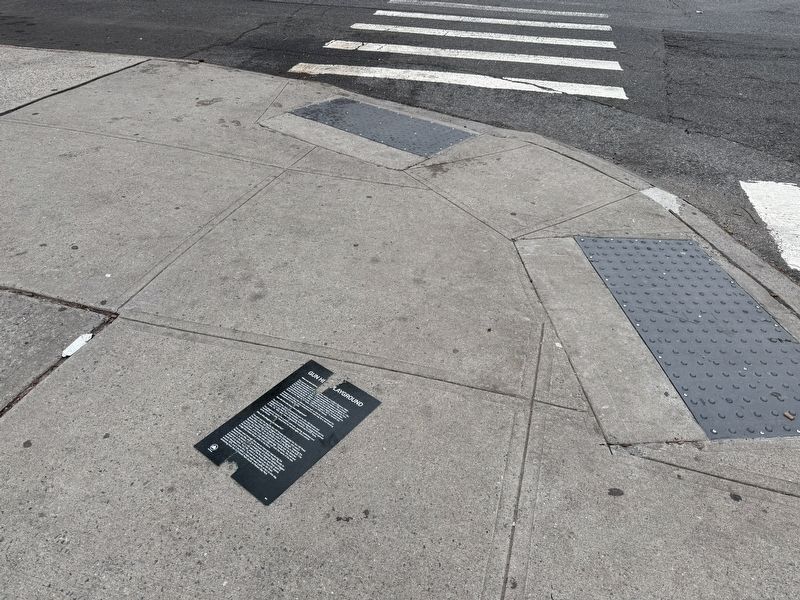
Erected by NYC Parks. (Marker Number 300.)
Topics and series. This historical marker is listed in these topic lists: Parks & Recreational Areas • Roads & Vehicles • Settlements & Settlers • War, US Revolutionary. In addition, it is included in the NYC Parks series list. A significant historical month for this entry is January 1777.
Location. 40° 52.497′ N, 73° 51.952′ W. Marker has been damaged. Marker is in Bronx, New York, in Bronx County. It is in Williamsbridge. It is at the intersection of Cruger Avenue and Magenta Street, on the left when traveling south on Cruger Avenue. Touch for map. Marker is at or near this postal address: 3365 Cruger Ave, Bronx NY 10467, United States of America. Touch for directions.

Regionally, this marker is in New York City. It is also in the American Mid-Atlantic. Globally, it is in the North Atlantic Region, the Western Hemisphere, and the Anglosphere. Historically, it finds itself in what was once one of the original Thirteen Colonies.
Other nearby markers. At least 8 other markers are within walking distance of this location: Marcus Garvey Square (approx. 0.2

Photographed by Devry Becker Jones (CC0), April 19, 2025
3. Gun Hill Playground
This section of fencing is the closest section of the park where the marker was found.
Another marker is no longer nearby. Williamsbridge Square (was approx. ¼ mile away but has been replaced with another marker now near it).

Photographed by Devry Becker Jones (CC0), April 19, 2025
4. NYC Parks signage for Gun Hill Playground
Credits. This page was last revised on April 25, 2025. It was originally submitted on April 25, 2025, by Devry Becker Jones of Washington, District of Columbia. This page has been viewed 266 times since then and 52 times this year. Photos: 1, 2, 3, 4. submitted on April 25, 2025, by Devry Becker Jones of Washington, District of Columbia.
